8712 Mulberry St Laurel, MD 20707
South Laurel NeighborhoodEstimated Value: $427,413 - $522,000
About This Home
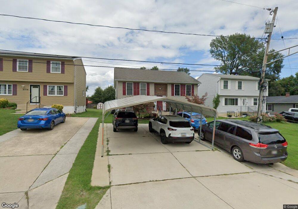
This home is located at 8712 Mulberry St, Laurel, MD 20707 and is currently estimated at $479,603, approximately $421 per square foot. 8712 Mulberry St is a home located in Prince George's County with nearby schools including James H. Harrison Elementary School, Dwight D. Eisenhower Middle School, and Laurel High School.
Ownership History
We collect this data history from publicly available records. To have your information removed, we recommend requesting removal directly through your county’s website.
Purchase Details
Purchase Details
Purchase Details
Purchase Details
Home Values in the Area
Average Home Value in this Area
Purchase History
We collect this data history from publicly available records. To have your information removed, we recommend requesting removal directly through your county’s website.
| Date | Buyer | Sale Price | Title Company |
|---|---|---|---|
| -- | Accommodation | ||
| $230,000 | -- | ||
| $50,000 | -- | ||
| -- | -- |
Tax History
We collect this data history from publicly available records. To have your information removed, we recommend requesting removal directly through your county’s website.
| Year | Tax Paid | Tax Assessment Tax Assessment Total Assessment is a certain percentage of the fair market value that is determined by local assessors to be the total taxable value of land and additions on the property. | Land | Improvement |
|---|---|---|---|---|
| 2025 | $5,093 | $449,200 | $111,000 | $338,200 |
| 2024 | $5,093 | $414,200 | -- | -- |
| 2023 | $4,842 | $379,200 | $0 | $0 |
| 2022 | $4,549 | $344,200 | $101,000 | $243,200 |
| 2021 | $4,395 | $336,767 | $0 | $0 |
| 2020 | $4,336 | $329,333 | $0 | $0 |
| 2019 | $4,610 | $321,900 | $75,500 | $246,400 |
| 2018 | $3,884 | $290,433 | $0 | $0 |
| 2017 | $3,663 | $258,967 | $0 | $0 |
| 2016 | -- | $227,500 | $0 | $0 |
| 2015 | $3,259 | $224,800 | $0 | $0 |
| 2014 | $3,259 | $222,100 | $0 | $0 |
Map
- 0 Railroad Ave
- 9250 Cherry Ln Unit 6
- 14405 Baltimore Ave
- 14224 Greenview Dr
- 14026 Briarwood Dr
- 14215 Greenview Dr
- 9302 Player Dr
- 9348 Creekview Dr
- 13909 Baltimore Ave
- 14226 Yardarm Way Unit 109
- 14111F William St
- 14113 William St Unit 17-C
- 103 Green Branch Rd
- 7907 Crows Nest Ct Unit 11
- 9318 Player Dr
- 14119 Bowsprit Ln Unit 312
- 14007 Briston St
- 14308 Bowsprit Ln Unit 11
- 14019B Justin Way
- 130 Green Branch Rd
- 8706 Mulberry St
- 8714 Mulberry St
- 8704 Mulberry St
- 8716 Mulberry St
- 8700 Mulberry St
- 8713 Mulberry St
- 8711 Mulberry St
- 8715 Mulberry St
- 8709 Mulberry St
- 12 Portside Ct Mulberry St
- 8620 Mulberry St
- 8717 Mulberry St
- 8705 Mulberry St
- 14301 Williamson Ave
- 8707 Mulberry St
- 8703 Mulberry St
- 14205 Williamson Ave
- 8712 Chestnut Ridge Dr
- 8710 Chestnut Ridge Dr
- 8714 Chestnut Ridge Dr
Ask me questions while you tour the home.