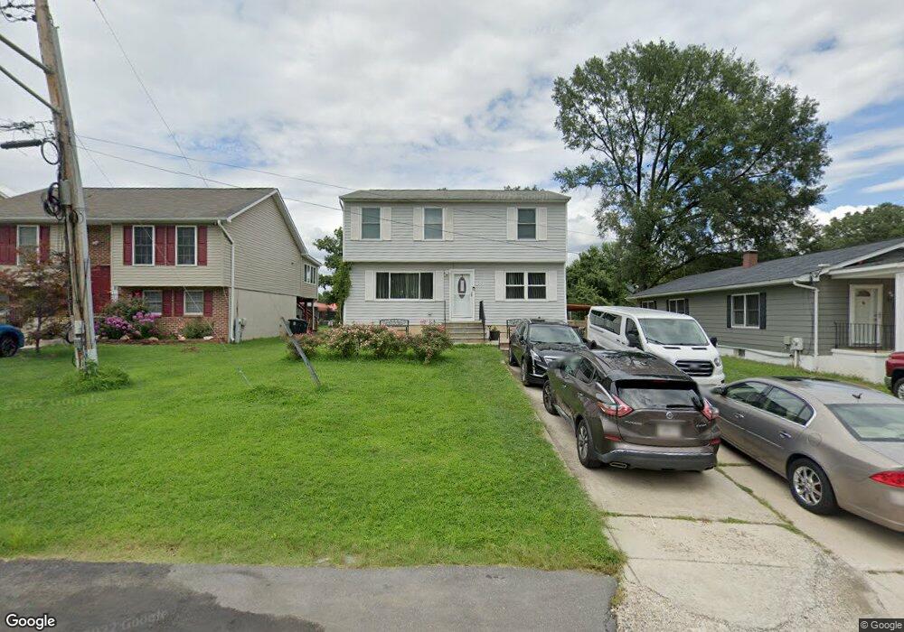
8714 Mulberry St Laurel, MD 20707
South Laurel NeighborhoodEstimated Value: $484,879 - $581,000
Studio
3
Baths
1,696
Sq Ft
$317/Sq Ft
Est. Value
About This Home
This home is located at 8714 Mulberry St, Laurel, MD 20707 and is currently estimated at $537,626, approximately $316 per square foot. 8714 Mulberry St is a home located in Prince George's County with nearby schools including James H. Harrison Elementary School, Dwight D. Eisenhower Middle School, and Laurel High School.
Ownership History
Date
Name
Owned For
Owner Type
Purchase Details
Closed on
Aug 11, 1995
Sold by
Stone William M
Bought by
Matthews Everett M
Current Estimated Value
Home Financials for this Owner
Home Financials are based on the most recent Mortgage that was taken out on this home.
Original Mortgage
$144,900
Interest Rate
7.48%
Create a Home Valuation Report for This Property
The Home Valuation Report is an in-depth analysis detailing your home's value as well as a comparison with similar homes in the area
Home Values in the Area
Average Home Value in this Area
Purchase History
| Date | Buyer | Sale Price | Title Company |
|---|---|---|---|
| Matthews Everett M | $144,900 | -- |
Source: Public Records
Mortgage History
| Date | Status | Borrower | Loan Amount |
|---|---|---|---|
| Closed | Matthews Everett M | $144,900 |
Source: Public Records
Tax History
| Year | Tax Paid | Tax Assessment Tax Assessment Total Assessment is a certain percentage of the fair market value that is determined by local assessors to be the total taxable value of land and additions on the property. | Land | Improvement |
|---|---|---|---|---|
| 2025 | $399 | $489,900 | $111,300 | $378,600 |
| 2024 | $399 | $431,500 | -- | -- |
| 2023 | $4,149 | $373,100 | $0 | $0 |
| 2022 | $398 | $314,700 | $101,300 | $213,400 |
| 2021 | $398 | $314,700 | $101,300 | $213,400 |
| 2020 | $398 | $314,700 | $101,300 | $213,400 |
| 2019 | $398 | $327,400 | $75,600 | $251,800 |
| 2018 | $398 | $308,967 | $0 | $0 |
| 2017 | $398 | $290,533 | $0 | $0 |
| 2016 | -- | $272,100 | $0 | $0 |
| 2015 | $347 | $263,167 | $0 | $0 |
| 2014 | $347 | $254,233 | $0 | $0 |
Source: Public Records
Map
Nearby Homes
- 0 Railroad Ave
- 9278 Cherry Ln Unit 91
- 8404 Holly St
- 9260 Cherry Ln Unit 34
- 14215 Summit Ln
- 14210 Greenview Dr
- 13503 Briarwood Dr
- 103 Green Branch Rd
- 14111F William St
- 14105 William St Unit 15-C
- 14113 William St Unit 17-C
- 9318 Player Dr
- 7907 Crows Nest Ct Unit 11
- 14119 Bowsprit Ln Unit 312
- 14117 Bowsprit Ln Unit 307
- 14007 Briston St
- 14308 Bowsprit Ln Unit 11
- 14229 Bowsprit Ln Unit 501
- 9432 Nicklaus Ln
- 136 Green Branch Rd
- 8712 Mulberry St
- 8716 Mulberry St
- 8706 Mulberry St
- 8704 Mulberry St
- 8715 Mulberry St
- 8713 Mulberry St
- 8717 Mulberry St
- 8711 Mulberry St
- 8700 Mulberry St
- 8709 Mulberry St
- 12 Portside Ct Mulberry St
- 8620 Mulberry St
- 8705 Mulberry St
- 14301 Williamson Ave
- 8707 Mulberry St
- 8703 Mulberry St
- 8714 Chestnut Ridge Dr
- 8712 Chestnut Ridge Dr
- 8716 Chestnut Ridge Dr
- 8710 Chestnut Ridge Dr
Your Personal Tour Guide
Ask me questions while you tour the home.