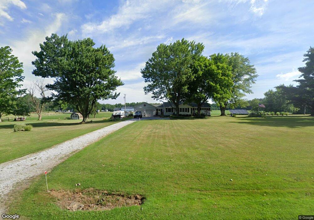
875 Crall Rd Mansfield, OH 44903
Estimated Value: $153,000 - $198,991
3
Beds
1
Bath
1,264
Sq Ft
$147/Sq Ft
Est. Value
About This Home
This home is located at 875 Crall Rd, Mansfield, OH 44903 and is currently estimated at $185,748, approximately $146 per square foot. 875 Crall Rd is a home located in Richland County with nearby schools including Crestview Elementary School, Crestview Middle School, and Crestview High School.
Ownership History
Date
Name
Owned For
Owner Type
Purchase Details
Closed on
Jun 29, 2023
Sold by
Kuhn Carolyn S and Buchanan Kathy R
Bought by
Carolyn S Kuhn Trust and Kuhn
Current Estimated Value
Purchase Details
Closed on
Jul 17, 2002
Sold by
Mawhorr Lloyd D
Bought by
Kuhn Carolyn S and Buchanan Kathy R
Home Financials for this Owner
Home Financials are based on the most recent Mortgage that was taken out on this home.
Original Mortgage
$102,885
Interest Rate
6.79%
Mortgage Type
FHA
Create a Home Valuation Report for This Property
The Home Valuation Report is an in-depth analysis detailing your home's value as well as a comparison with similar homes in the area
Home Values in the Area
Average Home Value in this Area
Purchase History
| Date | Buyer | Sale Price | Title Company |
|---|---|---|---|
| Carolyn S Kuhn Trust | -- | None Listed On Document | |
| Carolyn S Kuhn Trust | -- | None Listed On Document | |
| Kuhn Carolyn S | $104,500 | -- |
Source: Public Records
Mortgage History
| Date | Status | Borrower | Loan Amount |
|---|---|---|---|
| Previous Owner | Kuhn Carolyn S | $102,885 |
Source: Public Records
Tax History
| Year | Tax Paid | Tax Assessment Tax Assessment Total Assessment is a certain percentage of the fair market value that is determined by local assessors to be the total taxable value of land and additions on the property. | Land | Improvement |
|---|---|---|---|---|
| 2025 | $1,439 | $41,660 | $7,790 | $33,870 |
| 2024 | $1,439 | $41,660 | $7,790 | $33,870 |
| 2023 | $1,477 | $41,660 | $7,790 | $33,870 |
| 2022 | $1,621 | $40,380 | $8,120 | $32,260 |
| 2021 | $1,623 | $40,380 | $8,120 | $32,260 |
| 2020 | $1,626 | $40,380 | $8,120 | $32,260 |
| 2019 | $1,454 | $34,230 | $6,880 | $27,350 |
| 2018 | $1,469 | $34,230 | $6,880 | $27,350 |
| 2017 | $1,445 | $34,230 | $6,880 | $27,350 |
| 2016 | $1,384 | $34,240 | $6,270 | $27,970 |
| 2015 | $1,443 | $34,240 | $6,270 | $27,970 |
| 2014 | $1,443 | $34,240 | $6,270 | $27,970 |
| 2012 | $701 | $35,290 | $6,460 | $28,830 |
Source: Public Records
Map
Nearby Homes
- 961 Neil Cir N
- 573 Caldwell Ave
- 0 Wesley
- 1440 Barbara Ln
- 690 Ashland Rd
- 888 Beal Rd
- 0 Miller Pkwy
- 943 Yale Ave
- 395 Cairns Rd
- 1990 Woodmont Rd
- 1168 ConcheMcO St
- 1217 Evergreen Ave W
- 683 Coachman Rd
- 672 Coachman Rd
- 684 N Mcelroy Rd
- 1226 Evergreen Ave W
- 646 Fleetwood Rd
- 644 Skyline Rd
- 602 Champion Rd
- 632 Coachman Rd
Your Personal Tour Guide
Ask me questions while you tour the home.