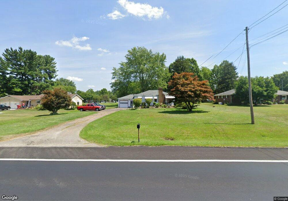
876 State Route 7 NE Brookfield, OH 44403
Estimated Value: $136,000 - $156,000
3
Beds
1
Bath
988
Sq Ft
$146/Sq Ft
Est. Value
About This Home
This home is located at 876 State Route 7 NE, Brookfield, OH 44403 and is currently estimated at $144,502, approximately $146 per square foot. 876 State Route 7 NE is a home located in Trumbull County with nearby schools including Brookfield Elementary School, Brookfield Middle School, and Brookfield High School.
Ownership History
Date
Name
Owned For
Owner Type
Purchase Details
Closed on
May 19, 2004
Sold by
Bavola Christine L
Bought by
Mitch David W and Mitch Sherry
Current Estimated Value
Home Financials for this Owner
Home Financials are based on the most recent Mortgage that was taken out on this home.
Original Mortgage
$61,600
Outstanding Balance
$29,591
Interest Rate
5.85%
Mortgage Type
New Conventional
Estimated Equity
$114,911
Purchase Details
Closed on
Jan 1, 1990
Bought by
Christine L Bavola
Create a Home Valuation Report for This Property
The Home Valuation Report is an in-depth analysis detailing your home's value as well as a comparison with similar homes in the area
Purchase History
| Date | Buyer | Sale Price | Title Company |
|---|---|---|---|
| Mitch David W | $77,000 | -- | |
| Christine L Bavola | -- | -- |
Source: Public Records
Mortgage History
| Date | Status | Borrower | Loan Amount |
|---|---|---|---|
| Open | Mitch David W | $61,600 |
Source: Public Records
Tax History
| Year | Tax Paid | Tax Assessment Tax Assessment Total Assessment is a certain percentage of the fair market value that is determined by local assessors to be the total taxable value of land and additions on the property. | Land | Improvement |
|---|---|---|---|---|
| 2024 | $1,608 | $34,270 | $5,220 | $29,050 |
| 2023 | $1,608 | $34,270 | $5,220 | $29,050 |
| 2022 | $1,462 | $25,270 | $4,760 | $20,510 |
| 2021 | $1,372 | $25,270 | $4,760 | $20,510 |
| 2020 | $1,364 | $25,270 | $4,760 | $20,510 |
| 2019 | $1,315 | $22,720 | $4,410 | $18,310 |
| 2018 | $1,304 | $22,720 | $4,410 | $18,310 |
| 2017 | $1,302 | $22,720 | $4,410 | $18,310 |
| 2016 | $1,220 | $20,480 | $4,900 | $15,580 |
| 2015 | $1,222 | $20,480 | $4,900 | $15,580 |
| 2014 | $1,217 | $20,480 | $4,900 | $15,580 |
| 2013 | $1,264 | $21,670 | $4,900 | $16,770 |
Source: Public Records
Map
Nearby Homes
- 7085 Sunnydell Dr
- 7159 Springdale Dr
- 864 Valley View Dr
- 7291 Oakwood Dr Unit B
- 711 State Route 7 SE
- 0 Oakwood Dr Unit 5197641
- 0 Addison Unit 5199691
- 928 Bedford Rd
- 7954 Warren - Sharon Rd
- 726 Boyd St NE
- 759 Gaylord Ave
- 1017 Broadway St
- 7620 Thompson Sharpsville Rd NE
- 1400 Thomas Hubbard Rd
- 457 Lincoln St
- 418 Ellsworth St
- 461 Grove St
- 388 Lincoln St
- 425 Grove St
- 672 S Stateline Rd
- 860 Richard
- 886 State Route 7 NE
- 886 State Route 7 NE
- 898 State Route 7 NE
- 6969 Richard Dr
- 846 State Route 7 NE
- 846 Ohio 7
- 6970 Richard Dr
- 861 State Route 7 NE
- 895 State Route 7 NE
- 885 David Ln NE
- 6981 Richard Dr
- 836 State Route 7 NE
- 895 David Ln NE
- 6976 Richard Dr
- 905 David Ln NE
- 915 State Route 7 NE
- 824 State Route 7 NE
- 6990 Richard Dr
- 915 David Ln NE
Your Personal Tour Guide
Ask me questions while you tour the home.