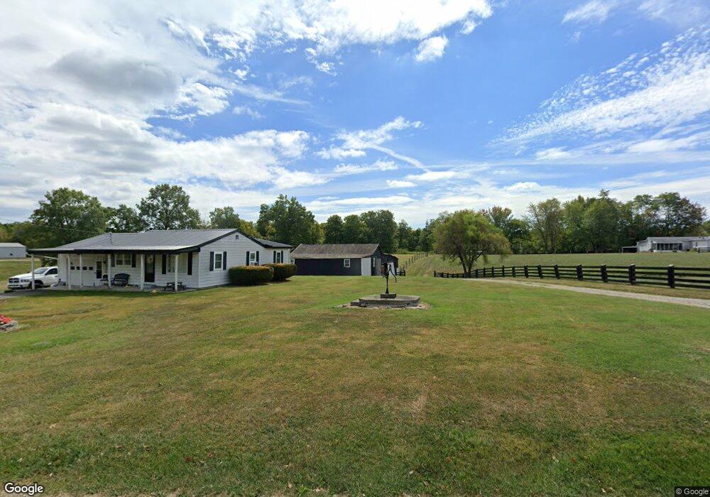
8786 McGohan Rd Georgetown, OH 45121
Estimated Value: $166,297 - $271,000
2
Beds
1
Bath
1,448
Sq Ft
$147/Sq Ft
Est. Value
About This Home
This home is located at 8786 McGohan Rd, Georgetown, OH 45121 and is currently estimated at $213,574, approximately $147 per square foot. 8786 McGohan Rd is a home located in Brown County with nearby schools including Georgetown Elementary School and Georgetown Jr/Sr High School.
Ownership History
Date
Name
Owned For
Owner Type
Purchase Details
Closed on
Jan 27, 2023
Sold by
Carrlngton Ethel M
Bought by
Carrington Jeffery L and Carrlngton Julie M
Current Estimated Value
Home Financials for this Owner
Home Financials are based on the most recent Mortgage that was taken out on this home.
Original Mortgage
$74,750
Outstanding Balance
$72,478
Interest Rate
6.31%
Mortgage Type
New Conventional
Estimated Equity
$141,096
Purchase Details
Closed on
Feb 28, 2022
Sold by
Carrington Ethel M
Bought by
Carrington Michael E and Carrington Jeffery L
Purchase Details
Closed on
Jul 8, 2016
Sold by
Carrington Donald
Bought by
Carrington Ethel
Create a Home Valuation Report for This Property
The Home Valuation Report is an in-depth analysis detailing your home's value as well as a comparison with similar homes in the area
Purchase History
| Date | Buyer | Sale Price | Title Company |
|---|---|---|---|
| Carrington Jeffery L | $115,000 | -- | |
| Carrington Jeffery L | $115,000 | None Listed On Document | |
| Carrington Michael E | -- | None Listed On Document | |
| Carrington Ethel | -- | None Available |
Source: Public Records
Mortgage History
| Date | Status | Borrower | Loan Amount |
|---|---|---|---|
| Open | Carrington Jeffery L | $74,750 | |
| Closed | Carrington Jeffery L | $74,750 |
Source: Public Records
Tax History
| Year | Tax Paid | Tax Assessment Tax Assessment Total Assessment is a certain percentage of the fair market value that is determined by local assessors to be the total taxable value of land and additions on the property. | Land | Improvement |
|---|---|---|---|---|
| 2024 | $1,295 | $41,340 | $7,760 | $33,580 |
| 2023 | $1,294 | $24,170 | $1,690 | $22,480 |
| 2022 | $498 | $24,170 | $1,690 | $22,480 |
| 2021 | $493 | $24,170 | $1,690 | $22,480 |
| 2020 | $405 | $21,020 | $1,470 | $19,550 |
| 2019 | $201 | $21,020 | $1,470 | $19,550 |
| 2018 | $398 | $21,020 | $1,470 | $19,550 |
| 2017 | $374 | $20,210 | $1,620 | $18,590 |
| 2016 | $374 | $20,210 | $1,620 | $18,590 |
| 2015 | $473 | $23,050 | $4,460 | $18,590 |
| 2014 | $471 | $22,640 | $4,050 | $18,590 |
| 2013 | $469 | $22,640 | $4,050 | $18,590 |
Source: Public Records
Map
Nearby Homes
- 1 N Kenwood Ave
- 2 N Kenwood Ave
- 60 New St
- 708 E State St
- 399 Elmwood Ct
- 666 E State St
- 406 E North St
- 405 N Main St
- 200 N High St
- 175 Douglas Cir
- 90 Douglas Cir
- 510 W State St
- 155 Free Soil Rd
- 38 Dell Acres Dr
- 20 Heritage Hill Dr
- 9995 U S 68
- 0 St Rt 221 & Footbridge Unit 1826509
- 0 Barnes Rd Unit 1851215
- 3486 Barnes Rd
- 3546 Ohio 125
- 8809 McGohan Rd
- 8706 McGohan Rd
- 8844 McGohan Rd
- 8737 McGohan Rd
- 8759 McGohan Rd
- 8908 McGohan Rd
- 8861 McGohan Rd
- 8674 McGohan Rd
- 5277 Camp Run Rd
- 5277 Camp Run Rd
- 5201 Camp Run Rd
- 5201 Camp Run Rd
- 0 McGohan Rd Unit 1186284
- 0 McGohan Rd Unit 1205837
- 0 McGohan Rd Unit 1354129
- 5222 Camp Run Rd
- 5315 Camp Run Rd
- 5329 Camp Run Rd
- 5117 Camp Run Rd
- 5134 Camp Run Rd
Your Personal Tour Guide
Ask me questions while you tour the home.