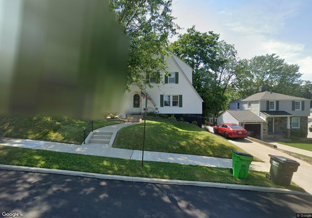
879 Phillips Rd NE Massillon, OH 44646
Sippo Heights NeighborhoodEstimated Value: $196,406 - $232,000
About This Home
This home is located at 879 Phillips Rd NE, Massillon, OH 44646 and is currently estimated at $213,102, approximately $133 per square foot. 879 Phillips Rd NE is a home located in Stark County with nearby schools including Massillon Intermediate School, Massillon Junior High School, and Washington High School.
Ownership History
We collect this data history from publicly available records. To have your information removed, we recommend requesting removal directly through your county’s website.
Purchase Details
Home Financials for this Owner
Home Financials are based on the most recent Mortgage that was taken out on this home.Home Values in the Area
Average Home Value in this Area
Purchase History
We collect this data history from publicly available records. To have your information removed, we recommend requesting removal directly through your county’s website.
| Date | Buyer | Sale Price | Title Company |
|---|---|---|---|
| $115,000 | None Available |
Mortgage History
We collect this data history from publicly available records. To have your information removed, we recommend requesting removal directly through your county’s website.
| Date | Status | Borrower | Loan Amount |
|---|---|---|---|
| Closed | $112,917 |
Tax History
We collect this data history from publicly available records. To have your information removed, we recommend requesting removal directly through your county’s website.
| Year | Tax Paid | Tax Assessment Tax Assessment Total Assessment is a certain percentage of the fair market value that is determined by local assessors to be the total taxable value of land and additions on the property. | Land | Improvement |
|---|---|---|---|---|
| 2025 | -- | $58,700 | $10,610 | $48,090 |
| 2024 | -- | $58,700 | $10,610 | $48,090 |
| 2023 | $2,570 | $43,510 | $9,100 | $34,410 |
| 2022 | $2,573 | $43,510 | $9,100 | $34,410 |
| 2021 | $2,609 | $43,510 | $9,100 | $34,410 |
| 2020 | $1,951 | $35,280 | $7,420 | $27,860 |
| 2019 | $1,923 | $30,150 | $7,430 | $22,720 |
| 2018 | $1,162 | $30,150 | $7,430 | $22,720 |
| 2017 | $1,088 | $27,450 | $6,760 | $20,690 |
| 2016 | $947 | $24,750 | $6,760 | $17,990 |
| 2015 | $935 | $24,750 | $6,760 | $17,990 |
| 2014 | $934 | $24,200 | $6,620 | $17,580 |
| 2013 | $471 | $24,200 | $6,620 | $17,580 |
Map
- 1621 Hobart Ave NE
- 1055 Scottwood Place NE Unit 1055C
- 727 Franklin Rd NE
- 216 Lewis Place NE
- 1870 Stoner Ave NE
- 842 Seneca St NE
- 1210 Pebble Chase Cir NE
- 421 19th St NE
- 431 11th St NE
- 1720 Lincoln Way E
- 211 Parkview St NE
- 864 10th St NE
- 920 9th St NE
- 418 9th St NE
- 1212 10th St NE
- 1322 Springhill Ln NE
- 111 9th St NE
- 3552 Marys Way Ave NW
- 3543 Marys Way Ave NW
- 3688 Marys Way Ave NW
- 875 Phillips Rd NE
- 885 Phillips Rd NE
- 889 Phillips Rd NE
- 922 Campbell Cir NE
- 865 Phillips Rd NE
- 860 Campbell Cir NE
- 876 Campbell Cir NE
- 856 Campbell Cir NE
- 872 Phillips Rd NE
- 910 Campbell Cir NE
- 868 Phillips Rd NE
- 886 Phillips Rd NE
- 854 Campbell Cir NE
- 866 Phillips Rd NE
- 864 Phillips Rd NE
- 855 Phillips Rd NE
- 860 Phillips Rd NE
- 917 Campbell Cir NE
- 927 Campbell Cir NE
- 923 Campbell Cir NE
Ask me questions while you tour the home.