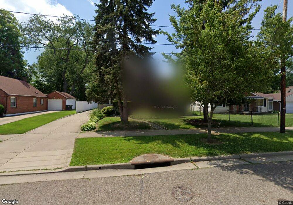
880 Garth Ave Akron, OH 44320
West Akron NeighborhoodEstimated Value: $108,623 - $162,000
5
Beds
2
Baths
1,365
Sq Ft
$99/Sq Ft
Est. Value
About This Home
This home is located at 880 Garth Ave, Akron, OH 44320 and is currently estimated at $134,656, approximately $98 per square foot. 880 Garth Ave is a home located in Summit County with nearby schools including Julie Billiart School Akron.
Ownership History
Date
Name
Owned For
Owner Type
Purchase Details
Closed on
Oct 7, 1997
Sold by
Atalla Helen
Bought by
Purefoy Stacy
Current Estimated Value
Home Financials for this Owner
Home Financials are based on the most recent Mortgage that was taken out on this home.
Original Mortgage
$65,440
Outstanding Balance
$10,597
Interest Rate
7.54%
Mortgage Type
FHA
Estimated Equity
$124,059
Create a Home Valuation Report for This Property
The Home Valuation Report is an in-depth analysis detailing your home's value as well as a comparison with similar homes in the area
Home Values in the Area
Average Home Value in this Area
Purchase History
We collect this data history from publicly available records. To have your information removed, we recommend requesting removal directly through your county’s website.
| Date | Buyer | Sale Price | Title Company |
|---|---|---|---|
| Purefoy Stacy | $65,500 | -- |
Source: Public Records
Mortgage History
We collect this data history from publicly available records. To have your information removed, we recommend requesting removal directly through your county’s website.
| Date | Status | Borrower | Loan Amount |
|---|---|---|---|
| Open | Purefoy Stacy | $65,440 |
Source: Public Records
Tax History
| Year | Tax Paid | Tax Assessment Tax Assessment Total Assessment is a certain percentage of the fair market value that is determined by local assessors to be the total taxable value of land and additions on the property. | Land | Improvement |
|---|---|---|---|---|
| 2024 | $543 | $17,574 | $4,141 | $13,433 |
| 2023 | $543 | $17,574 | $4,141 | $13,433 |
| 2022 | $388 | $12,954 | $2,958 | $9,996 |
| 2021 | $388 | $12,954 | $2,958 | $9,996 |
| 2020 | $384 | $12,960 | $2,960 | $10,000 |
| 2019 | $1,287 | $16,630 | $4,570 | $12,060 |
| 2018 | $1,271 | $16,630 | $4,570 | $12,060 |
| 2017 | $1,309 | $16,630 | $4,570 | $12,060 |
| 2016 | $1,310 | $16,900 | $4,570 | $12,330 |
| 2015 | $1,309 | $16,900 | $4,570 | $12,330 |
| 2014 | $1,299 | $16,900 | $4,570 | $12,330 |
| 2013 | $1,386 | $18,540 | $4,570 | $13,970 |
Source: Public Records
Map
Nearby Homes
- 600 Grace Ave
- 605 East Ave
- 860 Mercer Ave
- 549 Bacon Ave
- 517 East Ave
- 459 Noah Ave
- 516 Wildwood Ave
- 431 Noah Ave
- 934 Packard Dr
- 460 Auld Farm Cir
- 994 Peerless Ave
- 687 Moreley Ave
- 572 Auld Farm Cir
- 644 Diagonal Rd
- 404 Noah Ave
- 926 Winton Ave
- 1043 Slosson St
- 677 Crossings Ln
- 524 Auld Farm Cir
- 671 Moreley Ave
Your Personal Tour Guide
Ask me questions while you tour the home.