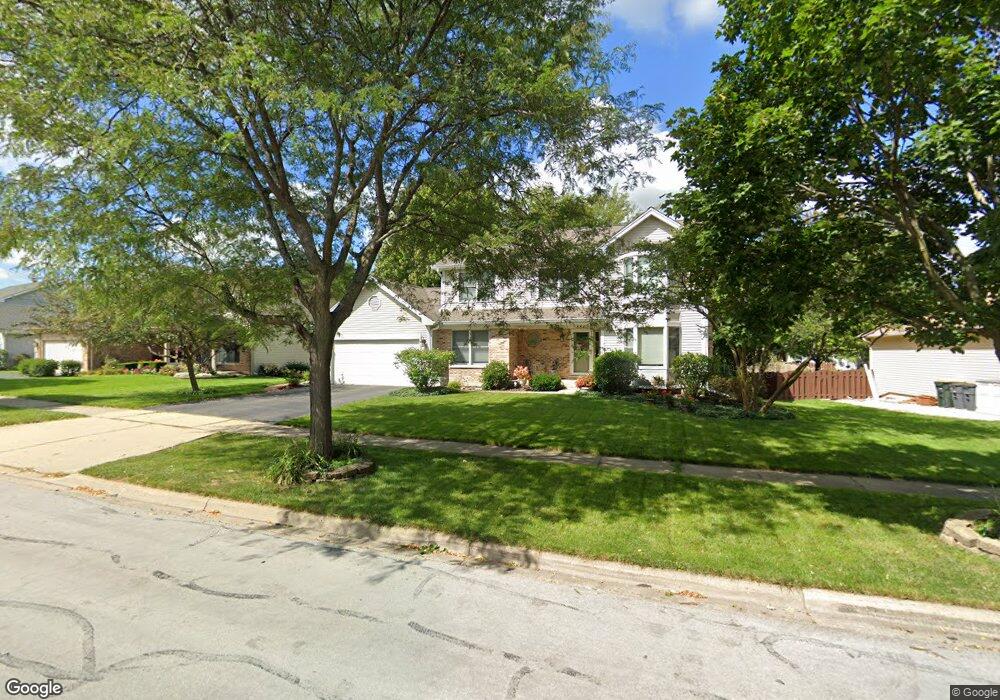
884 Hampton Dr Carol Stream, IL 60188
Estimated Value: $583,000 - $600,006
About This Home
This home is located at 884 Hampton Dr, Carol Stream, IL 60188 and is currently estimated at $592,752, approximately $237 per square foot. 884 Hampton Dr is a home located in DuPage County with nearby schools including Heritage Lakes Elementary School, Jay Stream Middle School, and Glenbard North High School.
Ownership History
We collect this data history from publicly available records. To have your information removed, we recommend requesting removal directly through your county’s website.
Purchase Details
Home Financials for this Owner
Home Financials are based on the most recent Mortgage that was taken out on this home.Purchase Details
Home Values in the Area
Average Home Value in this Area
Purchase History
We collect this data history from publicly available records. To have your information removed, we recommend requesting removal directly through your county’s website.
| Date | Buyer | Sale Price | Title Company |
|---|---|---|---|
| $520,000 | None Listed On Document | ||
| -- | -- |
Mortgage History
We collect this data history from publicly available records. To have your information removed, we recommend requesting removal directly through your county’s website.
| Date | Status | Borrower | Loan Amount |
|---|---|---|---|
| Open | $494,000 |
Tax History
We collect this data history from publicly available records. To have your information removed, we recommend requesting removal directly through your county’s website.
| Year | Tax Paid | Tax Assessment Tax Assessment Total Assessment is a certain percentage of the fair market value that is determined by local assessors to be the total taxable value of land and additions on the property. | Land | Improvement |
|---|---|---|---|---|
| 2024 | $13,485 | $165,231 | $43,504 | $121,727 |
| 2023 | $12,685 | $149,910 | $39,470 | $110,440 |
| 2022 | $12,804 | $144,770 | $36,680 | $108,090 |
| 2021 | $12,211 | $137,430 | $34,820 | $102,610 |
| 2020 | $11,954 | $133,310 | $33,780 | $99,530 |
| 2019 | $11,520 | $128,550 | $32,570 | $95,980 |
| 2018 | $10,851 | $123,020 | $31,170 | $91,850 |
| 2017 | $10,649 | $118,120 | $29,930 | $88,190 |
| 2016 | $10,461 | $112,830 | $28,590 | $84,240 |
| 2015 | $10,393 | $106,800 | $27,060 | $79,740 |
| 2014 | $10,286 | $104,090 | $26,370 | $77,720 |
| 2013 | $10,221 | $106,580 | $27,000 | $79,580 |
Map
- 902 Somerset Dr
- 645 Chestnut Dr
- 834 River Dr
- 1093 Brighton Dr
- 684 Huntington Dr
- 1094 Oak Wood Dr
- 793 Santa fe Ct
- 886 Farm Glen Ln
- 612 Stuart Dr
- 447 Canterbury Dr Unit 447-12E
- 1230 Trinity Dr
- 1090 Winding Glen Ct
- 725 Buffalo Cir
- 593 Iroquois Trail
- 554 Alton Ct Unit 224
- 410 Flint Trail
- 548 Alton Ct
- 553 Alton Ct Unit 2113
- 586 Aztec Dr
- 701 Buffalo Cir
- 878 Hampton Dr
- 882 Hampton Dr
- 883 Chatham Dr
- 876 Hampton Dr
- 885 Chatham Dr
- 881 Chatham Dr
- 766 Princetown Ct
- 887 Chatham Dr
- 825 Provincetown Dr
- 886 Hampton Dr
- 879 Chatham Dr
- 875 Hampton Dr
- 874 Hampton Dr
- 764 Princetown Ct
- 889 Chatham Dr
- 763 Princetown Ct
- 884 Chatham Dr
- 882 Chatham Dr
- 888 Hampton Dr
- 885 Hampton Dr
Ask me questions while you tour the home.