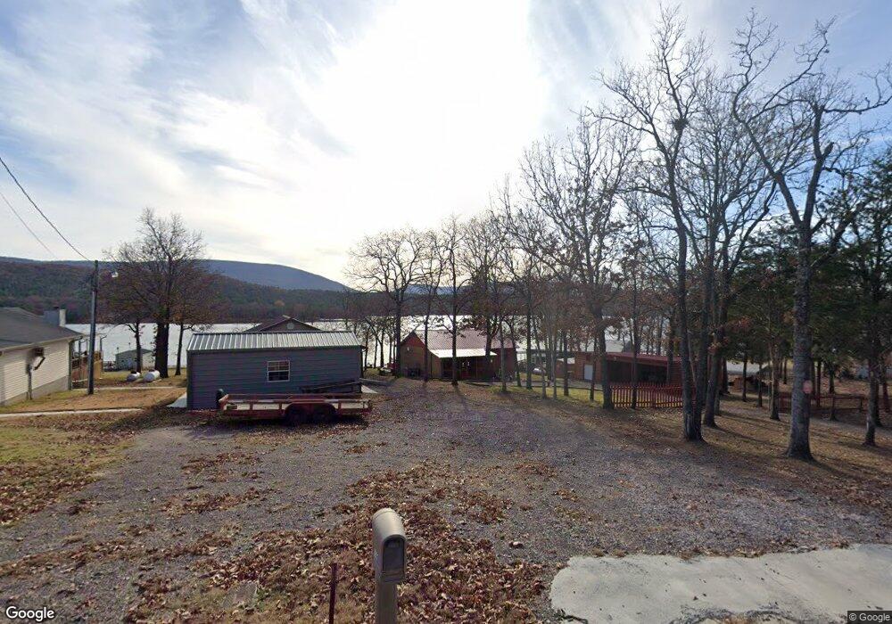
8841 Northshore Dr Hackett, AR 72937
Estimated Value: $115,000 - $140,000
Studio
1
Bath
1,024
Sq Ft
$129/Sq Ft
Est. Value
About This Home
This home is located at 8841 Northshore Dr, Hackett, AR 72937 and is currently estimated at $132,330, approximately $129 per square foot. 8841 Northshore Dr is a home located in Sebastian County with nearby schools including Hackett Elementary School and Hackett High School.
Ownership History
Date
Name
Owned For
Owner Type
Purchase Details
Closed on
Mar 26, 2015
Sold by
Hale Betty
Bought by
Weisenfels Albert
Current Estimated Value
Home Financials for this Owner
Home Financials are based on the most recent Mortgage that was taken out on this home.
Original Mortgage
$59,750
Outstanding Balance
$20,805
Interest Rate
3.73%
Mortgage Type
New Conventional
Estimated Equity
$111,525
Purchase Details
Closed on
Feb 16, 2015
Sold by
Wolf Creek Builders Inc
Bought by
Belcorp Llc
Home Financials for this Owner
Home Financials are based on the most recent Mortgage that was taken out on this home.
Original Mortgage
$59,750
Outstanding Balance
$20,805
Interest Rate
3.73%
Mortgage Type
New Conventional
Estimated Equity
$111,525
Purchase Details
Closed on
Jan 24, 1984
Bought by
Henry
Create a Home Valuation Report for This Property
The Home Valuation Report is an in-depth analysis detailing your home's value as well as a comparison with similar homes in the area
Purchase History
| Date | Buyer | Sale Price | Title Company |
|---|---|---|---|
| Weisenfels Albert | $62,900 | Waco Title Co Fort Smith | |
| Belcorp Llc | $193,000 | Guaranty Abstract | |
| Henry | -- | -- |
Source: Public Records
Mortgage History
| Date | Status | Borrower | Loan Amount |
|---|---|---|---|
| Open | Weisenfels Albert | $59,750 |
Source: Public Records
Tax History
| Year | Tax Paid | Tax Assessment Tax Assessment Total Assessment is a certain percentage of the fair market value that is determined by local assessors to be the total taxable value of land and additions on the property. | Land | Improvement |
|---|---|---|---|---|
| 2025 | $590 | $24,662 | $3,750 | $20,912 |
| 2024 | $577 | $12,080 | $3,000 | $9,080 |
| 2023 | $137 | $12,080 | $3,000 | $9,080 |
| 2022 | $187 | $12,080 | $3,000 | $9,080 |
| 2021 | $187 | $12,080 | $3,000 | $9,080 |
| 2020 | $187 | $12,080 | $3,000 | $9,080 |
| 2019 | $213 | $12,650 | $3,000 | $9,650 |
| 2018 | $238 | $12,650 | $3,000 | $9,650 |
| 2017 | $238 | $12,650 | $3,000 | $9,650 |
| 2016 | $575 | $12,650 | $3,000 | $9,650 |
| 2015 | $575 | $12,650 | $3,000 | $9,650 |
| 2014 | $537 | $11,240 | $3,000 | $8,240 |
Source: Public Records
Map
Nearby Homes
- 10011 Southshore Dr
- 8911 W Highway 252
- 7920 Dugan Dr
- 9609 Fox Pit Rd
- 5015 Slaytonville Rd
- 9614 Woolly Bend
- 8800 Shady Valley Ln
- 7001 Slaytonville Rd
- 412 N 3rd St
- 8443 S Highway 253
- TBD Hwy 45
- 513 E Adams Ave
- 5525 Slaytonville Rd
- 8596 Ar-252
- 4721 Cobblestone Rd
- 11238 Liberty Hill Rd
- 407 W 5th St
- 108 Apex Place
- 210 Route 45
- 221 E Main St
- 8837 Northshore Dr
- 8831 Northshore Dr
- 8838 Northshore Dr
- 8827 Northshore Dr
- 9009 Northshore Dr
- 8829 Northshore Dr
- 8823 Northshore Dr
- 8830 Northshore Dr
- 9017 Northshore Dr
- 9012 Northshore Dr
- 8807 Northshore Dr
- 9020 Northshore Dr
- 8810 Northshore Dr
- 8802 Northshore Dr
- 8925 Northshore Place
- 9103 Northshore Dr
- 8639 Northshore Bend
- 8927 Northshore Place
- 9107 Northshore Dr
- 8762 Northshore Dr
Your Personal Tour Guide
Ask me questions while you tour the home.