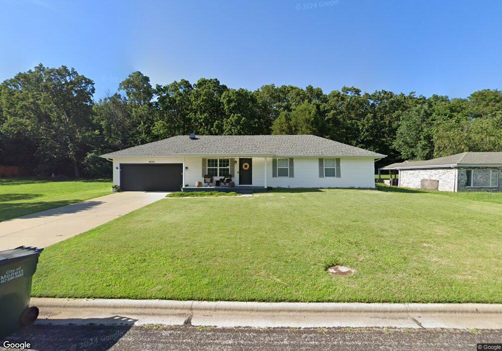
8855 Brookside Cir Monett, MO 65708
Estimated Value: $197,733 - $252,000
3
Beds
2
Baths
1,300
Sq Ft
$164/Sq Ft
Est. Value
About This Home
This home is located at 8855 Brookside Cir, Monett, MO 65708 and is currently estimated at $213,433, approximately $164 per square foot. 8855 Brookside Cir is a home located in Lawrence County with nearby schools including Monett Elementary School, Monett Intermediate School, and Central Park Elementary School.
Ownership History
Date
Name
Owned For
Owner Type
Purchase Details
Closed on
Mar 30, 2007
Sold by
Chastain Bryant and Chastain Montana
Bought by
Loeckel Sierra L and Mccaffrey Joshua A
Current Estimated Value
Home Financials for this Owner
Home Financials are based on the most recent Mortgage that was taken out on this home.
Original Mortgage
$98,700
Outstanding Balance
$60,167
Interest Rate
6.3%
Estimated Equity
$153,266
Create a Home Valuation Report for This Property
The Home Valuation Report is an in-depth analysis detailing your home's value as well as a comparison with similar homes in the area
Home Values in the Area
Average Home Value in this Area
Purchase History
| Date | Buyer | Sale Price | Title Company |
|---|---|---|---|
| Loeckel Sierra L | -- | None Available |
Source: Public Records
Mortgage History
| Date | Status | Borrower | Loan Amount |
|---|---|---|---|
| Open | Loeckel Sierra L | $98,700 |
Source: Public Records
Tax History
| Year | Tax Paid | Tax Assessment Tax Assessment Total Assessment is a certain percentage of the fair market value that is determined by local assessors to be the total taxable value of land and additions on the property. | Land | Improvement |
|---|---|---|---|---|
| 2025 | $1,098 | $22,630 | $2,360 | $20,270 |
| 2024 | $1,008 | $20,640 | $2,360 | $18,280 |
| 2023 | $950 | $20,640 | $2,360 | $18,280 |
| 2022 | $936 | $19,310 | $2,360 | $16,950 |
| 2021 | $938 | $19,310 | $2,360 | $16,950 |
| 2020 | $930 | $19,000 | $2,050 | $16,950 |
| 2019 | $887 | $19,000 | $2,050 | $16,950 |
| 2018 | $844 | $19,000 | $2,050 | $16,950 |
| 2017 | $838 | $19,000 | $2,050 | $16,950 |
| 2016 | -- | $17,330 | $2,050 | $15,280 |
| 2015 | -- | $17,330 | $2,050 | $15,280 |
| 2014 | -- | $17,330 | $2,050 | $15,280 |
Source: Public Records
Map
Nearby Homes
- 8496 Lawrence 2230
- 3 Remington Dr
- 4 Remington Dr
- 23492 Lawrence 1090
- 1105 N 14th St
- 23548 Lawrence 1090
- 8954 Lawrence 2226p
- 000 County Road 1090
- 1413 4th St
- 1407 4th St
- 917 7th St
- 23394 Lawrence 1096
- 314 Birch St
- 505 9th St
- 102 Kingsley Dr
- 906 E Cale St
- 1401 E Broadway
- Tbd Lawrence 2220
- 1011 3rd St
- 502 7th St
- 8835 Brookside Cir
- 8835 Brookside Cir
- 8870 Brookside Cir
- 8850 Brookside Cir
- 8899 Brookside Cir
- 8815 Brookside Cir
- 8830 Brookside Cir
- 8890 Brookside Cir
- 8819 Brookside Cir
- 8795 Brookside Cir
- 8620 Brookside Cir
- 8640 Brookside Cir
- 8600 Brookside Cir
- 8660 Brookside Cir
- 8785 Brookside Cir
- 8927 Brookside Cir
- 8790 Brookside Cir
- 8580 Brookside Cir
- 8686 Brookside Cir
- Tbd Brookside Cir
Your Personal Tour Guide
Ask me questions while you tour the home.