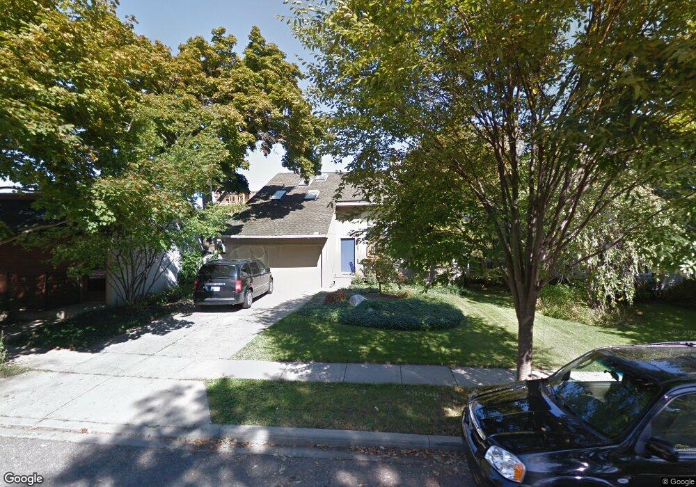
887 Forest Ave Birmingham, MI 48009
Estimated Value: $645,000 - $1,009,000
3
Beds
2
Baths
2,057
Sq Ft
$380/Sq Ft
Est. Value
About This Home
This home is located at 887 Forest Ave, Birmingham, MI 48009 and is currently estimated at $782,464, approximately $380 per square foot. 887 Forest Ave is a home located in Oakland County with nearby schools including Harlan Elementary School, Derby Middle School, and Ernest W. Seaholm High School.
Ownership History
Date
Name
Owned For
Owner Type
Purchase Details
Closed on
Jan 8, 2019
Sold by
Zikakis Damian and Estate Of Katherine C Zikakis
Bought by
Geraghty Richard J and Zikakis Alexandra
Current Estimated Value
Home Financials for this Owner
Home Financials are based on the most recent Mortgage that was taken out on this home.
Original Mortgage
$300,000
Interest Rate
4.4%
Mortgage Type
New Conventional
Create a Home Valuation Report for This Property
The Home Valuation Report is an in-depth analysis detailing your home's value as well as a comparison with similar homes in the area
Home Values in the Area
Average Home Value in this Area
Purchase History
| Date | Buyer | Sale Price | Title Company |
|---|---|---|---|
| Geraghty Richard J | $400,000 | None Available |
Source: Public Records
Mortgage History
| Date | Status | Borrower | Loan Amount |
|---|---|---|---|
| Previous Owner | Geraghty Richard J | $300,000 |
Source: Public Records
Tax History
| Year | Tax Paid | Tax Assessment Tax Assessment Total Assessment is a certain percentage of the fair market value that is determined by local assessors to be the total taxable value of land and additions on the property. | Land | Improvement |
|---|---|---|---|---|
| 2025 | $7,258 | $347,840 | $0 | $0 |
| 2024 | $6,407 | $307,990 | $0 | $0 |
| 2023 | $6,139 | $280,340 | $0 | $0 |
| 2022 | $6,583 | $260,820 | $0 | $0 |
| 2021 | $6,641 | $241,840 | $0 | $0 |
| 2020 | $5,917 | $227,710 | $0 | $0 |
| 2019 | $6,696 | $223,960 | $0 | $0 |
| 2018 | $6,645 | $216,280 | $0 | $0 |
| 2017 | $6,633 | $209,010 | $0 | $0 |
| 2016 | $6,646 | $207,460 | $0 | $0 |
| 2015 | -- | $193,680 | $0 | $0 |
| 2014 | -- | $170,920 | $0 | $0 |
| 2011 | -- | $150,510 | $0 | $0 |
Source: Public Records
Map
Nearby Homes
- 750 Forest Ave Unit 502
- 820 Hazel St
- 411 S Old Woodward Ave Unit 821
- 411 S Old Woodward Ave Unit 907
- 411 S Old Woodward Ave Unit 1007
- 411 S Old Woodward Ave Unit 924
- 411 S Old Woodward Ave Unit 608
- 475 S Adams Rd
- 1235 Yorkshire Rd
- 1397 Hazel St
- 787 Ann St
- 1336 Haynes St
- 608 Purdy St
- 864 Ann St
- 512 George St
- 1292 Holland St
- 967 Ann St
- 1324 Holland St
- 1267 Webster St
- 570 Pierce St
- 915 Forest Ave
- 855 Forest Ave
- 0 Poppleton St Unit 218001434
- 931 Forest Ave
- 888 Forest Ave
- 864 Forest Ave
- 941 Forest Ave
- 900 Forest Ave
- 850 Forest Ave
- 932 Forest Ave
- 219 S Elm St Unit 54
- 219 S Elm St Unit 24
- 219 S Elm St Unit 51
- 219 S Elm St Unit 25
- 219 S Elm St Unit 13
- 219 S Elm St
- 219 S Elm St Unit 11
- 955 Forest Ave
- 343 Elm St
- 343 Elm St Unit A
Your Personal Tour Guide
Ask me questions while you tour the home.