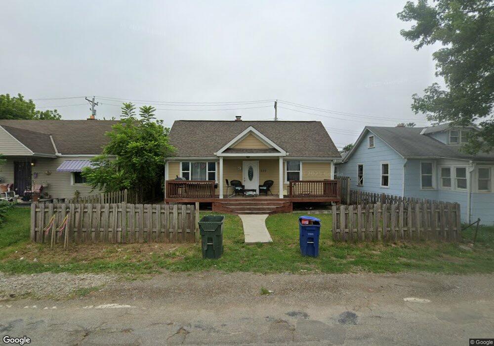
889 Barnett Rd Columbus, OH 43227
Eastmoor NeighborhoodEstimated Value: $132,000 - $156,000
3
Beds
1
Bath
1,044
Sq Ft
$140/Sq Ft
Est. Value
About This Home
This home is located at 889 Barnett Rd, Columbus, OH 43227 and is currently estimated at $145,959, approximately $139 per square foot. 889 Barnett Rd is a home located in Franklin County with nearby schools including Fairmoor Elementary School, Johnson Park Middle School, and Walnut Ridge High School.
Ownership History
Date
Name
Owned For
Owner Type
Purchase Details
Closed on
Dec 18, 2017
Sold by
Anderson Edward N
Bought by
Beasley Cecilia Galindo
Current Estimated Value
Purchase Details
Closed on
Feb 27, 2002
Sold by
Beneficial Mtg Co Of Ohio
Bought by
Anderson Edward N
Home Financials for this Owner
Home Financials are based on the most recent Mortgage that was taken out on this home.
Original Mortgage
$31,500
Interest Rate
7.11%
Purchase Details
Closed on
Aug 30, 2001
Sold by
Defrank Daniel L
Bought by
Beneficial Mtg Co Of Ohio
Purchase Details
Closed on
Aug 23, 2001
Sold by
Defrank Leona K
Bought by
Beneficial Mtg Co Of Ohio
Purchase Details
Closed on
Jun 10, 1970
Bought by
Defrank Daniel L
Create a Home Valuation Report for This Property
The Home Valuation Report is an in-depth analysis detailing your home's value as well as a comparison with similar homes in the area
Home Values in the Area
Average Home Value in this Area
Purchase History
We collect this data history from publicly available records. To have your information removed, we recommend requesting removal directly through your county’s website.
| Date | Buyer | Sale Price | Title Company |
|---|---|---|---|
| Beasley Cecilia Galindo | $15,000 | None Available | |
| Anderson Edward N | $40,000 | -- | |
| Beneficial Mtg Co Of Ohio | -- | Foundation Title Agency Inc | |
| Beneficial Mtg Co Of Ohio | -- | Foundation Title Agency Inc | |
| Defrank Daniel L | -- | -- |
Source: Public Records
Mortgage History
We collect this data history from publicly available records. To have your information removed, we recommend requesting removal directly through your county’s website.
| Date | Status | Borrower | Loan Amount |
|---|---|---|---|
| Previous Owner | Anderson Edward N | $31,500 |
Source: Public Records
Tax History
| Year | Tax Paid | Tax Assessment Tax Assessment Total Assessment is a certain percentage of the fair market value that is determined by local assessors to be the total taxable value of land and additions on the property. | Land | Improvement |
|---|---|---|---|---|
| 2025 | $2,075 | $46,240 | $10,610 | $35,630 |
| 2024 | $2,075 | $46,240 | $10,610 | $35,630 |
| 2023 | $2,049 | $46,235 | $10,605 | $35,630 |
| 2022 | $1,038 | $20,020 | $4,760 | $15,260 |
| 2021 | $1,040 | $20,020 | $4,760 | $15,260 |
| 2020 | $1,042 | $20,020 | $4,760 | $15,260 |
| 2019 | $1,011 | $16,670 | $3,960 | $12,710 |
| 2018 | $481 | $16,670 | $3,960 | $12,710 |
| 2017 | $506 | $16,670 | $3,960 | $12,710 |
| 2016 | $531 | $16,770 | $2,700 | $14,070 |
| 2015 | $482 | $16,770 | $2,700 | $14,070 |
| 2014 | $483 | $16,770 | $2,700 | $14,070 |
| 2013 | $294 | $18,620 | $2,975 | $15,645 |
Source: Public Records
Map
Nearby Homes
- 883 Barnett Rd
- 0 Ruby Ave
- 821 Ruby Ave
- 967 Ruby Ave
- 891 S Weyant Ave Unit 895
- 806 S Hampton Rd
- 845 S Hampton Rd
- 916 S Hampton Rd
- 897 S Hampton Rd
- 771 S Hampton Rd
- 720 S Hampton Rd
- 3285 Towers Ct S
- 3598 Astor Ave
- 691 S Hampton Rd
- 824 S Ashburton Rd
- 669 S Hampton Rd
- 3608 Bolton Ave
- 1057 S Hampton Rd
- 588 S Waverly St
- 600 S Hampton Rd
Your Personal Tour Guide
Ask me questions while you tour the home.