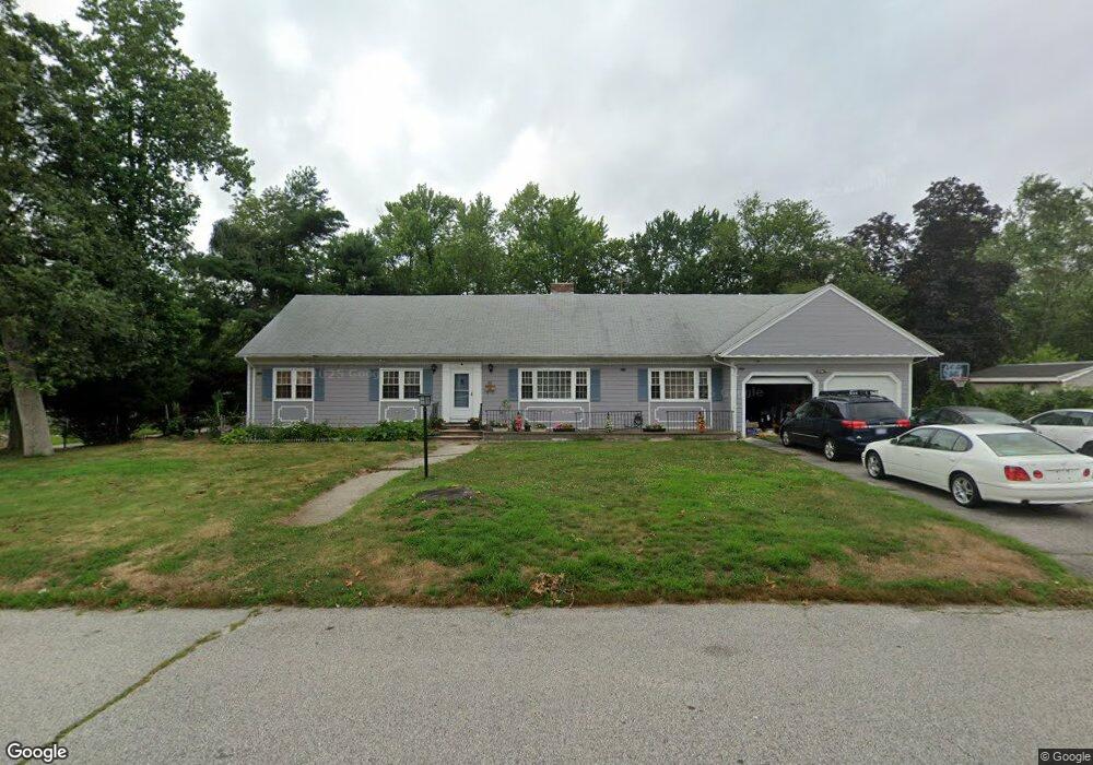
89 Aberdeen Ave Warwick, RI 02888
Palace Garden NeighborhoodEstimated Value: $634,000 - $851,000
4
Beds
4
Baths
2,512
Sq Ft
$300/Sq Ft
Est. Value
About This Home
This home is located at 89 Aberdeen Ave, Warwick, RI 02888 and is currently estimated at $753,453, approximately $299 per square foot. 89 Aberdeen Ave is a home located in Kent County with nearby schools including St. Peter School and Saint Paul School.
Ownership History
Date
Name
Owned For
Owner Type
Purchase Details
Closed on
Aug 7, 2009
Sold by
Thao Pao and Thao Payly
Bought by
Thao Pao
Current Estimated Value
Purchase Details
Closed on
Oct 2, 1995
Sold by
Polito Anthony V and Polito Virginia
Bought by
Thao Pao and Thao Payly
Home Financials for this Owner
Home Financials are based on the most recent Mortgage that was taken out on this home.
Original Mortgage
$155,400
Interest Rate
7.89%
Mortgage Type
Purchase Money Mortgage
Create a Home Valuation Report for This Property
The Home Valuation Report is an in-depth analysis detailing your home's value as well as a comparison with similar homes in the area
Home Values in the Area
Average Home Value in this Area
Purchase History
We collect this data history from publicly available records. To have your information removed, we recommend requesting removal directly through your county’s website.
| Date | Buyer | Sale Price | Title Company |
|---|---|---|---|
| Thao Pao | -- | -- | |
| Thao Pao | $160,000 | -- |
Source: Public Records
Mortgage History
We collect this data history from publicly available records. To have your information removed, we recommend requesting removal directly through your county’s website.
| Date | Status | Borrower | Loan Amount |
|---|---|---|---|
| Open | Thao Pao | $34,515 | |
| Previous Owner | Thao Pao | $155,400 |
Source: Public Records
Tax History
| Year | Tax Paid | Tax Assessment Tax Assessment Total Assessment is a certain percentage of the fair market value that is determined by local assessors to be the total taxable value of land and additions on the property. | Land | Improvement |
|---|---|---|---|---|
| 2025 | $7,925 | $624,000 | $138,300 | $485,700 |
| 2024 | $7,801 | $539,100 | $120,100 | $419,000 |
| 2023 | $7,650 | $539,100 | $120,100 | $419,000 |
| 2022 | $7,441 | $397,300 | $86,600 | $310,700 |
| 2021 | $7,441 | $397,300 | $86,600 | $310,700 |
| 2020 | $7,441 | $397,300 | $86,600 | $310,700 |
| 2019 | $7,441 | $397,300 | $86,600 | $310,700 |
| 2018 | $7,756 | $372,900 | $98,700 | $274,200 |
| 2017 | $7,547 | $372,900 | $98,700 | $274,200 |
| 2016 | $7,547 | $372,900 | $98,700 | $274,200 |
| 2015 | $6,557 | $316,000 | $79,700 | $236,300 |
| 2014 | $6,339 | $316,000 | $79,700 | $236,300 |
| 2013 | $6,254 | $316,000 | $79,700 | $236,300 |
Source: Public Records
Map
Nearby Homes
- 48 Barker St
- 56 Star St
- 175 Monroe St
- 5 Thayer Place
- 25 Oakdale St
- 281 Spring Green Rd
- 56 Errol St
- 34 N Country Club Dr
- 31 Errol St
- 96 Abbey Ave
- 52 Pleasant View Rd
- 152 Audubon Rd
- 287 Parkside Dr
- 14 Black Creek Ln
- 110 Pilgrim Pkwy Unit 11
- 161 Adams St
- 130 Pilgrim Pkwy Unit 5
- 45 Winthrop Rd
- 15 Christopher Rhodes Way
- 6 Christopher Rhodes Way
Your Personal Tour Guide
Ask me questions while you tour the home.