89 Williams Ln Shell Knob, MO 65747
Estimated Value: $454,950 - $588,000
3
Beds
3
Baths
3,340
Sq Ft
$150/Sq Ft
Est. Value
About This Home
This home is located at 89 Williams Ln, Shell Knob, MO 65747 and is currently estimated at $500,317, approximately $149 per square foot. 89 Williams Ln is a home located in Stone County with nearby schools including Shell Knob Elementary School.
Ownership History
Date
Name
Owned For
Owner Type
Purchase Details
Closed on
Apr 19, 2016
Sold by
Reed Harry M and Reed Dorothy J
Bought by
Lea Richard Allen and Lea Patricia Marie
Current Estimated Value
Home Financials for this Owner
Home Financials are based on the most recent Mortgage that was taken out on this home.
Original Mortgage
$450,000
Interest Rate
3.73%
Mortgage Type
Future Advance Clause Open End Mortgage
Create a Home Valuation Report for This Property
The Home Valuation Report is an in-depth analysis detailing your home's value as well as a comparison with similar homes in the area
Purchase History
| Date | Buyer | Sale Price | Title Company |
|---|---|---|---|
| Lea Richard Allen | -- | None Available |
Source: Public Records
Mortgage History
| Date | Status | Borrower | Loan Amount |
|---|---|---|---|
| Closed | Lea Richard Allen | $450,000 |
Source: Public Records
Tax History
| Year | Tax Paid | Tax Assessment Tax Assessment Total Assessment is a certain percentage of the fair market value that is determined by local assessors to be the total taxable value of land and additions on the property. | Land | Improvement |
|---|---|---|---|---|
| 2025 | $1,094 | $23,350 | -- | -- |
| 2024 | $1,098 | $23,290 | -- | -- |
| 2023 | $1,098 | $23,410 | $0 | $0 |
| 2022 | $1,092 | $23,410 | $0 | $0 |
| 2021 | $1,106 | $23,410 | $0 | $0 |
| 2020 | $1,085 | $22,360 | $0 | $0 |
| 2019 | $1,084 | $22,360 | $0 | $0 |
| 2018 | $1,083 | $22,360 | $0 | $0 |
| 2017 | $947 | $22,360 | $0 | $0 |
| 2016 | $950 | $22,360 | $0 | $0 |
| 2015 | $952 | $22,570 | $0 | $0 |
| 2014 | $749 | $17,760 | $0 | $0 |
| 2012 | -- | $24,780 | $0 | $0 |
Source: Public Records
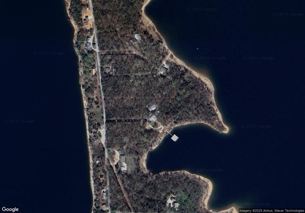
Map
Nearby Homes
- 000 Dry Run Rd
- 103 Rustic Ridge Dr
- Lot 33 Eagles Point Ln
- 365 Green Cypress Ln
- 845 Alyeska Point Rd
- 457 Green Cypress Ln
- 253 Green Cypress Rd
- Lot 81 Green Cypress Ln
- Lot 82 Green Cypress Ln
- 20 Cedar Falls Rd
- 000 Falling Star Rd
- 105 Turtledove Ln
- 20-21-22 Cedar Falls Rd (Lots 20-21&22)
- 21-22
- Lot 4 Lake Ridge
- Tbd Alyeska Point Rd
- 435 Schodack Rd
- 310 Cedar Bend Rd
- 56 N Fork Ln
- Lot 9 Southwood
- 105 Lea Ln
- Lot 2a Lea Ln
- 3382 Peninsula Dr
- 3507 Peninsula Dr
- 3576 Peninsula Dr
- 3395 Peninsula Dr
- 3335 Peninsula Dr
- 3666 Peninsula Dr
- 3593 Peninsula Dr
- 3182 Peninsula Dr
- 3689 Peninsula Dr
- 3894 Peninsula Dr
- 74 Lake Lange Rd
- 2978 Peninsula Dr
- 2948 Peninsula Dr
- 3986 Peninsula Dr
- 168 Jesse Ln
- 164 Jesse Ln
- 146 Jesse Ln
- 169 Jesse Ln
Your Personal Tour Guide
Ask me questions while you tour the home.