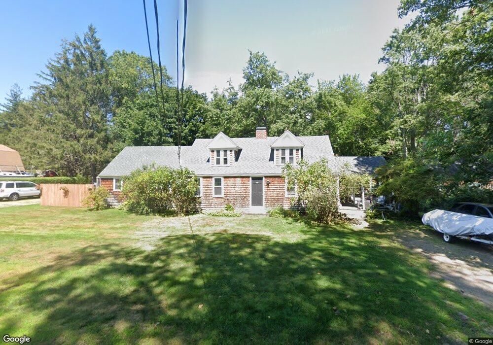
892 Main St Unit B Eliot, ME 03903
South Eliot NeighborhoodEstimated Value: $414,093 - $627,000
2
Beds
2
Baths
1,300
Sq Ft
$391/Sq Ft
Est. Value
About This Home
This home is located at 892 Main St Unit B, Eliot, ME 03903 and is currently estimated at $508,273, approximately $390 per square foot. 892 Main St Unit B is a home located in York County with nearby schools including Marshwood High School and Seacoast Waldorf School.
Create a Home Valuation Report for This Property
The Home Valuation Report is an in-depth analysis detailing your home's value as well as a comparison with similar homes in the area
Home Values in the Area
Average Home Value in this Area
Tax History
| Year | Tax Paid | Tax Assessment Tax Assessment Total Assessment is a certain percentage of the fair market value that is determined by local assessors to be the total taxable value of land and additions on the property. | Land | Improvement |
|---|---|---|---|---|
| 2025 | $3,560 | $316,400 | $154,000 | $162,400 |
| 2024 | $3,585 | $302,500 | $140,100 | $162,400 |
| 2023 | $3,535 | $288,600 | $133,700 | $154,900 |
| 2022 | $3,491 | $288,500 | $133,700 | $154,800 |
| 2021 | $3,649 | $270,300 | $123,000 | $147,300 |
| 2020 | $17,965 | $249,300 | $117,700 | $131,600 |
| 2019 | $3,665 | $249,300 | $117,700 | $131,600 |
| 2018 | $3,665 | $249,300 | $117,700 | $131,600 |
| 2017 | $16,411 | $249,300 | $117,700 | $131,600 |
| 2016 | $16,169 | $249,300 | $117,700 | $131,600 |
| 2015 | $3,490 | $249,300 | $117,700 | $131,600 |
| 2014 | $3,440 | $249,300 | $117,700 | $131,600 |
| 2013 | $3,283 | $249,300 | $117,700 | $131,600 |
Source: Public Records
Map
Nearby Homes
- 18 Shipping Ln
- 1232 State Rd
- 60 Pine Hill Rd S Unit 315
- 60 Pine Hill Rd S Unit 318
- 1092 State Rd
- 1088 State Rd
- 0 Franks Fort Island Unit 1650383
- 46 Caslyn Dr
- 64 Village Dr Unit 23
- 16 Pheasant Ln Unit 28
- 4 Spring Ln
- 11 Carriage Hill Rd Unit B
- 315 Oriental Gardens
- 222 River Rd
- 9 Roseberry Ln
- 187 Raleigh Way
- 47 Concord Way
- 10 Bayview Ln
- 9 Falkland Place Unit A3
- 24 Andrews Ln
Your Personal Tour Guide
Ask me questions while you tour the home.