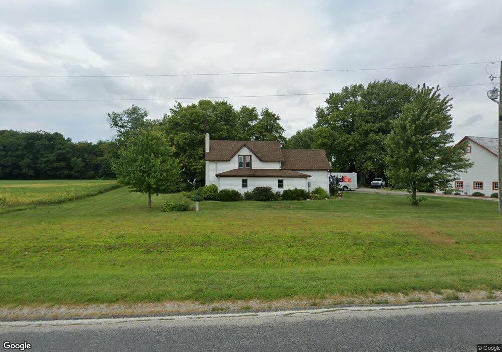
8926 Grant Rd Battle Ground, IN 47920
Estimated Value: $231,064 - $386,000
Studio
--
Bath
2,430
Sq Ft
$129/Sq Ft
Est. Value
About This Home
This home is located at 8926 Grant Rd, Battle Ground, IN 47920 and is currently estimated at $313,766, approximately $129 per square foot. 8926 Grant Rd is a home located in Tippecanoe County with nearby schools including Battle Ground Elementary School, Battle Ground Middle School, and William Henry Harrison High School.
Ownership History
Date
Name
Owned For
Owner Type
Purchase Details
Closed on
May 22, 2024
Sold by
Perdue Terry R and Perdue Tammy R
Bought by
Brown Samuel J and Brown Martha A
Current Estimated Value
Purchase Details
Closed on
May 21, 2024
Sold by
Brown Samuel J and Brown Martha A
Bought by
Perdue Terry R and Perdue Tammy R
Purchase Details
Closed on
Aug 10, 2022
Sold by
Perdue Terry R and Perdue Tammy R
Bought by
Terry And Tammy Perdue Family Trust and Ordille
Create a Home Valuation Report for This Property
The Home Valuation Report is an in-depth analysis detailing your home's value as well as a comparison with similar homes in the area
Purchase History
| Date | Buyer | Sale Price | Title Company |
|---|---|---|---|
| Brown Samuel J | -- | None Listed On Document | |
| Perdue Terry R | -- | None Listed On Document | |
| Terry And Tammy Perdue Family Trust | -- | None Listed On Document |
Source: Public Records
Tax History
| Year | Tax Paid | Tax Assessment Tax Assessment Total Assessment is a certain percentage of the fair market value that is determined by local assessors to be the total taxable value of land and additions on the property. | Land | Improvement |
|---|---|---|---|---|
| 2025 | $1,079 | $283,000 | $64,800 | $218,200 |
| 2024 | $1,079 | $172,600 | $28,600 | $144,000 |
| 2023 | $1,043 | $167,100 | $28,600 | $138,500 |
| 2022 | $957 | $144,300 | $28,600 | $115,700 |
| 2021 | $827 | $128,600 | $28,600 | $100,000 |
| 2020 | $732 | $121,300 | $28,600 | $92,700 |
| 2019 | $698 | $117,700 | $28,600 | $89,100 |
| 2018 | $674 | $116,500 | $28,600 | $87,900 |
| 2017 | $654 | $113,600 | $28,600 | $85,000 |
| 2016 | $632 | $111,500 | $28,600 | $82,900 |
| 2014 | $378 | $86,600 | $28,600 | $58,000 |
| 2013 | $407 | $87,800 | $28,600 | $59,200 |
Source: Public Records
Map
Nearby Homes
- 7650 Summit Ln
- 8277 Timber Ln
- 1579 W Herring Way
- 7201 Indian Mound Trail
- 11751 S Springboro Rd
- 9120 Herring Ln
- 9170 Herring Ln
- 7020 Virginia St
- 10036 Carney St
- 1578 W Herring Way Rd
- 35 Pond View Dr
- 3426 N Charlais Cir
- 11503 W Tecumseh Bend Rd
- 1158 N Deer Meadows Rd
- 9331 W 310 N
- 5845 Huston Rd
- 145 Tomahawk Ln
- 5335 Stair Rd
- 215 Jefferson St
- 102 High School Ave
- 8778 Grant Rd
- 8736 Grant Rd
- 8947 Grant Rd
- 8724 Grant Rd
- 9224 Grant Rd
- 9120 Grant Rd
- 7500 Pretty Prairie Rd
- 8635 Grant Rd
- 9030 Grant Rd
- 7501 Pretty Prairie Rd
- 8564 Grant Rd
- 9444 Grant Rd
- 9020 Grant Rd
- 8407 Grant Rd
- 7488 Goldsberry Rd
- 7491 Goldsberry Rd
- 8315 Grant Rd
- 7114 Pretty Prairie Rd
- 7400 Goldsberry Rd
- 8311 Grant Rd
Your Personal Tour Guide
Ask me questions while you tour the home.