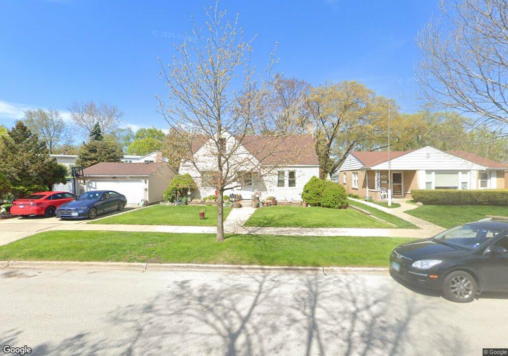
8926 Linder Ave Morton Grove, IL 60053
Estimated Value: $437,000 - $494,000
4
Beds
2
Baths
1,487
Sq Ft
$318/Sq Ft
Est. Value
About This Home
This home is located at 8926 Linder Ave, Morton Grove, IL 60053 and is currently estimated at $473,064, approximately $318 per square foot. 8926 Linder Ave is a home located in Cook County with nearby schools including Park View Elementary School, Niles West High School, and Arie Crown Hebrew Day School.
Ownership History
Date
Name
Owned For
Owner Type
Purchase Details
Closed on
May 27, 2010
Sold by
Majdanski Judy A
Bought by
Esquivel Armando
Current Estimated Value
Home Financials for this Owner
Home Financials are based on the most recent Mortgage that was taken out on this home.
Original Mortgage
$180,000
Outstanding Balance
$119,249
Interest Rate
5.05%
Mortgage Type
Unknown
Estimated Equity
$353,815
Create a Home Valuation Report for This Property
The Home Valuation Report is an in-depth analysis detailing your home's value as well as a comparison with similar homes in the area
Home Values in the Area
Average Home Value in this Area
Purchase History
| Date | Buyer | Sale Price | Title Company |
|---|---|---|---|
| Esquivel Armando | $225,000 | Attorneys Title Guaranty Fun |
Source: Public Records
Mortgage History
| Date | Status | Borrower | Loan Amount |
|---|---|---|---|
| Open | Esquivel Armando | $180,000 |
Source: Public Records
Tax History
| Year | Tax Paid | Tax Assessment Tax Assessment Total Assessment is a certain percentage of the fair market value that is determined by local assessors to be the total taxable value of land and additions on the property. | Land | Improvement |
|---|---|---|---|---|
| 2025 | $10,018 | $38,000 | $9,545 | $28,455 |
| 2024 | $10,018 | $38,000 | $8,005 | $29,995 |
| 2023 | $9,516 | $38,000 | $8,005 | $29,995 |
| 2022 | $9,516 | $38,000 | $8,005 | $29,995 |
| 2021 | $7,372 | $26,314 | $4,926 | $21,388 |
| 2020 | $7,247 | $26,314 | $4,926 | $21,388 |
| 2019 | $7,318 | $29,567 | $4,926 | $24,641 |
| 2018 | $8,305 | $29,756 | $4,464 | $25,292 |
| 2017 | $8,386 | $29,756 | $4,464 | $25,292 |
| 2016 | $8,168 | $29,756 | $4,464 | $25,292 |
| 2015 | $8,180 | $28,008 | $3,848 | $24,160 |
| 2014 | $8,189 | $28,008 | $3,848 | $24,160 |
| 2013 | $7,983 | $28,008 | $3,848 | $24,160 |
Source: Public Records
Map
Nearby Homes
- 8912 Harms Rd
- 5536 Greenwood St
- 8922 Parkside Ave
- 9017 Major Ave
- 9041 Major Ave
- 5310 Davis St
- 8708 Central Ave
- 8926 Menard Ave
- 8646 Harms Rd
- 5714 Crain St
- 9023 Marmora Ave
- 5341 Greenleaf St
- 5237 Conrad St
- 5738 Lyons St
- 5133 Carol St
- 8541 Lotus Ave Unit 712
- 5251 Greenleaf St
- 5510 Lincoln Ave Unit B101
- 5510 Lincoln Ave Unit B205
- 5506 Lincoln Ave Unit A511
- 8932 Linder Ave
- 8932 Linder Ave
- 8921 Harms Rd
- 8925 Harms Rd
- 8919 Harms Rd
- 8936 Linder Ave
- 8936 Linder Ave
- 8929 Harms Rd
- 5458 Suffield Ct
- 8909 Harms Rd
- 8938 Linder Ave
- 8933 Harms Rd
- 5454 Suffield Ct
- 8940 Linder Ave
- 8940 Linder Ave
- 5455 Suffield Ct
- 8935 Harms Rd
- 5450 Suffield Ct
- 8901 Harms Rd
- 5451 Suffield Ct
Your Personal Tour Guide
Ask me questions while you tour the home.