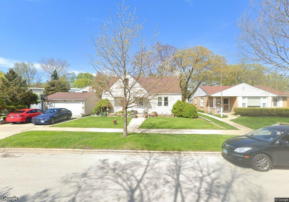
8926 Linder Ave Morton Grove, IL 60053
Estimated Value: $439,000 - $520,000
About This Home
This home is located at 8926 Linder Ave, Morton Grove, IL 60053 and is currently estimated at $486,608, approximately $327 per square foot. 8926 Linder Ave is a home located in Cook County with nearby schools including Park View Elementary School, Niles West High School, and Arie Crown Hebrew Day School.
Ownership History
We collect this data history from publicly available records. To have your information removed, we recommend requesting removal directly through your county’s website.
Purchase Details
Home Financials for this Owner
Home Financials are based on the most recent Mortgage that was taken out on this home.Home Values in the Area
Average Home Value in this Area
Purchase History
We collect this data history from publicly available records. To have your information removed, we recommend requesting removal directly through your county’s website.
| Date | Buyer | Sale Price | Title Company |
|---|---|---|---|
| $225,000 | Attorneys Title Guaranty Fun |
Mortgage History
We collect this data history from publicly available records. To have your information removed, we recommend requesting removal directly through your county’s website.
| Date | Status | Borrower | Loan Amount |
|---|---|---|---|
| Open | $180,000 |
Tax History
We collect this data history from publicly available records. To have your information removed, we recommend requesting removal directly through your county’s website.
| Year | Tax Paid | Tax Assessment Tax Assessment Total Assessment is a certain percentage of the fair market value that is determined by local assessors to be the total taxable value of land and additions on the property. | Land | Improvement |
|---|---|---|---|---|
| 2025 | $10,018 | $38,000 | $9,545 | $28,455 |
| 2024 | $10,018 | $38,000 | $8,005 | $29,995 |
| 2023 | $9,516 | $38,000 | $8,005 | $29,995 |
| 2022 | $9,516 | $38,000 | $8,005 | $29,995 |
| 2021 | $7,372 | $26,314 | $4,926 | $21,388 |
| 2020 | $7,247 | $26,314 | $4,926 | $21,388 |
| 2019 | $7,318 | $29,567 | $4,926 | $24,641 |
| 2018 | $8,305 | $29,756 | $4,464 | $25,292 |
| 2017 | $8,386 | $29,756 | $4,464 | $25,292 |
| 2016 | $8,168 | $29,756 | $4,464 | $25,292 |
| 2015 | $8,180 | $28,008 | $3,848 | $24,160 |
| 2014 | $8,189 | $28,008 | $3,848 | $24,160 |
| 2013 | $7,983 | $28,008 | $3,848 | $24,160 |
Map
- 8912 Harms Rd
- 5536 Greenwood St
- 9041 Major Ave
- 5255 Suffield Terrace
- 9137 Central Ave
- 5232 Greenwood St
- 8708 Central Ave
- 8646 Harms Rd
- 8837 Menard Ave
- 9234 Linder Ave
- 5313 Crain St
- 5216 Arcadia St
- 9300 Lorel Ave
- 5133 Carol St
- 5129 Crain St
- 5832 Capulina Ave
- 5510 Lincoln Ave Unit B205
- 5506 Lincoln Ave Unit A521
- 5506 Lincoln Ave Unit A511
- 9035 Austin Ave
- 8932 Linder Ave
- 8932 Linder Ave
- 8921 Harms Rd
- 8925 Harms Rd
- 8919 Harms Rd
- 8929 Harms Rd
- 8936 Linder Ave
- 8936 Linder Ave
- 5458 Suffield Ct
- 8909 Harms Rd
- 8938 Linder Ave
- 8933 Harms Rd
- 5454 Suffield Ct
- 8940 Linder Ave
- 8940 Linder Ave
- 5455 Suffield Ct
- 8935 Harms Rd
- 5450 Suffield Ct
- 8901 Harms Rd
- 5451 Suffield Ct
Ask me questions while you tour the home.