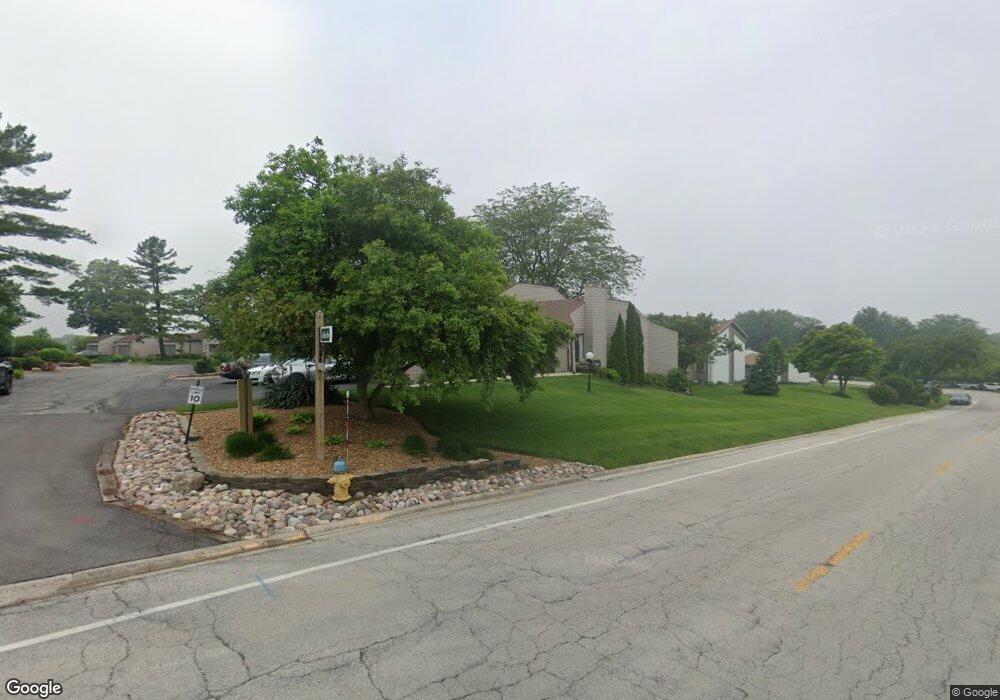
893 La Pointe Dr Bourbonnais, IL 60914
Estimated Value: $228,000 - $311,000
3
Beds
3
Baths
2,076
Sq Ft
$129/Sq Ft
Est. Value
About This Home
This home is located at 893 La Pointe Dr, Bourbonnais, IL 60914 and is currently estimated at $268,156, approximately $129 per square foot. 893 La Pointe Dr is a home located in Kankakee County with nearby schools including Alan B. Shepard Elementary School, Liberty Intermediate School, and Bourbonnais Upper Grade Center.
Ownership History
Date
Name
Owned For
Owner Type
Purchase Details
Closed on
Aug 6, 2020
Sold by
Trust Number 2397
Bought by
Reeths Karen A
Current Estimated Value
Home Financials for this Owner
Home Financials are based on the most recent Mortgage that was taken out on this home.
Original Mortgage
$160,050
Outstanding Balance
$141,976
Interest Rate
3%
Mortgage Type
New Conventional
Estimated Equity
$126,180
Purchase Details
Closed on
Aug 1, 2014
Sold by
Jensen Alan G and Jensen Amylee M
Bought by
Municipal Trust & Svgs Bk Tr 2397
Create a Home Valuation Report for This Property
The Home Valuation Report is an in-depth analysis detailing your home's value as well as a comparison with similar homes in the area
Home Values in the Area
Average Home Value in this Area
Purchase History
| Date | Buyer | Sale Price | Title Company |
|---|---|---|---|
| Reeths Karen A | $165,000 | Homestar Title | |
| Municipal Trust & Svgs Bk Tr 2397 | $166,600 | Standard Title |
Source: Public Records
Mortgage History
| Date | Status | Borrower | Loan Amount |
|---|---|---|---|
| Open | Reeths Karen A | $160,050 |
Source: Public Records
Tax History
| Year | Tax Paid | Tax Assessment Tax Assessment Total Assessment is a certain percentage of the fair market value that is determined by local assessors to be the total taxable value of land and additions on the property. | Land | Improvement |
|---|---|---|---|---|
| 2024 | $5,531 | $66,547 | $6,413 | $60,134 |
| 2023 | $5,088 | $61,618 | $5,938 | $55,680 |
| 2022 | $5,112 | $59,390 | $5,723 | $53,667 |
| 2021 | $5,031 | $58,083 | $5,597 | $52,486 |
| 2020 | $4,994 | $56,528 | $5,447 | $51,081 |
| 2019 | $4,901 | $54,881 | $5,288 | $49,593 |
| 2018 | $4,844 | $54,070 | $5,210 | $48,860 |
| 2017 | $4,758 | $52,751 | $5,083 | $47,668 |
| 2016 | $4,734 | $52,588 | $5,008 | $47,580 |
| 2015 | $4,417 | $48,451 | $4,059 | $44,392 |
| 2014 | $3,654 | $48,451 | $4,059 | $44,392 |
| 2013 | -- | $44,702 | $4,059 | $40,643 |
Source: Public Records
Map
Nearby Homes
- 248 Fox Trail Dr
- 738 River Place Dr
- 691 W River St
- lot Briarcliff Ln
- 754 River Place Dr
- 321 Windermere Way
- 1905 Indian Trail
- 2008 Indian Trail
- 1268 Deer Path
- 1240 Plum Creek Dr
- 1520 Southhampton Dr
- 1380 Sommerset Way
- 284 Barrington Ln
- 1785 Indian Trail
- Lot 5/5A Almar Pkwy
- 310 Barrington Dr
- 1617 Waterford Place
- 1402 Indian Trail
- 1420 Indian Trail
- 1418 Indian Trail
- 899 La Pointe Dr
- 887 La Pointe Dr
- 881 La Pointe Dr
- 881 La Pointe Dr Unit 881
- 16 Briarcliff Ct
- 15 Briarcliff Ct
- 14 Briarcliff Ct
- 896 La Pointe Dr
- 890 La Pointe Dr
- 884 La Pointe Dr
- 878 La Pointe Dr
- 890 Exeter Turn
- 875 La Pointe Dr
- 869 La Pointe Dr
- 13 Briarcliff Ct
- 12 Briarcliff Ct
- 11 Briarcliff Ct
- 10 Briarcliff Ct
- 12 Briarcliff Ct Unit 12
- 863 La Pointe Dr
Your Personal Tour Guide
Ask me questions while you tour the home.