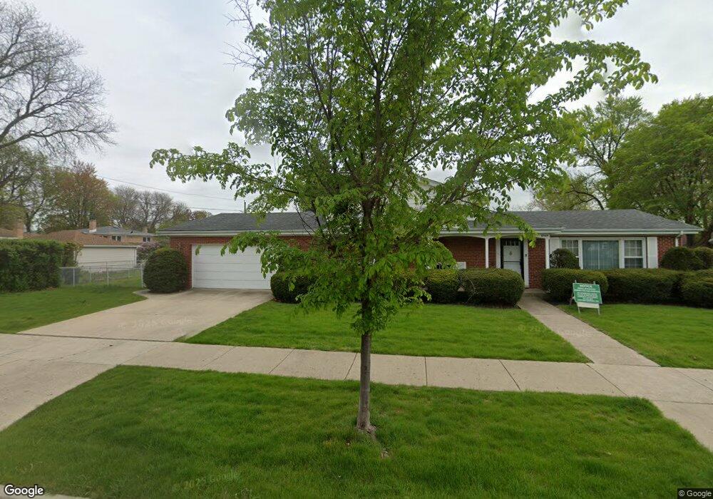
8945 Menard Ave Morton Grove, IL 60053
Estimated Value: $442,600 - $506,000
3
Beds
2
Baths
1,350
Sq Ft
$353/Sq Ft
Est. Value
About This Home
This home is located at 8945 Menard Ave, Morton Grove, IL 60053 and is currently estimated at $475,900, approximately $352 per square foot. 8945 Menard Ave is a home located in Cook County with nearby schools including Park View Elementary School and Niles West High School.
Ownership History
Date
Name
Owned For
Owner Type
Purchase Details
Closed on
Mar 30, 2021
Sold by
Helton Kimberly G and Helton Gregory W
Bought by
Helton Kimberly G and Helton Gregory W
Current Estimated Value
Purchase Details
Closed on
Jun 26, 1996
Sold by
First National Bank Of Morton Grove
Bought by
Helton Gregory W and Helton Kimberly G
Home Financials for this Owner
Home Financials are based on the most recent Mortgage that was taken out on this home.
Original Mortgage
$130,000
Interest Rate
8.13%
Mortgage Type
Balloon
Create a Home Valuation Report for This Property
The Home Valuation Report is an in-depth analysis detailing your home's value as well as a comparison with similar homes in the area
Home Values in the Area
Average Home Value in this Area
Purchase History
| Date | Buyer | Sale Price | Title Company |
|---|---|---|---|
| Helton Kimberly G | -- | Accommodation | |
| Helton Gregory W | $260,000 | Centennial Title Incorporate |
Source: Public Records
Mortgage History
| Date | Status | Borrower | Loan Amount |
|---|---|---|---|
| Closed | Helton Gregory W | $130,000 |
Source: Public Records
Tax History
| Year | Tax Paid | Tax Assessment Tax Assessment Total Assessment is a certain percentage of the fair market value that is determined by local assessors to be the total taxable value of land and additions on the property. | Land | Improvement |
|---|---|---|---|---|
| 2025 | $5,583 | $25,306 | $8,012 | $17,294 |
| 2024 | $5,583 | $20,987 | $6,720 | $14,267 |
| 2023 | $5,305 | $20,987 | $6,720 | $14,267 |
| 2022 | $5,305 | $20,987 | $6,720 | $14,267 |
| 2021 | $4,236 | $14,872 | $4,135 | $10,737 |
| 2020 | $4,159 | $14,872 | $4,135 | $10,737 |
| 2019 | $4,179 | $16,641 | $4,135 | $12,506 |
| 2018 | $4,567 | $16,192 | $3,747 | $12,445 |
| 2017 | $4,611 | $16,192 | $3,747 | $12,445 |
| 2016 | $4,478 | $16,192 | $3,747 | $12,445 |
| 2015 | $4,109 | $14,063 | $3,230 | $10,833 |
| 2014 | $4,114 | $14,063 | $3,230 | $10,833 |
| 2013 | $4,010 | $14,063 | $3,230 | $10,833 |
Source: Public Records
Map
Nearby Homes
- 8926 Menard Ave
- 9041 Major Ave
- 9035 Austin Ave
- 5536 Greenwood St
- 8846 Austin Ave
- 8912 Harms Rd
- 8708 Central Ave
- 5738 Lyons St
- 8646 Harms Rd
- 5844 Capri Ln
- 8511 Mango Ave
- 6034 Grove Ct
- 5232 Greenwood St
- 5510 Lincoln Ave Unit B101
- 5510 Lincoln Ave Unit B205
- 5506 Lincoln Ave Unit A521
- 5506 Lincoln Ave Unit A511
- 5506 Lincoln Ave Unit A316
- 5500 Lincoln Ave Unit 507W
- 5500 Lincoln Ave Unit 201W
- 8945 Menard Ave
- 8939 Menard Ave
- 8927 Menard Ave
- 8940 Mango Ave
- 8944 Mango Ave
- 8936 Mango Ave
- 9001 Menard Ave
- 8932 Mango Ave
- 8948 Menard Ave
- 8942 Menard Ave
- 8925 Menard Ave
- 8928 Mango Ave
- 8938 Menard Ave
- 9000 Mango Ave
- 9000 Mango Ave
- 9009 Menard Ave
- 8930 Menard Ave
- 8930 Menard Ave
- 9006 Mango Ave
- 8926 Mango Ave
Your Personal Tour Guide
Ask me questions while you tour the home.