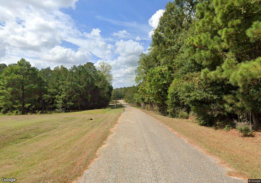
895 Doe Run Dr Newton, AL 36352
Estimated Value: $386,000 - $467,000
About This Home
This home is located at 895 Doe Run Dr, Newton, AL 36352 and is currently estimated at $439,257, approximately $126 per square foot. 895 Doe Run Dr is a home located in Dale County.
Ownership History
We collect this data history from publicly available records. To have your information removed, we recommend requesting removal directly through your county’s website.
Purchase Details
Home Financials for this Owner
Home Financials are based on the most recent Mortgage that was taken out on this home.Purchase Details
Purchase History
We collect this data history from publicly available records. To have your information removed, we recommend requesting removal directly through your county’s website.
| Date | Buyer | Sale Price | Title Company |
|---|---|---|---|
| $430,000 | None Listed On Document | ||
| $350,000 | None Available |
Mortgage History
We collect this data history from publicly available records. To have your information removed, we recommend requesting removal directly through your county’s website.
| Date | Status | Borrower | Loan Amount |
|---|---|---|---|
| Open | $340,000 |
Tax History
We collect this data history from publicly available records. To have your information removed, we recommend requesting removal directly through your county’s website.
| Year | Tax Paid | Tax Assessment Tax Assessment Total Assessment is a certain percentage of the fair market value that is determined by local assessors to be the total taxable value of land and additions on the property. | Land | Improvement |
|---|---|---|---|---|
| 2025 | $1,479 | $47,520 | $4,180 | $43,340 |
| 2024 | $1,479 | $49,180 | $3,600 | $45,580 |
| 2023 | $1,476 | $43,140 | $3,040 | $40,100 |
| 2022 | $1,176 | $39,360 | $9,420 | $29,940 |
| 2021 | $1,033 | $34,640 | $2,560 | $32,080 |
| 2020 | $1,033 | $34,640 | $2,560 | $32,080 |
| 2019 | $1,033 | $34,640 | $2,560 | $32,080 |
| 2018 | $0 | $36,300 | $2,440 | $33,860 |
| 2017 | $0 | $37,100 | $2,360 | $34,740 |
| 2016 | $0 | $35,760 | $2,360 | $33,400 |
| 2015 | $1,091 | $35,760 | $2,360 | $33,400 |
| 2014 | -- | $35,180 | $2,360 | $32,820 |
| 2013 | -- | $36,220 | $2,360 | $33,860 |
Map
- 994 Doe Run Dr
- 572 Doe Run Dr
- 0 Holmes Rd
- 2949 Holland Rd
- 3117 Holland Rd
- 0 St Hwy 123
- 0 St Hwy 123
- 360 Sherwood Trail
- 680 Pine Acres Dr
- 1601 Spring St
- 797 Judge Logue Rd
- 2653 Judge Logue Rd
- 1048 Hubbard Rd
- 68 Thomley Rd
- 2 Power Dam Rd
- 0 Hwy 123 & Co Rd 30
- 105 Magnolia Ln
- 1.0 acre Hollis Dairy Road Lot 3
- 1.0 acre Hollis Dairy Rd Lot 1
- 1.0 acre Hollis Dairy Rd Lot 2
Ask me questions while you tour the home.