Estimated Value: $60,722 - $132,000
1
Bed
1
Bath
416
Sq Ft
$232/Sq Ft
Est. Value
About This Home
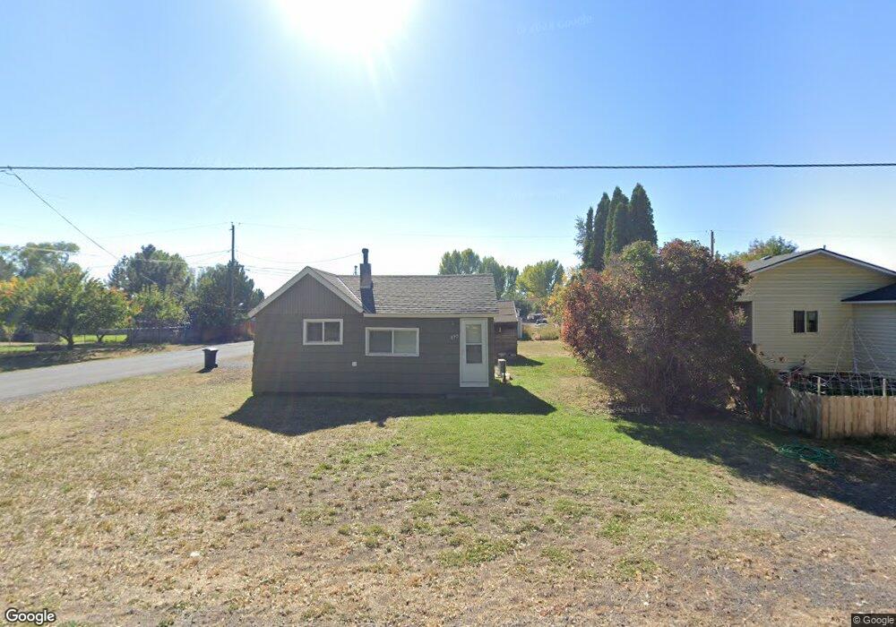
This home is located at 895 E Adams St, Burns, OR 97720 and is currently estimated at $96,361, approximately $231 per square foot. 895 E Adams St is a home located in Harney County with nearby schools including Henry L. Slater Elementary School, Hines Middle School, and Burns High School.
Ownership History
Date
Name
Owned For
Owner Type
Purchase Details
Closed on
Sep 10, 2025
Sold by
Arntz David W and Arntz Leonard J
Bought by
Yeager Jay and Yeager Jana
Current Estimated Value
Purchase Details
Closed on
Sep 9, 2025
Sold by
Arntz Eric James
Bought by
Yeager Jay and Yeager Jana
Purchase Details
Closed on
Jul 2, 2024
Sold by
Ohlund Susan
Bought by
Yeager Jay and Matteson Jana
Purchase Details
Closed on
Sep 19, 2022
Sold by
Henson Jeremy
Bought by
Tribe Burns Paiute
Purchase Details
Closed on
Jul 17, 2015
Sold by
Katz Harris
Bought by
Henson Jeremy and Henson Stacey
Purchase Details
Closed on
Aug 29, 2006
Sold by
Williams Raymond L and Williams Theresa A
Bought by
Katz Harris
Create a Home Valuation Report for This Property
The Home Valuation Report is an in-depth analysis detailing your home's value as well as a comparison with similar homes in the area
Home Values in the Area
Average Home Value in this Area
Purchase History
| Date | Buyer | Sale Price | Title Company |
|---|---|---|---|
| Yeager Jay | $195,000 | Amerititle | |
| Yeager Jay | -- | Amerititle | |
| Yeager Jay | $295,000 | Amerititle | |
| Tribe Burns Paiute | $55,000 | Amerititle | |
| Henson Jeremy | $23,000 | Amerititle | |
| Katz Harris | $25,000 | None Available |
Source: Public Records
Tax History
| Year | Tax Paid | Tax Assessment Tax Assessment Total Assessment is a certain percentage of the fair market value that is determined by local assessors to be the total taxable value of land and additions on the property. | Land | Improvement |
|---|---|---|---|---|
| 2025 | $525 | $30,020 | -- | -- |
| 2024 | $517 | $29,150 | -- | -- |
| 2023 | $517 | $28,310 | $0 | $0 |
| 2022 | $486 | $27,490 | $0 | $0 |
| 2021 | $473 | $26,690 | $0 | $0 |
| 2020 | $460 | $26,690 | $0 | $0 |
| 2019 | $445 | $25,170 | $0 | $0 |
Source: Public Records
Map
Nearby Homes
- 476 N Koa Ave
- 485 N Hemlock Ave
- 691 E Madison St
- 0 E Madison St
- TL 2100 Oregon 78
- 0 Oregon 78 Unit 220202796
- TL 400 Oregon 78
- TBD E Jefferson St
- 464 E Jefferson St
- 530 E Riverside Dr
- 242 E Madison St
- 111 E Railroad Ave
- Rhu- Red S Rd
- 444 N Broadway Ave
- 379 N Broadway Ave
- 100 W A St
- 1031 N Broadway Ave
- 776 N Alvord Ave
- 766 N Alvord Ave
- TBD Railroad Ave
- 875 E Adams St
- 911 E Adams St
- 892 E Adams St
- 933 E Adams St
- 831 E Adams St
- 928 E Jefferson St
- 840 E Adams St
- 811 E Adams St
- 940 E Jefferson St
- 790 E Jefferson St
- 955 E Adams St
- 812 E Adams St
- 950 E Adams St
- 803 E Jefferson St
- 952 E Jefferson St
- 987 E Adams St
- 105 N Ivy Ave
- 797 E Adams St
- 974 E Adams St
- 982 E Jefferson St
Your Personal Tour Guide
Ask me questions while you tour the home.