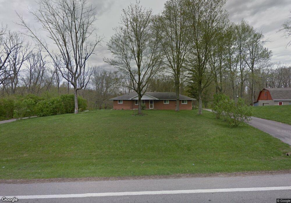
8956 S State Route 123 Blanchester, OH 45107
Estimated Value: $214,000 - $317,000
3
Beds
2
Baths
1,488
Sq Ft
$171/Sq Ft
Est. Value
About This Home
This home is located at 8956 S State Route 123, Blanchester, OH 45107 and is currently estimated at $255,000, approximately $171 per square foot. 8956 S State Route 123 is a home with nearby schools including Little Miami Early Childhood Center, Little Miami Intermediate Middle School, and Little Miami Middle School.
Ownership History
Date
Name
Owned For
Owner Type
Purchase Details
Closed on
Oct 20, 2005
Sold by
Jung John W
Bought by
Jung Timothy P
Current Estimated Value
Home Financials for this Owner
Home Financials are based on the most recent Mortgage that was taken out on this home.
Original Mortgage
$100,000
Interest Rate
5.89%
Mortgage Type
Purchase Money Mortgage
Create a Home Valuation Report for This Property
The Home Valuation Report is an in-depth analysis detailing your home's value as well as a comparison with similar homes in the area
Home Values in the Area
Average Home Value in this Area
Purchase History
We collect this data history from publicly available records. To have your information removed, we recommend requesting removal directly through your county’s website.
| Date | Buyer | Sale Price | Title Company |
|---|---|---|---|
| Jung Timothy P | $43,366 | Lighthouse Title Services | |
| Jung Timothy P | $43,333 | Lighthouse Title Services | |
| Jung Timothy P | $43,333 | Lighthouse Title Services |
Source: Public Records
Mortgage History
We collect this data history from publicly available records. To have your information removed, we recommend requesting removal directly through your county’s website.
| Date | Status | Borrower | Loan Amount |
|---|---|---|---|
| Previous Owner | Jung Timothy P | $100,000 |
Source: Public Records
Tax History
| Year | Tax Paid | Tax Assessment Tax Assessment Total Assessment is a certain percentage of the fair market value that is determined by local assessors to be the total taxable value of land and additions on the property. | Land | Improvement |
|---|---|---|---|---|
| 2025 | $1,954 | $67,220 | $22,890 | $44,330 |
| 2024 | $1,954 | $67,220 | $22,890 | $44,330 |
| 2023 | $1,580 | $52,139 | $12,652 | $39,487 |
| 2022 | $1,559 | $52,140 | $12,653 | $39,487 |
| 2021 | $1,490 | $52,140 | $12,653 | $39,487 |
| 2020 | $1,419 | $42,389 | $10,287 | $32,102 |
| 2019 | $1,470 | $42,389 | $10,287 | $32,102 |
| 2018 | $1,478 | $42,389 | $10,287 | $32,102 |
| 2017 | $1,351 | $37,954 | $9,454 | $28,501 |
| 2016 | $1,399 | $37,954 | $9,454 | $28,501 |
| 2015 | $1,399 | $37,954 | $9,454 | $28,501 |
| 2014 | $1,337 | $35,570 | $8,940 | $26,640 |
| 2013 | $1,380 | $41,790 | $10,290 | $31,500 |
Source: Public Records
Map
Nearby Homes
- 753 W Main St
- 656 W Main St
- 405 W Main St
- 304 W Main St
- 216 S Mill St
- 305 Bourbon St
- 1 Middleboro Rd
- 213 N Broadway St
- 143 W Fancy St
- Lot 2.5 Gustin Rider Rd
- 157 Pansy Pike
- 203 E Main St
- 308 S Broadway St
- 108 Lee Ann Ct
- 131 Carr St
- 305 E Main St
- 315 E Center St
- 187 Pansy Pike
- 513 N Columbus St
- 9 Pansy Pike
- 8975 Ohio 123
- 8955 S State Route 123
- 8975 S State Route 123
- 9020 S State Route 123
- 9020 S State Route 123
- 8975 Route 123
- 9053 Ohio 123
- 9053 S State Route 123
- 8870 S State Route 123
- 10984 Ohio 28
- 8955 St Rt 123
- 9079 Ohio 123
- 9079 S State Route 123
- 10769 Watkins Bowman Rd
- 17 St Rt 123
- 9079 St Rt 123
- 8832 S State Route 123
- 8832 Ohio 123
- 8832 St Rt 123
- 107 Eagle Martin Dr
Your Personal Tour Guide
Ask me questions while you tour the home.