898 Wildcat Rd Buchanan, GA 30113
Estimated Value: $138,000 - $229,000
3
Beds
2
Baths
1,152
Sq Ft
$148/Sq Ft
Est. Value
About This Home
This home is located at 898 Wildcat Rd, Buchanan, GA 30113 and is currently estimated at $170,955, approximately $148 per square foot. 898 Wildcat Rd is a home with nearby schools including Haralson County High School.
Ownership History
Date
Name
Owned For
Owner Type
Purchase Details
Closed on
Oct 5, 2022
Sold by
Collins William Allen
Bought by
Collins William Allen and Collins Nicole A
Current Estimated Value
Purchase Details
Closed on
Jul 6, 2018
Sold by
Collins Margaret
Bought by
Collins William Allen
Purchase Details
Closed on
Jun 12, 2009
Sold by
Collins Margaret
Bought by
Collins Margaret
Purchase Details
Closed on
Jul 27, 2000
Sold by
Collins Gene and Collins Marga
Bought by
Collins Margaret
Purchase Details
Closed on
Mar 19, 1993
Sold by
Southwood Partners
Bought by
Collins Gene and Collins Marga
Purchase Details
Closed on
Jan 16, 1990
Sold by
Plunkett Lamar
Bought by
Southwood Partners
Purchase Details
Closed on
Oct 22, 1979
Sold by
Plunkett Lamar
Bought by
Plunkett Lamar
Create a Home Valuation Report for This Property
The Home Valuation Report is an in-depth analysis detailing your home's value as well as a comparison with similar homes in the area
Purchase History
| Date | Buyer | Sale Price | Title Company |
|---|---|---|---|
| Collins William Allen | -- | -- | |
| Collins William Allen | -- | -- | |
| Collins Cecil Eugene | -- | -- | |
| Collins Margaret | -- | -- | |
| Collins Margaret | -- | -- | |
| Collins Gene | $1,000 | -- | |
| Southwood Partners | $376,300 | -- | |
| Plunkett Lamar | -- | -- |
Source: Public Records
Tax History
| Year | Tax Paid | Tax Assessment Tax Assessment Total Assessment is a certain percentage of the fair market value that is determined by local assessors to be the total taxable value of land and additions on the property. | Land | Improvement |
|---|---|---|---|---|
| 2025 | $320 | $15,139 | $14,230 | $909 |
| 2024 | $64 | $2,455 | $1,970 | $485 |
| 2023 | $118 | $6,565 | $0 | $6,565 |
| 2022 | $122 | $4,567 | $4,136 | $431 |
| 2021 | $128 | $4,567 | $4,136 | $431 |
| 2020 | $128 | $4,567 | $4,136 | $431 |
| 2019 | $134 | $4,593 | $4,136 | $457 |
| 2018 | $247 | $8,369 | $7,545 | $824 |
| 2017 | $252 | $8,221 | $7,545 | $676 |
| 2016 | $252 | $8,215 | $7,513 | $702 |
| 2015 | -- | $8,242 | $7,513 | $730 |
| 2014 | -- | $8,270 | $7,513 | $756 |
Source: Public Records
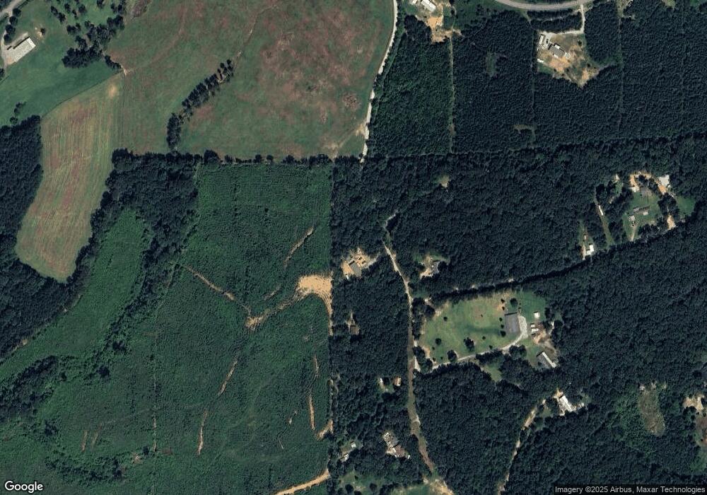
Map
Nearby Homes
- TBD Wildcat Rd
- 0 Wildcat Rd Unit 10689481
- 0 Wildcat Rd Unit 26307586
- 3363 Steadman Rd
- 474 Poplar Springs Rd
- 2239 Crossroads Church Rd
- Tract1 Georgia Highway 100
- 4104 Steadman Rd
- 8381 Georgia 100
- 0 Hagood Rd Unit 10707097
- 00001 Haralson County Scenic Byway
- 0 Carnes Rd Unit 147233
- 50 + - Acres Off Ga Hwy 78
- 1200 Roy Brown Rd
- 16 ACRES Gun Club Rd
- 2877 Jacksonville Rd
- 2661 Jacksonville Rd
- 0 Highway 78 E Unit 10740609
- 0 Highway 78 E Unit 7760092
- 2840 Tallapoosa Hwy
- 00 Wildcat Rd
- 0 Wildcat Rd Unit 9008191
- 915 Wildcat Rd
- 921 Wildcat Rd
- 865 Wildcat Rd
- 800 Wildcat Rd
- 845 Wildcat Rd
- 765 Wildcat Rd
- 0 10 Pope Lake Rd Unit TRACT 10 - 6.41 ACRE
- 764 Wildcat Rd
- 897 Wildcat Rd
- 1208 Pope Lake Rd
- 749 Wildcat Rd
- 750 Wildcat Rd
- 843 Pope Lake Rd
- 1224 Pope Lake Rd
- 0 2 Pope Lake Rd Unit TRACT 2 - 6.68 ACRES
- 0 7 Pope Lake Rd Unit TRACT 7 - 6.42 ACRES
- 0 9 Pope Lake Rd Unit TRACT 9 - 6.41 ACRES
- 0 3 Pope Lake Rd Unit TRACT 3 - 6.66 ACRES
Your Personal Tour Guide
Ask me questions while you tour the home.