Estimated Value: $566,065
Studio
--
Bath
1,320
Sq Ft
$429/Sq Ft
Est. Value
About This Home
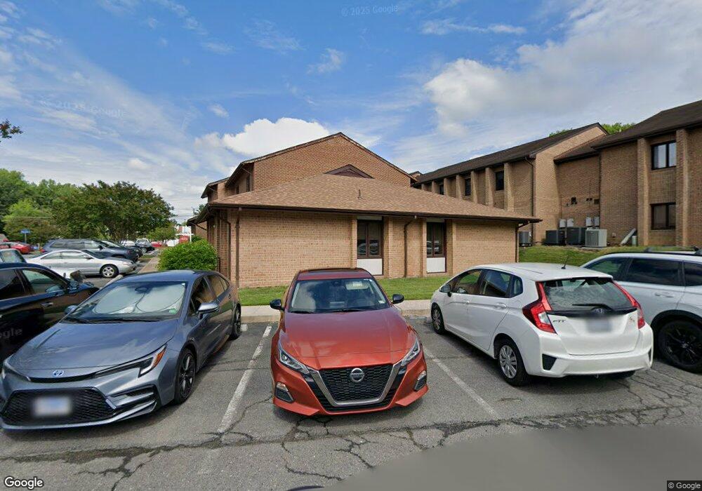
This home is located at 8987 Hersand Dr, Burke, VA 22015 and is currently estimated at $566,065, approximately $428 per square foot. 8987 Hersand Dr is a home located in Fairfax County with nearby schools including Kings Park Elementary School, Kings Glen Elementary School, and Lake Braddock Secondary School.
Ownership History
Date
Name
Owned For
Owner Type
Purchase Details
Closed on
May 4, 2017
Sold by
Leff Gary S and Levin Stanley Marc
Bought by
Qab Investments Llc A Virginia Limited L
Current Estimated Value
Home Financials for this Owner
Home Financials are based on the most recent Mortgage that was taken out on this home.
Original Mortgage
$328,000
Outstanding Balance
$273,739
Interest Rate
4.23%
Mortgage Type
New Conventional
Estimated Equity
$292,326
Purchase Details
Closed on
Apr 29, 2015
Sold by
Leff Dds Gary S
Bought by
Leff Tr Gary S
Purchase Details
Closed on
Jan 29, 2015
Sold by
Levin Dds Stanley M
Bought by
Levin Tr Stanley M
Create a Home Valuation Report for This Property
The Home Valuation Report is an in-depth analysis detailing your home's value as well as a comparison with similar homes in the area
Home Values in the Area
Average Home Value in this Area
Purchase History
| Date | Buyer | Sale Price | Title Company |
|---|---|---|---|
| Qab Investments Llc A Virginia Limited L | $410,000 | Walker Title Llc | |
| Leff Tr Gary S | -- | -- | |
| Levin Tr Stanley M | -- | -- |
Source: Public Records
Mortgage History
| Date | Status | Borrower | Loan Amount |
|---|---|---|---|
| Open | Qab Investments Llc A Virginia Limited L | $328,000 |
Source: Public Records
Tax History
| Year | Tax Paid | Tax Assessment Tax Assessment Total Assessment is a certain percentage of the fair market value that is determined by local assessors to be the total taxable value of land and additions on the property. | Land | Improvement |
|---|---|---|---|---|
| 2025 | $3,727 | $323,400 | $64,680 | $258,720 |
| 2024 | $3,727 | $290,400 | $58,080 | $232,320 |
| 2023 | $3,888 | $310,200 | $62,040 | $248,160 |
| 2022 | $4,353 | $343,200 | $68,640 | $274,560 |
| 2021 | $4,456 | $343,200 | $68,640 | $274,560 |
| 2020 | $4,491 | $343,200 | $68,640 | $274,560 |
| 2019 | $4,836 | $369,600 | $73,920 | $295,680 |
| 2018 | $4,836 | $369,600 | $73,920 | $295,680 |
| 2017 | $4,991 | $388,080 | $77,620 | $310,460 |
| 2016 | $4,490 | $349,800 | $69,960 | $279,840 |
| 2015 | $4,505 | $363,000 | $72,600 | $290,400 |
| 2014 | -- | $363,000 | $72,600 | $290,400 |
Source: Public Records
Map
Nearby Homes
- 8933 Burke Lake Rd
- 8806 Cromwell Dr
- 8802 Parliament Dr
- 5207 Capon Hill Place
- 5300 Kings Park Dr
- 4839 Red Fox Dr
- 8927 Cromwell Dr
- 4901 Red Fox Dr
- 9219 Claytonia Ln
- 5407 Point Longstreet Way
- 5004 Prince Caspian Ln
- 5222 Bradfield Dr
- 5224 Bradfield Dr
- 8942 Kenilworth Dr
- 5112 Althea Dr
- 9010 Lake Braddock Dr
- 4915 King Solomon Dr
- 5218 Olley Ln
- 5506 Kempton Dr
- 8813 Queen Elizabeth Blvd
- 8985 Hersand Dr
- 8985 Hersand Dr Unit 9
- 8983 Hersand Dr
- 8991-A Cotswold Dr
- 8991-B Cotswold Dr
- 8991 Cotswold Dr
- 8991 Cotswold Dr Unit 3
- 8991 Cotswold Dr Unit 2-3
- 8989-A Cotswold Dr
- 8989 Cotswold Dr Unit 8
- 5220 Rolling Rd Unit 11
- 5220 Rolling Rd
- 8993 Cotswold Dr Unit A
- 8993 Cotswold Dr Unit 10
- 9005 Fern Park Dr
- 8993 Cotswold Dr
- 8989-B Cotswold Dr
- 5222 Rolling Rd
- 5222 Rolling Rd Unit 1
- 8987 Cotswold Dr
Your Personal Tour Guide
Ask me questions while you tour the home.