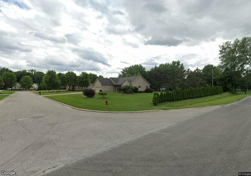
8997 Memory Ln Freeland, MI 48623
Freeland NeighborhoodEstimated Value: $410,000 - $442,000
4
Beds
3
Baths
1,939
Sq Ft
$219/Sq Ft
Est. Value
About This Home
This home is located at 8997 Memory Ln, Freeland, MI 48623 and is currently estimated at $425,032, approximately $219 per square foot. 8997 Memory Ln is a home located in Saginaw County with nearby schools including Freeland Learning Center, Freeland Elementary School, and Freeland Middle/High School.
Ownership History
Date
Name
Owned For
Owner Type
Purchase Details
Closed on
Oct 1, 2012
Sold by
Sampson Cindy
Bought by
Sampson Terry and Sampson Cindy
Current Estimated Value
Purchase Details
Closed on
May 18, 2010
Sold by
Savage Becky L and Boroff Cindy A
Bought by
Sampson Cindy
Home Financials for this Owner
Home Financials are based on the most recent Mortgage that was taken out on this home.
Original Mortgage
$200,376
Interest Rate
5.14%
Mortgage Type
Purchase Money Mortgage
Purchase Details
Closed on
Feb 22, 2008
Sold by
Kloha Shirley A
Bought by
Kloha Shirley A
Purchase Details
Closed on
May 7, 2004
Sold by
Garner Place Subdivision Llc
Bought by
Kloha Howard W and Kloha Shirley A
Create a Home Valuation Report for This Property
The Home Valuation Report is an in-depth analysis detailing your home's value as well as a comparison with similar homes in the area
Home Values in the Area
Average Home Value in this Area
Purchase History
| Date | Buyer | Sale Price | Title Company |
|---|---|---|---|
| Sampson Terry | -- | -- | |
| Sampson Cindy | $220,000 | -- | |
| Kloha Shirley A | -- | -- | |
| Kloha Howard W | $46,500 | -- |
Source: Public Records
Mortgage History
| Date | Status | Borrower | Loan Amount |
|---|---|---|---|
| Previous Owner | Sampson Cindy | $200,376 |
Source: Public Records
Tax History
| Year | Tax Paid | Tax Assessment Tax Assessment Total Assessment is a certain percentage of the fair market value that is determined by local assessors to be the total taxable value of land and additions on the property. | Land | Improvement |
|---|---|---|---|---|
| 2025 | $1,623 | $179,500 | $0 | $0 |
| 2024 | $1,574 | $178,700 | $0 | $0 |
| 2023 | $1,499 | $170,700 | $0 | $0 |
| 2022 | $4,479 | $148,600 | $0 | $0 |
| 2021 | $4,101 | $129,000 | $0 | $0 |
| 2020 | $3,971 | $131,100 | $0 | $0 |
| 2019 | $3,855 | $123,700 | $0 | $0 |
| 2018 | $1,307 | $126,000 | $0 | $0 |
| 2017 | $3,434 | $123,700 | $0 | $0 |
| 2016 | $3,405 | $121,200 | $0 | $0 |
| 2014 | -- | $117,800 | $0 | $97,000 |
| 2013 | -- | $113,900 | $0 | $0 |
Source: Public Records
Map
Nearby Homes
- 9924 Garner Ln
- 10224 Sarle Rd
- 8643 Ashland Place
- 10360 Laurel Woods Place
- 10585 Prairie View Ct
- 8674 Oakhill Dr
- 8657 Foxtail Trail
- 8441 Cottonwood Dr
- 10606 Tall Pine Ln
- 8884 Copper Ct
- 923 Wheelock St
- 286 Church St
- 8233 Midland Rd
- 9 Sanctuary Way Unit 9
- 11272 Robin Meadows
- 11050 Wilkinson Rd
- 11103 Thornberry Dr
- V/L Mielke Rd
- 11680 W Freeland Rd
- 7849 Rockcress Dr
- 9625 Sarle Rd
- 8975 Memory Ln
- Lot #22 Memory Ln
- 8998 Memory Ln
- 8976 Memory Ln
- 9824 Crystal Ln
- 8954 Memory Ln
- 9622 Sarle Rd
- 9840 Crystal Ln
- 9562 Sarle Rd
- 9803 Crystal Ln
- 9833 Crystal Ln
- 9674 Sarle Rd
- 9847 Crystal Ln
- 9475 Sarle Rd
- 9694 Sarle Rd
- 9864 Crystal Ln
- 9713 Sarle Rd
- 9713 Sarle Rd
- 9834 Crystal Ln
Your Personal Tour Guide
Ask me questions while you tour the home.