9 Acorn Dr Nesquehoning, PA 18240
Estimated Value: $253,582 - $319,000
3
Beds
1
Bath
1,260
Sq Ft
$231/Sq Ft
Est. Value
About This Home
This home is located at 9 Acorn Dr, Nesquehoning, PA 18240 and is currently estimated at $291,646, approximately $231 per square foot. 9 Acorn Dr is a home located in Carbon County with nearby schools including Tamaqua Area Senior High School.
Ownership History
Date
Name
Owned For
Owner Type
Purchase Details
Closed on
Mar 21, 2014
Sold by
Mackenzie William H and Mackenzie Patricia A
Bought by
Daubert Jacob J and Daubert Hayley E
Current Estimated Value
Home Financials for this Owner
Home Financials are based on the most recent Mortgage that was taken out on this home.
Original Mortgage
$94,400
Outstanding Balance
$70,463
Interest Rate
4.33%
Mortgage Type
New Conventional
Estimated Equity
$221,183
Purchase Details
Closed on
Jul 7, 2005
Sold by
Mckinley Clara L
Bought by
Mackenzie William H and Mackenzie Patricia A
Create a Home Valuation Report for This Property
The Home Valuation Report is an in-depth analysis detailing your home's value as well as a comparison with similar homes in the area
Home Values in the Area
Average Home Value in this Area
Purchase History
| Date | Buyer | Sale Price | Title Company |
|---|---|---|---|
| Daubert Jacob J | $118,000 | None Available | |
| Mackenzie William H | $118,000 | None Available |
Source: Public Records
Mortgage History
| Date | Status | Borrower | Loan Amount |
|---|---|---|---|
| Open | Daubert Jacob J | $94,400 |
Source: Public Records
Tax History
| Year | Tax Paid | Tax Assessment Tax Assessment Total Assessment is a certain percentage of the fair market value that is determined by local assessors to be the total taxable value of land and additions on the property. | Land | Improvement |
|---|---|---|---|---|
| 2026 | $13,371 | $268,500 | $90,500 | $178,000 |
| 2025 | $3,345 | $47,670 | $10,010 | $37,660 |
| 2024 | $3,566 | $47,670 | $10,010 | $37,660 |
| 2023 | $2,992 | $47,670 | $10,010 | $37,660 |
| 2022 | $2,901 | $47,670 | $10,010 | $37,660 |
| 2021 | $2,929 | $47,670 | $10,010 | $37,660 |
| 2020 | $2,864 | $47,670 | $10,010 | $37,660 |
| 2018 | $2,773 | $47,670 | $10,010 | $37,660 |
| 2017 | $2,669 | $47,670 | $10,010 | $37,660 |
| 2015 | -- | $47,670 | $10,010 | $37,660 |
| 2011 | -- | $47,670 | $0 | $0 |
Source: Public Records
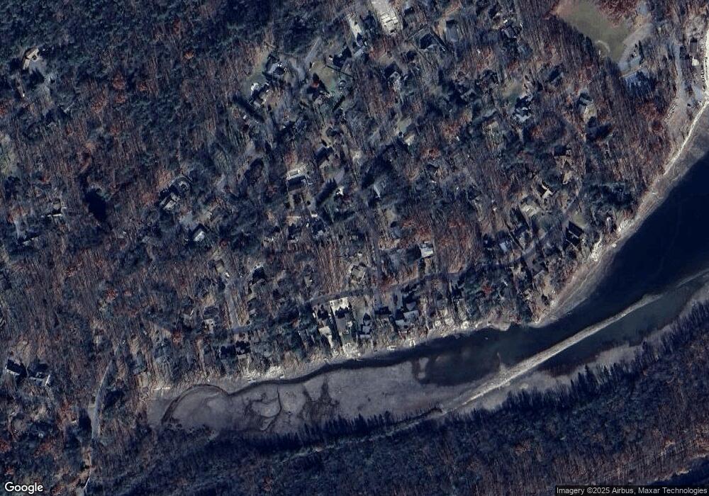
Map
Nearby Homes
- 29 Great Oaks Dr
- 220 Lake Dr
- 23 Blue Berry Ln
- 79 W Miner St
- 224 W Ridge St
- 103 W Miner St
- 130 6th St
- 139 6th St
- 230 W Howard Ave
- 10 E Ruddle St
- 115 E Ruddle St
- 169 2nd St
- 124 E High St
- 224 Fisher Ave
- 365 W Patterson St
- 312 W Ridge St
- 310 W Ridge St
- 307 W Patterson St
- 303 W Patterson St
- 229 W Patterson St
Your Personal Tour Guide
Ask me questions while you tour the home.