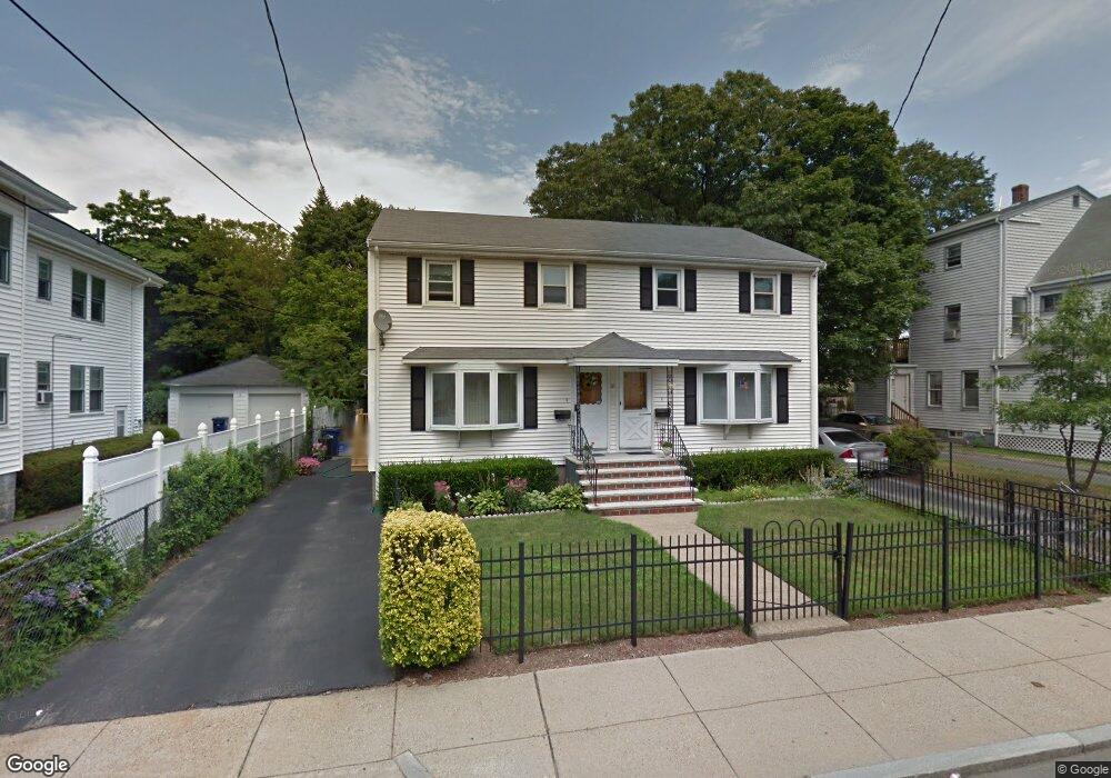
9 Blake St Mattapan, MA 02126
Hyde Park NeighborhoodEstimated Value: $638,000 - $822,875
About This Home
This home is located at 9 Blake St, Mattapan, MA 02126 and is currently estimated at $723,969, approximately $335 per square foot. 9 Blake St is a home located in Suffolk County with nearby schools including Boston Preparatory Charter Public School.
Ownership History
We collect this data history from publicly available records. To have your information removed, we recommend requesting removal directly through your county’s website.
Purchase Details
Home Financials for this Owner
Home Financials are based on the most recent Mortgage that was taken out on this home.Purchase Details
Home Values in the Area
Average Home Value in this Area
Purchase History
We collect this data history from publicly available records. To have your information removed, we recommend requesting removal directly through your county’s website.
| Date | Buyer | Sale Price | Title Company |
|---|---|---|---|
| $162,500 | -- | ||
| $162,500 | -- | ||
| $162,500 | -- | ||
| $193,000 | -- |
Mortgage History
We collect this data history from publicly available records. To have your information removed, we recommend requesting removal directly through your county’s website.
| Date | Status | Borrower | Loan Amount |
|---|---|---|---|
| Open | $236,250 | ||
| Closed | $236,250 | ||
| Previous Owner | $158,000 | ||
| Previous Owner | $169,000 |
Tax History
We collect this data history from publicly available records. To have your information removed, we recommend requesting removal directly through your county’s website.
| Year | Tax Paid | Tax Assessment Tax Assessment Total Assessment is a certain percentage of the fair market value that is determined by local assessors to be the total taxable value of land and additions on the property. | Land | Improvement |
|---|---|---|---|---|
| 2025 | $7,512 | $648,700 | $227,400 | $421,300 |
| 2024 | $7,095 | $650,900 | $210,600 | $440,300 |
| 2023 | $6,535 | $608,500 | $196,900 | $411,600 |
| 2022 | $6,130 | $563,400 | $182,300 | $381,100 |
| 2021 | $5,726 | $536,600 | $173,600 | $363,000 |
| 2020 | $4,779 | $452,600 | $155,100 | $297,500 |
| 2019 | $4,413 | $418,700 | $112,900 | $305,800 |
| 2018 | $3,988 | $380,500 | $112,900 | $267,600 |
| 2017 | $3,698 | $349,200 | $112,900 | $236,300 |
| 2016 | $3,623 | $329,400 | $112,900 | $216,500 |
| 2015 | $3,402 | $280,900 | $124,700 | $156,200 |
| 2014 | -- | $255,400 | $124,700 | $130,700 |
Map
- 35 George St Unit 2
- 70 Blake St
- 39-41 Suncrest Rd
- 18 Ralston Rd
- 15 Reddy Ave
- 34 Massasoit St
- 23 Taunton Ave
- 26 Oakwood St Unit 26
- 645 River St
- 3 Rock Rd
- 640 River St
- 38 Monponset St
- 5 Taunton Ave
- 25 Malta St
- 6 Rugby Rd
- 112 Brush Hill Rd
- 623 Cummins Hwy Unit A
- 623 Cummins Hwy Unit B
- 70 Brush Hill Rd Unit 72
- 18 Lexington Ave
- 2 Tracton Ave Unit 2
- 2 Tracton Ave Unit 1
- 28 Tileston St Unit 30
- 6 Linden Ave
- 13 Blake St Unit 15
- 4 Linden Ave
- 3 Tracton Ave
- 1 Tracton Ave
- 11 Blake St
- 19 Blake St
- 11 Blake St Unit 1
- 11 Blake St Unit 2
- 11 Blake St
- 2 Linden Ave
- 2-4 Tracton Ave
- 21 Blake St
- 5 Linden Ave
- 36 Tileston St
- 36A Tileston St
- 3 Linden Ave
Ask me questions while you tour the home.