9 Boat House Dr Wareham, MA 02571
Estimated Value: $673,741 - $781,000
3
Beds
2
Baths
1,878
Sq Ft
$395/Sq Ft
Est. Value
About This Home
This home is located at 9 Boat House Dr, Wareham, MA 02571 and is currently estimated at $741,435, approximately $394 per square foot. 9 Boat House Dr is a home located in Plymouth County.
Ownership History
Date
Name
Owned For
Owner Type
Purchase Details
Closed on
Oct 8, 2004
Sold by
Boutiette Margaret T
Bought by
Margaret T Boutiette R and Boutiette Margaret T
Current Estimated Value
Purchase Details
Closed on
Oct 7, 2004
Sold by
Margaret T Boutiette R and Boutiette Margaret T
Bought by
Boutiette Margaret T
Purchase Details
Closed on
Jun 21, 1976
Bought by
Boutiette Margaret T
Create a Home Valuation Report for This Property
The Home Valuation Report is an in-depth analysis detailing your home's value as well as a comparison with similar homes in the area
Purchase History
| Date | Buyer | Sale Price | Title Company |
|---|---|---|---|
| Margaret T Boutiette R | -- | -- | |
| Margaret T Boutiette R T | -- | -- | |
| Boutiette Margaret T | -- | -- | |
| Boutiette Margaret T | -- | -- | |
| Boutiette Margaret T | -- | -- |
Source: Public Records
Mortgage History
| Date | Status | Borrower | Loan Amount |
|---|---|---|---|
| Previous Owner | Boutiette Margaret T | $60,000 | |
| Previous Owner | Boutiette Margaret T | $20,000 |
Source: Public Records
Tax History
| Year | Tax Paid | Tax Assessment Tax Assessment Total Assessment is a certain percentage of the fair market value that is determined by local assessors to be the total taxable value of land and additions on the property. | Land | Improvement |
|---|---|---|---|---|
| 2025 | $6,729 | $645,800 | $290,700 | $355,100 |
| 2024 | $6,296 | $560,600 | $218,500 | $342,100 |
| 2023 | $5,685 | $501,800 | $199,100 | $302,700 |
| 2022 | $5,685 | $431,300 | $190,400 | $240,900 |
| 2021 | $5,656 | $420,500 | $190,400 | $230,100 |
| 2020 | $5,434 | $409,800 | $190,400 | $219,400 |
| 2019 | $5,655 | $425,500 | $231,200 | $194,300 |
| 2018 | $5,437 | $398,900 | $231,200 | $167,700 |
| 2017 | $5,275 | $392,200 | $231,200 | $161,000 |
| 2016 | $5,171 | $382,200 | $231,200 | $151,000 |
| 2015 | $5,228 | $400,000 | $249,000 | $151,000 |
| 2014 | $4,703 | $366,000 | $200,100 | $165,900 |
Source: Public Records
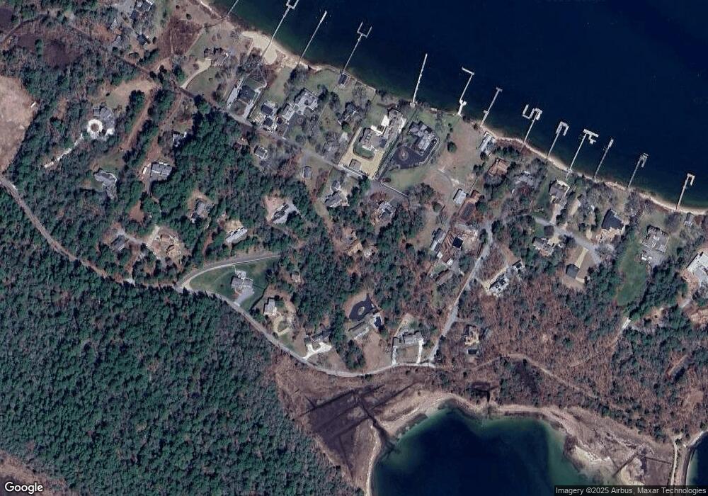
Map
Nearby Homes
- 200 Great Neck Rd
- 19 Maple St
- 22 Bay View Ave
- 12 Mason Street Extension
- 14 Over Jordan Rd
- 8 Over Jordan Rd
- 10 East Blvd
- 10 East Blvd
- 3 Carleton St Unit 3
- 29 Carleton St Unit 29
- 32 Carleton St Unit 32
- 20 Evergreen St
- 20 Evergreen St
- 3 Short Neck Rd
- 10 Beacon St Unit 83
- 36B Starboard Dr Unit 36E
- 36B Starboard Dr Unit 36G
- 36B Starboard Dr Unit 36C
- 36B Starboard Dr Unit 36A
- 36B Starboard Dr Unit 36D
- 11 Boat House Dr
- 8 Boat House Dr
- 5 Boat House Dr
- 53 Winship Ave
- 6 Boat House Dr
- 56 Burgess Point Rd
- 41 Winship Ave
- 4 Widows Cove Ln
- 55 Burgess Point Rd
- 64 Burgess Point Rd
- 64 Burgess Point Road (Private)
- 4 Boat House Dr
- 1 Boat House Dr
- 13 Widows Cove Ln
- 37 Winship Ave
- 4 Widow's Cove Ln
- 42 Winship Ave
- 50 Winship Ave
- 50 Winship Ave Unit 1
- 72-B Burgess Point Rd
Your Personal Tour Guide
Ask me questions while you tour the home.