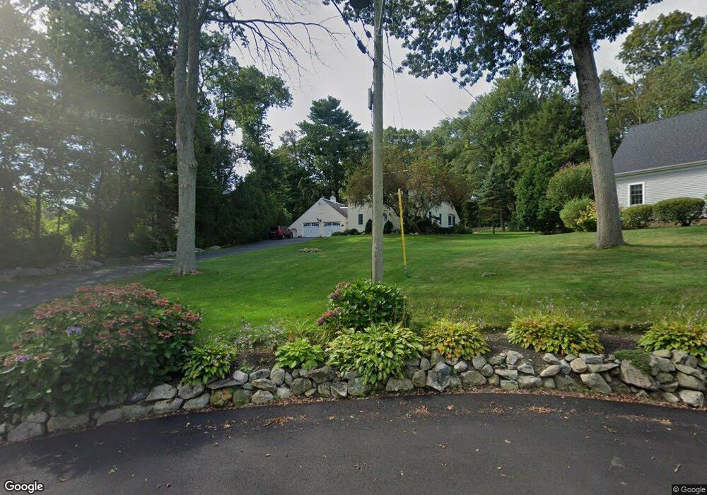
9 Boulder Ln Scituate, MA 02066
Estimated Value: $911,000 - $1,200,000
4
Beds
2
Baths
2,214
Sq Ft
$480/Sq Ft
Est. Value
About This Home
This home is located at 9 Boulder Ln, Scituate, MA 02066 and is currently estimated at $1,061,838, approximately $479 per square foot. 9 Boulder Ln is a home located in Plymouth County with nearby schools including Cushing Elementary School, Lester J. Gates Middle School, and Scituate High School.
Ownership History
Date
Name
Owned For
Owner Type
Purchase Details
Closed on
Oct 11, 1995
Sold by
Ducey Paul B and Ducey Janice L
Bought by
Donahue David F and Donahue Janet M
Current Estimated Value
Purchase Details
Closed on
Jan 14, 1987
Sold by
Brakley Chas D
Bought by
Ducey Paul B
Create a Home Valuation Report for This Property
The Home Valuation Report is an in-depth analysis detailing your home's value as well as a comparison with similar homes in the area
Home Values in the Area
Average Home Value in this Area
Purchase History
We collect this data history from publicly available records. To have your information removed, we recommend requesting removal directly through your county’s website.
| Date | Buyer | Sale Price | Title Company |
|---|---|---|---|
| Donahue David F | $257,000 | -- | |
| Ducey Paul B | $260,000 | -- |
Source: Public Records
Mortgage History
We collect this data history from publicly available records. To have your information removed, we recommend requesting removal directly through your county’s website.
| Date | Status | Borrower | Loan Amount |
|---|---|---|---|
| Open | Ducey Paul B | $15,000 | |
| Open | Ducey Paul B | $182,000 | |
| Closed | Ducey Paul B | $202,384 |
Source: Public Records
Tax History
| Year | Tax Paid | Tax Assessment Tax Assessment Total Assessment is a certain percentage of the fair market value that is determined by local assessors to be the total taxable value of land and additions on the property. | Land | Improvement |
|---|---|---|---|---|
| 2025 | $8,820 | $882,900 | $421,600 | $461,300 |
| 2024 | $8,658 | $835,700 | $383,300 | $452,400 |
| 2023 | $8,358 | $772,600 | $348,400 | $424,200 |
| 2022 | $8,358 | $662,300 | $316,000 | $346,300 |
| 2021 | $8,330 | $624,900 | $315,300 | $309,600 |
| 2020 | $7,726 | $572,300 | $303,100 | $269,200 |
| 2019 | $7,573 | $551,200 | $297,200 | $254,000 |
| 2018 | $7,258 | $520,300 | $292,100 | $228,200 |
| 2017 | $7,053 | $500,600 | $280,800 | $219,800 |
| 2016 | $6,760 | $478,100 | $258,300 | $219,800 |
| 2015 | $6,116 | $466,900 | $247,100 | $219,800 |
Source: Public Records
Map
Nearby Homes
- 684 Country Way
- 701 Country Way
- 17 Alexander Place
- 23 Acorn St
- 485 Country Way
- 105 Ann Vinal Rd
- 38 Booth Hill Rd
- 47 Tanglewood Dr
- 274 Gannett Rd
- 26 Mordecai Lincoln Rd
- 516 First Parish Rd
- 799 Country Way
- 817 Country Way
- 67 Border St
- 74 Branch St Unit 15
- 74 Branch St Unit 5
- 392 S Main St
- 430 Hatherly Rd Unit Exhibit “A”
- 430 Hatherly Rd Unit Exhibit “B”
- 0 Bates Ln (Lot E Kevin's Way) Unit 73419598
Your Personal Tour Guide
Ask me questions while you tour the home.