9 Branch Hill Rd Preston, CT 06365
Preston AreaEstimated Value: $352,000 - $468,000
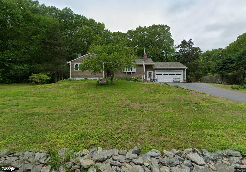
About This Home
This home is located at 9 Branch Hill Rd, Preston, CT 06365 and is currently estimated at $398,636, approximately $303 per square foot. 9 Branch Hill Rd is a home located in New London County.
Ownership History
We collect this data history from publicly available records. To have your information removed, we recommend requesting removal directly through your county’s website.
Purchase Details
Home Financials for this Owner
Home Financials are based on the most recent Mortgage that was taken out on this home.Purchase Details
Home Values in the Area
Average Home Value in this Area
Purchase History
We collect this data history from publicly available records. To have your information removed, we recommend requesting removal directly through your county’s website.
| Date | Buyer | Sale Price | Title Company |
|---|---|---|---|
| -- | -- | ||
| $53,500 | -- |
Mortgage History
We collect this data history from publicly available records. To have your information removed, we recommend requesting removal directly through your county’s website.
| Date | Status | Borrower | Loan Amount |
|---|---|---|---|
| Open | $237,200 | ||
| Previous Owner | $140,000 |
Tax History
We collect this data history from publicly available records. To have your information removed, we recommend requesting removal directly through your county’s website.
| Year | Tax Paid | Tax Assessment Tax Assessment Total Assessment is a certain percentage of the fair market value that is determined by local assessors to be the total taxable value of land and additions on the property. | Land | Improvement |
|---|---|---|---|---|
| 2025 | $4,632 | $184,450 | $53,900 | $130,550 |
| 2024 | $4,311 | $184,450 | $53,900 | $130,550 |
| 2023 | $4,233 | $184,450 | $53,900 | $130,550 |
| 2022 | $3,608 | $129,400 | $46,900 | $82,500 |
| 2021 | $3,486 | $129,400 | $46,900 | $82,500 |
| 2020 | $3,481 | $129,400 | $46,900 | $82,500 |
| 2019 | $3,420 | $129,400 | $46,900 | $82,500 |
| 2018 | $3,368 | $129,400 | $46,900 | $82,500 |
| 2017 | $3,641 | $151,700 | $46,900 | $104,800 |
| 2016 | $3,603 | $151,700 | $46,900 | $104,800 |
| 2015 | $3,489 | $151,700 | $46,900 | $104,800 |
| 2014 | $3,510 | $151,700 | $46,900 | $104,800 |
Map
- 6 Branch Hill Rd
- 10 Ricky Ln
- 11 Tanglewood Dr
- 43 Lynn Dr
- 18 Maynard Hill Rd
- 7 Maynard Hill Rd
- 10 Lynn Dr
- 15 Mains Way
- 86 School House Rd
- 4 Lake of Isles Rd
- 376 Route 165
- 14 Abbey Rd
- 16 Abbey Rd
- 57 NW Corner Rd
- 6 Tyler Dr
- 25 Coachman Pike
- 105 Stonington Rd
- 0 Lake of Isles Rd Unit 170371521
- 68 Corning Rd
- 84 Corning Rd
- 15 Branch Hill Rd
- 13 Branch Hill Rd
- 19 Branch Hill Rd
- 21 Branch Hill Rd
- 25 Branch Hill Rd
- 7 Branch Hill Rd
- 4 Branch Hill Rd
- 2 Branch Hill Rd
- 8 Branch Hill Rd
- 27 Branch Hill Rd
- 14 Doolittle Rd
- 8 Doolittle Rd
- 5 Branch Hill Rd
- 29 Branch Hill Rd
- 26 Doolittle Rd
- 20 Doolittle Rd
- 12 Branch Hill Rd
- 13 Doolittle Rd
- 11 Doolittle Rd
- 33 Branch Hill Rd
Ask me questions while you tour the home.