9 Castle Rd Freeport, ME 04032
Freeport AreaEstimated Value: $842,000 - $1,003,000
About This Home
This home is located at 9 Castle Rd, Freeport, ME 04032 and is currently estimated at $918,304, approximately $715 per square foot. 9 Castle Rd is a home located in Cumberland County with nearby schools including Morse Street School, Mast Landing School, and Freeport Middle School.
Ownership History
We collect this data history from publicly available records. To have your information removed, we recommend requesting removal directly through your county’s website.
Purchase Details
Home Financials for this Owner
Home Financials are based on the most recent Mortgage that was taken out on this home.Home Values in the Area
Average Home Value in this Area
Purchase History
We collect this data history from publicly available records. To have your information removed, we recommend requesting removal directly through your county’s website.
| Date | Buyer | Sale Price | Title Company |
|---|---|---|---|
| $561,434 | None Available |
Mortgage History
We collect this data history from publicly available records. To have your information removed, we recommend requesting removal directly through your county’s website.
| Date | Status | Borrower | Loan Amount |
|---|---|---|---|
| Open | $441,868 | ||
| Previous Owner | $45,000 | ||
| Closed | $25,000 | ||
| Closed | $76,500 |
Tax History
We collect this data history from publicly available records. To have your information removed, we recommend requesting removal directly through your county’s website.
| Year | Tax Paid | Tax Assessment Tax Assessment Total Assessment is a certain percentage of the fair market value that is determined by local assessors to be the total taxable value of land and additions on the property. | Land | Improvement |
|---|---|---|---|---|
| 2025 | $11,887 | $858,300 | $726,600 | $131,700 |
| 2024 | $10,994 | $823,500 | $691,800 | $131,700 |
| 2023 | $10,355 | $753,100 | $629,000 | $124,100 |
| 2022 | $9,348 | $684,800 | $561,600 | $123,200 |
| 2021 | $9,142 | $684,800 | $561,600 | $123,200 |
| 2020 | $8,872 | $633,700 | $520,000 | $113,700 |
| 2019 | $8,530 | $596,500 | $490,600 | $105,900 |
| 2018 | $8,443 | $561,000 | $462,900 | $98,100 |
| 2017 | $7,790 | $521,100 | $427,700 | $93,400 |
| 2016 | $7,500 | $474,700 | $388,000 | $86,700 |
| 2015 | $7,059 | $420,200 | $343,500 | $76,700 |
| 2014 | $6,639 | $420,200 | $343,500 | $76,700 |
| 2013 | $5,769 | $364,000 | $281,400 | $82,600 |
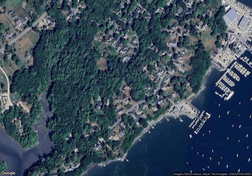
Map
- 675 Wolfe's Neck Rd
- 15 Cushing Briggs Rd
- 0 Redding Ln Unit 1657670
- 14 Marshview Dr
- 29 Crows Nest Dr
- 24 Merganser Way
- 14 Merganser Way
- 91 Shore Dr
- 245 Lower Flying Point Rd
- 10 & 0 Chickadee Ln
- 15 South St
- 43 Depot St Unit 206
- 43 Depot St Unit 407
- 43 Depot St Unit 104
- 43 Depot St Unit 309
- 56 Bow St
- 53 Waters Edge Dr
- 61 Crane Farm Way
- 70 Maquoit Dr
- 4 Piebald Point Ridge
- 22 Harraseeket Rd
- 11 Castle Rd
- 14 Harraseeket Rd
- 12 Park St S
- 0 Main St S Unit 849477
- 0 Main St S Unit 774838
- 0 Main St S Unit LOT 1 717227
- 0 Main St S Unit LOT 2 717223
- 22 Main St S
- 24 Main St S
- 0 Main St S
- 0 Main St S Unit 1144104
- 24 Harraseeket Rd
- 24 Talbot Way
- 21 Harraseeket Rd
- 25 Harraseeket Rd
- 12 Talbot Way
- 12 Harraseeket Rd
- 20 Park St
- 19 Harraseeket Rd
Ask me questions while you tour the home.