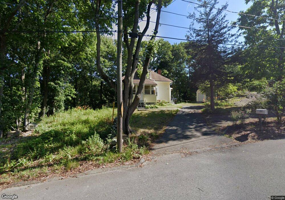
9 Cedarcrest Ave Salem, MA 01970
Vinnin Square NeighborhoodEstimated Value: $397,936 - $490,000
2
Beds
1
Bath
621
Sq Ft
$700/Sq Ft
Est. Value
About This Home
This home is located at 9 Cedarcrest Ave, Salem, MA 01970 and is currently estimated at $434,484, approximately $699 per square foot. 9 Cedarcrest Ave is a home located in Essex County with nearby schools including Saltonstall School, Horace Mann Laboratory, and Witchcraft Heights Elementary School.
Ownership History
Date
Name
Owned For
Owner Type
Purchase Details
Closed on
Dec 19, 2016
Sold by
Wendell M Peterson and Wendell Barry
Bought by
Jordan Kate
Current Estimated Value
Home Financials for this Owner
Home Financials are based on the most recent Mortgage that was taken out on this home.
Original Mortgage
$226,620
Outstanding Balance
$180,188
Interest Rate
3.54%
Mortgage Type
New Conventional
Estimated Equity
$254,296
Create a Home Valuation Report for This Property
The Home Valuation Report is an in-depth analysis detailing your home's value as well as a comparison with similar homes in the area
Home Values in the Area
Average Home Value in this Area
Purchase History
| Date | Buyer | Sale Price | Title Company |
|---|---|---|---|
| Jordan Kate | $251,800 | -- |
Source: Public Records
Mortgage History
| Date | Status | Borrower | Loan Amount |
|---|---|---|---|
| Open | Jordan Kate | $226,620 |
Source: Public Records
Tax History
| Year | Tax Paid | Tax Assessment Tax Assessment Total Assessment is a certain percentage of the fair market value that is determined by local assessors to be the total taxable value of land and additions on the property. | Land | Improvement |
|---|---|---|---|---|
| 2025 | $4,184 | $369,000 | $197,800 | $171,200 |
| 2024 | $4,195 | $361,000 | $197,800 | $163,200 |
| 2023 | $4,037 | $322,700 | $181,100 | $141,600 |
| 2022 | $3,984 | $300,700 | $174,400 | $126,300 |
| 2021 | $4,010 | $290,600 | $174,400 | $116,200 |
| 2020 | $3,907 | $270,400 | $164,300 | $106,100 |
| 2019 | $3,861 | $255,700 | $156,300 | $99,400 |
| 2018 | $3,820 | $248,400 | $148,900 | $99,500 |
| 2017 | $3,813 | $240,400 | $140,800 | $99,600 |
| 2016 | $3,505 | $223,700 | $124,100 | $99,600 |
| 2015 | $3,449 | $210,200 | $114,000 | $96,200 |
Source: Public Records
Map
Nearby Homes
- 15 Oak View Ave
- 1008 Paradise Rd Unit 3N
- 20 America Way Unit 2
- 18 America Way Unit 1
- 20 Weatherly Dr Unit 4
- 49 Weatherly Dr
- 30 Weatherly Dr
- 11 Weatherly Dr
- 2 Arnold Dr Unit 15 D
- 8 Russell Dr Unit 7D
- 441 Essex St Unit 202B
- 10 Quadrant Rd
- 24 Fairview Ave
- 2 Sunset Rd
- 2 Ocean Ave
- 106 Broadway Unit 3
- 280 Forest Ave
- 104 Stetson Ave Unit 2
- 13 Brittania Cir
- 15 Preston Beach Rd
- 11 Cedarcrest Ave
- 2 Defrancesco Ave
- 12 Cedarcrest Ave
- 1 Defrancesco Ave
- 5 Cedarcrest Ave
- 17 Cedarcrest Ave
- 12 Cedar Ave
- 19 Cedarcrest Rd
- 3 Cedarcrest Ave
- 16 Cedarcrest Ave
- 7-9 Cedarcrest Ave
- 1 Cedar Crest Ave
- 506 Loring Ave
- 506 Loring Ave Unit 1,1
- 20 Cedarcrest Ave
- 1 Kelley Rd
- 502 Loring Ave
- 4 Cedarcrest Ave
- 17 1/2 Cedarcrest Rd
- 46 Cedar Ave
Your Personal Tour Guide
Ask me questions while you tour the home.