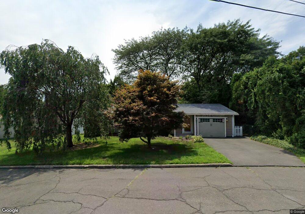
9 Corn Tassel Rd Bridgeport, CT 06606
North End NeighborhoodEstimated Value: $420,510 - $451,000
3
Beds
2
Baths
1,110
Sq Ft
$392/Sq Ft
Est. Value
About This Home
This home is located at 9 Corn Tassel Rd, Bridgeport, CT 06606 and is currently estimated at $435,378, approximately $392 per square foot. 9 Corn Tassel Rd is a home located in Fairfield County with nearby schools including John Winthrop School, Central High School, and St Andrew School.
Ownership History
Date
Name
Owned For
Owner Type
Purchase Details
Closed on
Apr 15, 1987
Sold by
Eick Catherine
Bought by
Razzino Mary
Current Estimated Value
Home Financials for this Owner
Home Financials are based on the most recent Mortgage that was taken out on this home.
Original Mortgage
$128,700
Interest Rate
8.97%
Mortgage Type
Purchase Money Mortgage
Create a Home Valuation Report for This Property
The Home Valuation Report is an in-depth analysis detailing your home's value as well as a comparison with similar homes in the area
Home Values in the Area
Average Home Value in this Area
Purchase History
| Date | Buyer | Sale Price | Title Company |
|---|---|---|---|
| Razzino Mary | $143,000 | -- |
Source: Public Records
Mortgage History
| Date | Status | Borrower | Loan Amount |
|---|---|---|---|
| Closed | Razzino Mary | $128,700 |
Source: Public Records
Tax History
| Year | Tax Paid | Tax Assessment Tax Assessment Total Assessment is a certain percentage of the fair market value that is determined by local assessors to be the total taxable value of land and additions on the property. | Land | Improvement |
|---|---|---|---|---|
| 2025 | $6,739 | $155,100 | $78,960 | $76,140 |
| 2024 | $6,739 | $155,100 | $78,960 | $76,140 |
| 2023 | $6,739 | $155,100 | $78,960 | $76,140 |
| 2022 | $6,739 | $155,100 | $78,960 | $76,140 |
| 2021 | $6,739 | $155,100 | $78,960 | $76,140 |
| 2020 | $6,697 | $124,050 | $61,850 | $62,200 |
| 2019 | $6,697 | $124,050 | $61,850 | $62,200 |
| 2018 | $6,745 | $124,050 | $61,850 | $62,200 |
| 2017 | $6,745 | $124,050 | $61,850 | $62,200 |
| 2016 | $6,745 | $124,050 | $61,850 | $62,200 |
| 2015 | $5,596 | $132,600 | $60,870 | $71,730 |
| 2014 | $5,596 | $132,600 | $60,870 | $71,730 |
Source: Public Records
Map
Nearby Homes
- 472 Anton St
- 50 Greenhouse Rd Unit 26B
- 50 Greenhouse Rd Unit 49C
- 50 Greenhouse Rd Unit 33D
- 50 Greenhouse Rd Unit 33C
- 3370 Madison Ave Unit 10B
- 105 Bear Paw Rd
- 177 Kennedy Dr
- 33 Trelane Dr
- 360 Vincellette St
- 230 Cherry Hill Dr Unit 2B
- 15 Cherry Hill Dr Unit 2A
- 153 Cherry Hill Dr Unit 2A
- 185 Cherry Hill Dr Unit 1A
- 2768 Madison Ave Unit 2A
- 2756 Madison Ave Unit 1A
- 239 Cherry Hill Dr Unit 1A
- 99 Quinsey Dr
- 217 Macon Dr
- 495 Vincellette St Unit 12
- 35 Sunburst Rd
- 25 Corn Tassel Rd
- 456 Anton St
- 442 Anton St
- 486 Anton St
- 37 Corn Tassel Rd
- 30 Corn Tassel Rd
- 50 Sunburst Rd
- 70 Sunburst Rd
- 36 Sunburst Rd
- 49 Corn Tassel Rd
- 502 Anton St
- 86 Sunburst Rd
- 24 Sunburst Rd
- 64 Corn Tassel Rd
- 516 Anton St
- 100 Sunburst Rd
- 115 Sunburst Rd
- 67 Corn Tassel Rd
- 414 Anton St
Your Personal Tour Guide
Ask me questions while you tour the home.