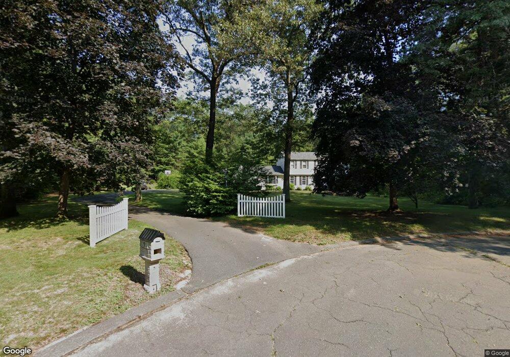
9 Douglas Dr Granby, CT 06035
Estimated Value: $538,468 - $612,000
3
Beds
3
Baths
2,230
Sq Ft
$262/Sq Ft
Est. Value
About This Home
This home is located at 9 Douglas Dr, Granby, CT 06035 and is currently estimated at $584,867, approximately $262 per square foot. 9 Douglas Dr is a home located in Hartford County with nearby schools including Kelly Lane Primary School, Granby Memorial Middle School, and Granby Memorial High School.
Ownership History
Date
Name
Owned For
Owner Type
Purchase Details
Closed on
Jul 1, 2011
Sold by
Mills Wendell H
Bought by
Spencer Scott K and Spencer Lisa
Current Estimated Value
Home Financials for this Owner
Home Financials are based on the most recent Mortgage that was taken out on this home.
Original Mortgage
$336,254
Interest Rate
4.62%
Mortgage Type
Purchase Money Mortgage
Purchase Details
Closed on
Sep 25, 1995
Sold by
Myers Alfred and Myers Pearl
Bought by
Mills Wendell and Mills Gloria
Home Financials for this Owner
Home Financials are based on the most recent Mortgage that was taken out on this home.
Original Mortgage
$67,000
Interest Rate
7.29%
Mortgage Type
Purchase Money Mortgage
Create a Home Valuation Report for This Property
The Home Valuation Report is an in-depth analysis detailing your home's value as well as a comparison with similar homes in the area
Home Values in the Area
Average Home Value in this Area
Purchase History
| Date | Buyer | Sale Price | Title Company |
|---|---|---|---|
| Spencer Scott K | $345,000 | -- | |
| Spencer Scott K | $345,000 | -- | |
| Mills Wendell | $217,000 | -- | |
| Mills Wendell | $217,000 | -- |
Source: Public Records
Mortgage History
| Date | Status | Borrower | Loan Amount |
|---|---|---|---|
| Open | Mills Wendell | $334,821 | |
| Closed | Mills Wendell | $336,254 | |
| Previous Owner | Mills Wendell | $67,000 |
Source: Public Records
Tax History
| Year | Tax Paid | Tax Assessment Tax Assessment Total Assessment is a certain percentage of the fair market value that is determined by local assessors to be the total taxable value of land and additions on the property. | Land | Improvement |
|---|---|---|---|---|
| 2025 | $9,967 | $291,340 | $65,170 | $226,170 |
| 2024 | $9,652 | $291,340 | $65,170 | $226,170 |
| 2023 | $9,291 | $291,340 | $65,170 | $226,170 |
| 2022 | $8,595 | $214,970 | $56,280 | $158,690 |
| 2021 | $8,515 | $214,970 | $56,280 | $158,690 |
| 2020 | $8,515 | $214,970 | $56,280 | $158,690 |
| 2019 | $8,515 | $214,970 | $56,280 | $158,690 |
| 2018 | $8,317 | $214,970 | $56,280 | $158,690 |
| 2017 | $8,161 | $215,110 | $56,280 | $158,830 |
| 2016 | $7,946 | $215,110 | $56,280 | $158,830 |
| 2015 | $7,791 | $215,110 | $56,280 | $158,830 |
| 2014 | $7,641 | $215,110 | $56,280 | $158,830 |
Source: Public Records
Map
Nearby Homes
- 23 Chatsworth Rd
- 19 Canton Rd
- 6 Winhart Dr
- 15 Winhart Dr
- 37 Salmon Brook St
- 2 Gatehouse Rd
- 42 Hartford Ave
- 110 W Granby Rd
- 33 Muriel Dr
- 12 Holcomb Ridge Rd
- 40 North Rd
- 10 Litchfield Dr
- 170 Simsbury Rd
- 16 Stonewall Dr
- 29 Strawberry Fields Rd
- 19 Washington Ridge Rd
- 14 North Dr
- 36 Clifdon Dr
- 100 Cambridge Ct
- 79 Cambridge Ct
Your Personal Tour Guide
Ask me questions while you tour the home.