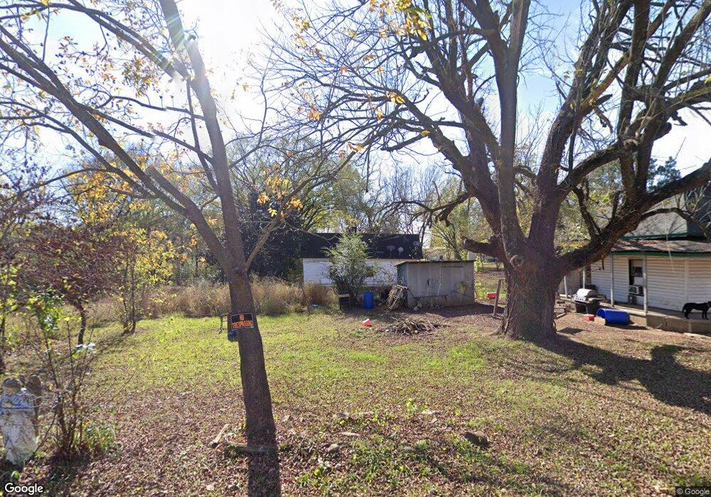
9 E 2nd Mulberry, AR 72947
Estimated Value: $48,741 - $147,000
Studio
--
Bath
1,047
Sq Ft
$102/Sq Ft
Est. Value
About This Home
This home is located at 9 E 2nd, Mulberry, AR 72947 and is currently estimated at $106,935, approximately $102 per square foot. 9 E 2nd is a home located in Crawford County with nearby schools including Marvin Primary School, Pleasant View Junior High School, and Mulberry High School.
Ownership History
Date
Name
Owned For
Owner Type
Purchase Details
Closed on
Jul 26, 2022
Sold by
Bugg Duncan Rothie Louise
Bought by
Cunningham Kathie Ellen and Bush Kimberly Bugg
Current Estimated Value
Purchase Details
Closed on
Aug 19, 2004
Bought by
Duncan Rothie L Bugg
Purchase Details
Closed on
Apr 12, 2001
Bought by
Carter-Duncan
Purchase Details
Closed on
May 9, 1996
Bought by
Carty-Carter\Ward
Create a Home Valuation Report for This Property
The Home Valuation Report is an in-depth analysis detailing your home's value as well as a comparison with similar homes in the area
Purchase History
| Date | Buyer | Sale Price | Title Company |
|---|---|---|---|
| Cunningham Kathie Ellen | $7,000 | Arkansas Asset Protection Grou | |
| Duncan Rothie L Bugg | -- | -- | |
| Carter-Duncan | $12,000 | -- | |
| Carty-Carter\Ward | $10,000 | -- |
Source: Public Records
Tax History
| Year | Tax Paid | Tax Assessment Tax Assessment Total Assessment is a certain percentage of the fair market value that is determined by local assessors to be the total taxable value of land and additions on the property. | Land | Improvement |
|---|---|---|---|---|
| 2025 | $252 | $4,820 | $2,250 | $2,570 |
| 2024 | $252 | $4,820 | $2,250 | $2,570 |
| 2023 | $252 | $4,820 | $2,250 | $2,570 |
| 2022 | $172 | $3,290 | $1,280 | $2,010 |
| 2021 | $221 | $4,540 | $1,280 | $3,260 |
| 2020 | $221 | $4,540 | $1,280 | $3,260 |
| 2019 | $221 | $4,540 | $1,280 | $3,260 |
| 2018 | $221 | $4,540 | $1,280 | $3,260 |
| 2017 | $213 | $4,540 | $1,280 | $3,260 |
| 2016 | $213 | $4,540 | $1,280 | $3,260 |
| 2015 | $213 | $4,540 | $1,280 | $3,260 |
| 2014 | $213 | $4,540 | $1,280 | $3,260 |
Source: Public Records
Map
Nearby Homes
- 210 W 2nd St
- 738 N Main St
- 904 Alma Ave
- 8 W 10th St
- TBD (lot 29) Keystone Dr
- TBD (lot 30) Keystone Dr
- 5527 Wire Rd
- 2150 Old Graphic St
- TBD Exsorbet Dr
- 3032 King Dr
- TBD Beth Lynn Dr
- 10117 Beth Lynn Rd
- 10119 Beth Lynn Rd
- 6839 U S 64
- 10110 Booth Rd
- 01 Arkansas 96
- TBD Goff Cir
- 0 Goff Cir
- 0 Tbd White Oak
- 5319 Chastain Rd
Your Personal Tour Guide
Ask me questions while you tour the home.