9 Erwin Rd Wayland, MA 01778
Estimated Value: $899,000 - $1,450,000
About This Home
This home is located at 9 Erwin Rd, Wayland, MA 01778 and is currently estimated at $1,217,758, approximately $607 per square foot. 9 Erwin Rd is a home located in Middlesex County with nearby schools including Wayland High School.
Ownership History
We collect this data history from publicly available records. To have your information removed, we recommend requesting removal directly through your county’s website.
Purchase Details
Home Financials for this Owner
Home Financials are based on the most recent Mortgage that was taken out on this home.Home Values in the Area
Average Home Value in this Area
Purchase History
We collect this data history from publicly available records. To have your information removed, we recommend requesting removal directly through your county’s website.
| Date | Buyer | Sale Price | Title Company |
|---|---|---|---|
| $425,000 | -- |
Mortgage History
We collect this data history from publicly available records. To have your information removed, we recommend requesting removal directly through your county’s website.
| Date | Status | Borrower | Loan Amount |
|---|---|---|---|
| Open | $200,000 |
Tax History
We collect this data history from publicly available records. To have your information removed, we recommend requesting removal directly through your county’s website.
| Year | Tax Paid | Tax Assessment Tax Assessment Total Assessment is a certain percentage of the fair market value that is determined by local assessors to be the total taxable value of land and additions on the property. | Land | Improvement |
|---|---|---|---|---|
| 2025 | $19,686 | $1,259,500 | $585,300 | $674,200 |
| 2024 | $18,618 | $1,199,600 | $557,300 | $642,300 |
| 2023 | $18,065 | $1,085,000 | $506,600 | $578,400 |
| 2022 | $17,255 | $940,300 | $419,400 | $520,900 |
| 2021 | $9,781 | $902,300 | $381,400 | $520,900 |
| 2020 | $16,025 | $902,300 | $381,400 | $520,900 |
| 2019 | $15,209 | $832,000 | $363,300 | $468,700 |
| 2018 | $8,509 | $798,200 | $363,300 | $434,900 |
| 2017 | $14,046 | $774,300 | $345,900 | $428,400 |
| 2016 | $12,693 | $732,000 | $339,000 | $393,000 |
| 2015 | $13,048 | $709,500 | $339,000 | $370,500 |
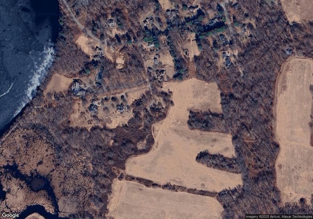
Map
- 5 Holbrook Rd
- 11 Lillian Way Unit 11
- 9 Stonebridge Rd
- 41 Lillian Way Unit 41
- 30 Stonebridge Rd
- 60 Riverview Cir
- 348 Old Connecticut Path
- 33 Wallace Rd
- 6 Old County Rd Unit 33
- 11 Concord Rd
- 14 Bennett Rd
- 10 Bennett Rd
- 266 Landham Rd
- 201 Boston Post Rd
- 17 Deer Run
- 12 Forest Hill Rd
- 29 Patricia Rd
- 108 Dudley Rd
- 1 Green Ln Unit 1
- 5 Green Ln Unit 5
- 11 Erwin Rd
- 8 Erwin Rd
- 6 Erwin Rd
- 7 Erwin Rd
- 180 Pelham Island Rd
- 2 Erwin Rd (Lot 2)
- 188 Pelham Island Rd
- 5 Erwin Rd
- 1 Erwin Rd (Lot 1)
- 179 Pelham Island Rd
- 9 Heard Rd
- 9 Heard Rd Unit 1
- 174 Pelham Island Rd
- 5 Heard Rd
- 187 Pelham Island Rd
- 175 Pelham Island Rd
- 170 Pelham Island Rd
- 171 Pelham Island Rd
- 6 Heard Rd
- 166 Pelham Island Rd
Ask me questions while you tour the home.