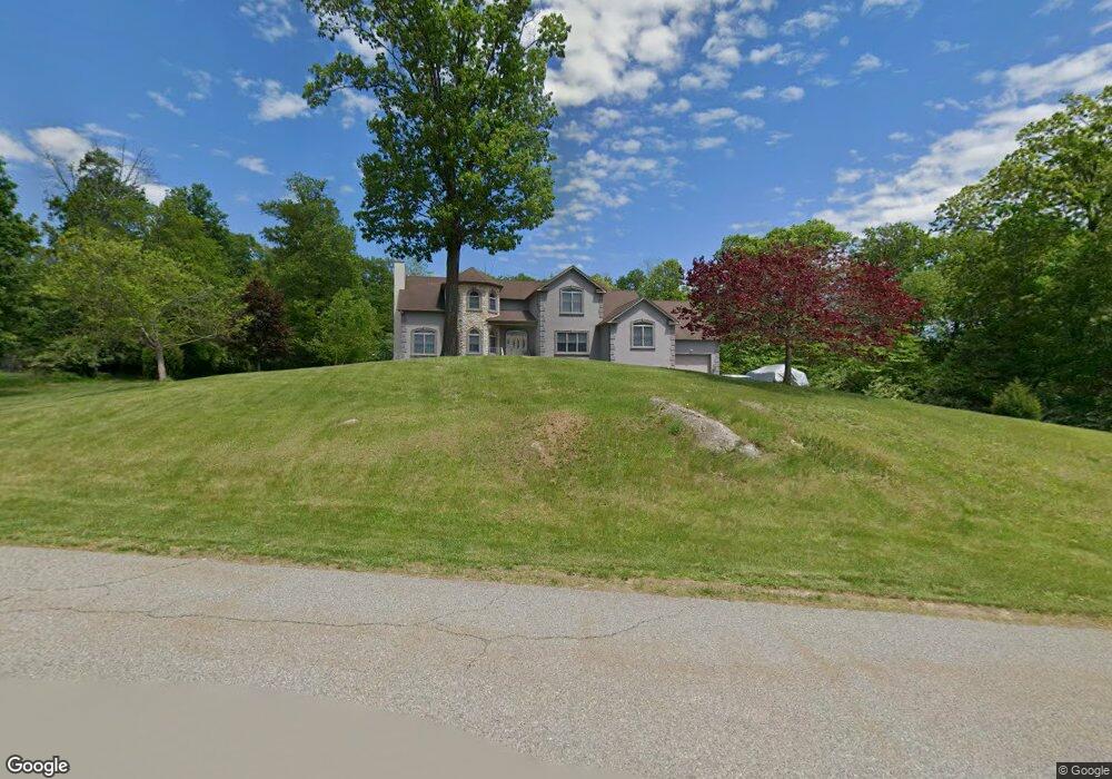
9 Heron Way Andover, NJ 07821
Estimated Value: $810,000 - $1,071,000
5
Beds
4
Baths
4,107
Sq Ft
$218/Sq Ft
Est. Value
About This Home
This home is located at 9 Heron Way, Andover, NJ 07821 and is currently estimated at $893,341, approximately $217 per square foot. 9 Heron Way is a home located in Sussex County with nearby schools including Green Hills School and Tranquility Adventist School.
Ownership History
Date
Name
Owned For
Owner Type
Purchase Details
Closed on
Sep 17, 2014
Sold by
Laite Christopher and Laite Denise
Bought by
Merz Timothy G and Merz Brenda
Current Estimated Value
Purchase Details
Closed on
May 23, 2002
Sold by
Caiazzo David
Bought by
Laite Christopher and Laite Denise
Purchase Details
Closed on
May 18, 2001
Sold by
Cabral Raymond
Bought by
Caiazzo David
Create a Home Valuation Report for This Property
The Home Valuation Report is an in-depth analysis detailing your home's value as well as a comparison with similar homes in the area
Home Values in the Area
Average Home Value in this Area
Purchase History
| Date | Buyer | Sale Price | Title Company |
|---|---|---|---|
| Merz Timothy G | $572,000 | None Available | |
| Laite Christopher | $123,000 | -- | |
| Caiazzo David | $80,000 | -- |
Source: Public Records
Tax History
| Year | Tax Paid | Tax Assessment Tax Assessment Total Assessment is a certain percentage of the fair market value that is determined by local assessors to be the total taxable value of land and additions on the property. | Land | Improvement |
|---|---|---|---|---|
| 2025 | $18,499 | $921,100 | $166,500 | $754,600 |
| 2024 | $18,366 | $475,300 | $132,300 | $343,000 |
Source: Public Records
Map
Nearby Homes
- 2 Stone Forge Rd
- 83 Creek Rd
- 112 Kennedy Rd
- 8 Spring Hunter Ct
- 10 Old Forge Rd
- 0 Decker Pond Airport Rd Unit 3945534
- 14 Misty Ln
- 37 Pequest Rd
- 15 Mountainview Dr
- 26 Fox Hollow Way
- 569 Ervey Rd
- 10 Sunny Ln
- 203 Johnsonburg Rd
- 195 Allamuchy Rd
- 70 S Shore Rd
- 96 Brighton Rd
- 6 Jans Way
- 8 Cub Lake Rd
- 5 Birch Rd
- 17 High St
Your Personal Tour Guide
Ask me questions while you tour the home.