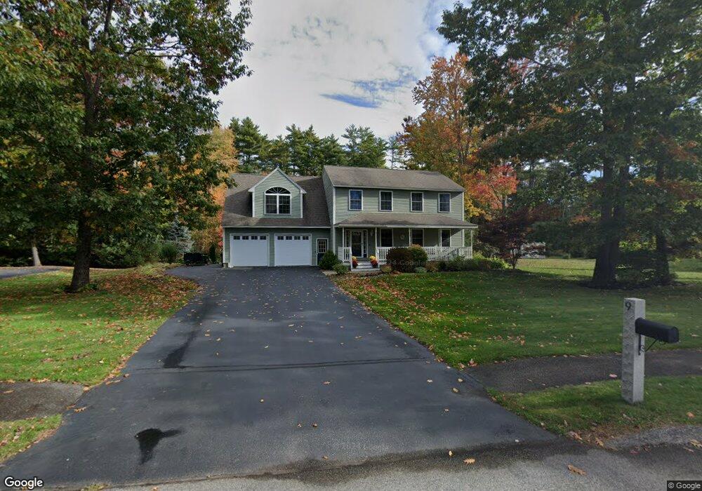
9 Isabella Ln Saco, ME 04072
North Saco NeighborhoodEstimated Value: $670,939 - $858,000
4
Beds
3
Baths
2,508
Sq Ft
$300/Sq Ft
Est. Value
About This Home
This home is located at 9 Isabella Ln, Saco, ME 04072 and is currently estimated at $752,485, approximately $300 per square foot. 9 Isabella Ln is a home located in York County with nearby schools including C K Burns School, Saco Middle School, and Saint James School.
Ownership History
Date
Name
Owned For
Owner Type
Purchase Details
Closed on
Sep 22, 2009
Sold by
Demin Vitaliy P and Demin Luba
Bought by
Gilbert Barbara A and Gilbert Timothy P
Current Estimated Value
Home Financials for this Owner
Home Financials are based on the most recent Mortgage that was taken out on this home.
Original Mortgage
$272,000
Outstanding Balance
$178,698
Interest Rate
5.28%
Mortgage Type
Unknown
Estimated Equity
$573,787
Create a Home Valuation Report for This Property
The Home Valuation Report is an in-depth analysis detailing your home's value as well as a comparison with similar homes in the area
Home Values in the Area
Average Home Value in this Area
Purchase History
| Date | Buyer | Sale Price | Title Company |
|---|---|---|---|
| Gilbert Barbara A | -- | -- |
Source: Public Records
Mortgage History
| Date | Status | Borrower | Loan Amount |
|---|---|---|---|
| Open | Gilbert Barbara A | $272,000 |
Source: Public Records
Tax History
| Year | Tax Paid | Tax Assessment Tax Assessment Total Assessment is a certain percentage of the fair market value that is determined by local assessors to be the total taxable value of land and additions on the property. | Land | Improvement |
|---|---|---|---|---|
| 2024 | $7,774 | $553,300 | $166,000 | $387,300 |
| 2023 | $8,161 | $553,300 | $166,000 | $387,300 |
| 2022 | $7,273 | $396,800 | $126,500 | $270,300 |
| 2021 | $7,016 | $371,600 | $117,100 | $254,500 |
| 2020 | $6,745 | $342,900 | $107,400 | $235,500 |
| 2019 | $6,645 | $342,900 | $107,400 | $235,500 |
| 2018 | $6,496 | $335,200 | $99,700 | $235,500 |
| 2017 | $6,384 | $329,400 | $90,700 | $238,700 |
| 2016 | $6,459 | $332,600 | $74,600 | $258,000 |
| 2015 | $6,331 | $329,400 | $74,600 | $254,800 |
| 2014 | $6,133 | $329,400 | $74,600 | $254,800 |
| 2013 | $6,120 | $329,400 | $74,600 | $254,800 |
Source: Public Records
Map
Nearby Homes
- 5 Coltons Way
- 18 Buxton Rd
- 121 Buxton Rd
- 15 Wendy Way
- 800 Portland Rd
- 747 Portland Rd
- 73 Hillview Ave
- 4 Lebanon Rd
- 16 Pine Haven St
- 17 Clayton Dr
- 4 Primrose Ln
- 1 Shamrock Dr
- 642 Main St
- 22 A Meserve Cir
- 20 Fenderson Rd
- 18A Garfield St
- 5 Blaine St Unit 101
- 5 Blaine St Unit 104
- 5 Blaine St Unit 102
- 5 Blaine St
Your Personal Tour Guide
Ask me questions while you tour the home.