9 Knapp Rd Raymond, ME 04071
Estimated Value: $452,000 - $749,000
2
Beds
1
Bath
1,144
Sq Ft
$518/Sq Ft
Est. Value
About This Home
This home is located at 9 Knapp Rd, Raymond, ME 04071 and is currently estimated at $592,065, approximately $517 per square foot. 9 Knapp Rd is a home located in Cumberland County with nearby schools including Raymond Elementary School, Jordan-Small Middle School, and Windham High School.
Ownership History
Date
Name
Owned For
Owner Type
Purchase Details
Closed on
Oct 19, 2005
Sold by
Spaldero Co Llc
Bought by
Pecoraro Frank A and Pecoraro Debrah E
Current Estimated Value
Home Financials for this Owner
Home Financials are based on the most recent Mortgage that was taken out on this home.
Original Mortgage
$350,000
Outstanding Balance
$186,864
Interest Rate
5.72%
Mortgage Type
Purchase Money Mortgage
Estimated Equity
$405,201
Purchase Details
Closed on
Apr 12, 2005
Sold by
Landry Kenneth R and Landry Gretchen L
Bought by
Spaldero Co
Home Financials for this Owner
Home Financials are based on the most recent Mortgage that was taken out on this home.
Original Mortgage
$500,000
Interest Rate
5.7%
Mortgage Type
Purchase Money Mortgage
Create a Home Valuation Report for This Property
The Home Valuation Report is an in-depth analysis detailing your home's value as well as a comparison with similar homes in the area
Home Values in the Area
Average Home Value in this Area
Purchase History
| Date | Buyer | Sale Price | Title Company |
|---|---|---|---|
| Pecoraro Frank A | -- | -- | |
| Spaldero Co | -- | -- |
Source: Public Records
Mortgage History
| Date | Status | Borrower | Loan Amount |
|---|---|---|---|
| Open | Pecoraro Frank A | $350,000 | |
| Previous Owner | Spaldero Co | $500,000 |
Source: Public Records
Tax History
| Year | Tax Paid | Tax Assessment Tax Assessment Total Assessment is a certain percentage of the fair market value that is determined by local assessors to be the total taxable value of land and additions on the property. | Land | Improvement |
|---|---|---|---|---|
| 2024 | $7,506 | $436,400 | $210,400 | $226,000 |
| 2023 | $6,939 | $436,400 | $210,400 | $226,000 |
| 2022 | $6,546 | $436,400 | $210,400 | $226,000 |
| 2021 | $6,153 | $436,400 | $210,400 | $226,000 |
| 2019 | $5,870 | $436,400 | $210,400 | $226,000 |
| 2018 | $1,718 | $436,400 | $210,400 | $226,000 |
| 2017 | $5,368 | $436,400 | $210,400 | $226,000 |
| 2016 | $5,280 | $436,400 | $210,400 | $226,000 |
| 2015 | $5,215 | $436,400 | $210,400 | $226,000 |
| 2014 | $5,150 | $436,400 | $210,400 | $226,000 |
| 2013 | $4,910 | $436,400 | $210,400 | $226,000 |
Source: Public Records
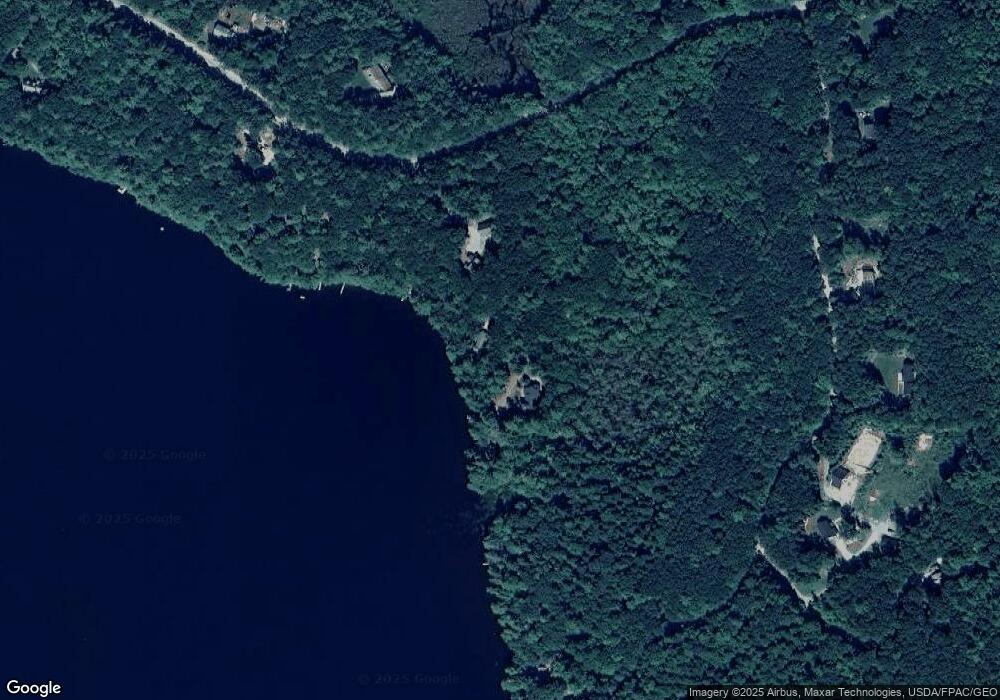
Map
Nearby Homes
- 80 Spiller Hill Rd
- 0 Mountain Rd
- 0 Gladstone Dr Unit 1642697
- 163 Valley Rd
- 192 Mountain Rd
- 0 Ginger Way Unit 1656391
- 0 Ginger Way Unit 1656392
- 41 Haskell Ave
- TBD Pine Hill Rd
- 0 Lucys Dr
- 631 Johnson Hill Rd
- 3 Coffee Pond Rd
- 71A Black Point Rd
- 14 Golden Way
- 26 E East Beach Rd Unit 26
- Lot 47C Hines Rd
- 46-47D Hines Rd & Main St
- TBD Emmaus Rd
- 432 Meadow Rd
- 25 Katheryn Blvd
Your Personal Tour Guide
Ask me questions while you tour the home.