9 Lawrence Place Unit 11 Brighton, MA 02135
Brighton NeighborhoodEstimated Value: $869,000 - $1,024,000
4
Beds
2
Baths
1,954
Sq Ft
$486/Sq Ft
Est. Value
About This Home
This home is located at 9 Lawrence Place Unit 11, Brighton, MA 02135 and is currently estimated at $950,428, approximately $486 per square foot. 9 Lawrence Place Unit 11 is a home located in Suffolk County with nearby schools including Boston Green Academy Horace Mann Charter School, St Columbkille Partnership School, and Shaloh House Jewish Day School.
Ownership History
Date
Name
Owned For
Owner Type
Purchase Details
Closed on
Jan 20, 2023
Sold by
9-11 Lawrence Street Rt
Bought by
Lawrence Place 9-11 Rt
Current Estimated Value
Purchase Details
Closed on
Jul 17, 2013
Sold by
Laerence Place T
Bought by
9-11 Lawrence Street R
Create a Home Valuation Report for This Property
The Home Valuation Report is an in-depth analysis detailing your home's value as well as a comparison with similar homes in the area
Home Values in the Area
Average Home Value in this Area
Purchase History
| Date | Buyer | Sale Price | Title Company |
|---|---|---|---|
| Lawrence Place 9-11 Rt | -- | None Available | |
| 9-11 Lawrence Street R | -- | -- |
Source: Public Records
Tax History
| Year | Tax Paid | Tax Assessment Tax Assessment Total Assessment is a certain percentage of the fair market value that is determined by local assessors to be the total taxable value of land and additions on the property. | Land | Improvement |
|---|---|---|---|---|
| 2025 | $8,327 | $719,100 | $236,200 | $482,900 |
| 2024 | $8,003 | $734,200 | $225,200 | $509,000 |
| 2023 | $7,885 | $734,200 | $225,200 | $509,000 |
| 2022 | $7,463 | $685,900 | $210,400 | $475,500 |
| 2021 | $6,971 | $653,300 | $200,400 | $452,900 |
| 2020 | $6,716 | $636,000 | $176,300 | $459,700 |
| 2019 | $6,383 | $605,600 | $138,500 | $467,100 |
| 2018 | $5,875 | $560,600 | $138,500 | $422,100 |
| 2017 | $5,820 | $549,600 | $138,500 | $411,100 |
| 2016 | $5,496 | $499,600 | $138,500 | $361,100 |
| 2015 | $5,417 | $447,300 | $144,100 | $303,200 |
| 2014 | $4,891 | $388,800 | $144,100 | $244,700 |
Source: Public Records
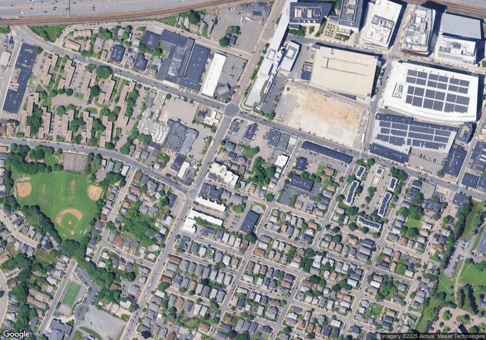
Map
Nearby Homes
- 214 Market St Unit 405
- 214 Market St Unit 208
- 214 Market St Unit 201
- 18 Glencoe St Unit 48
- 15 17 Cushman St
- 257 R Market St Unit B
- 36-38 Faneuil St
- 87 Etna St
- 36-38 Mapleton St
- 68 Murdock St
- 58 Dustin St Unit 1
- 70 Leo Birmingham Pkwy Unit 504
- 70 Leo M Birmingham Pkwy Unit 416
- 50 Hichborn St Unit 204
- 50 Hichborn St Unit 304
- 50 Hichborn St Unit 407
- 50 Hichborn St Unit 209
- 50 Leo M Birmingham Pkwy Unit 506
- 50 Leo M Birmingham Pkwy Unit 409
- 50 Leo M Birmingham Pkwy Unit 605
- 8 Lawrence Place
- 8 Lawrence Place Unit 2
- 5 Lawrence Place Unit 1
- 6 Lawrence Place
- 6 Lawrence Place Unit 1
- 57 Lawrence Place
- 16 Saybrook St Unit 18
- 16 Saybrook St Unit 1
- 13 Lawrence Place
- 1-3 Lawrence Place
- 1 Lawrence Place Unit 1
- 3 Lawrence Place
- 3 Lawrence Place Unit 3
- 24 Lawrence Place
- 206 S Market St Unit ID1051209P
- 2-4 Lawrence Place
- 2 Lawrence Place
- 200-202 Market St Unit 2
- 200-202 Market St
- 200 Market St Unit 1
Your Personal Tour Guide
Ask me questions while you tour the home.