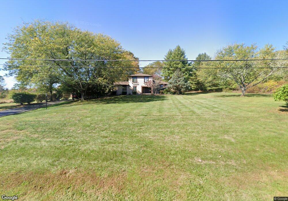
9 Losey Rd Ringoes, NJ 08551
Estimated Value: $697,765 - $841,000
3
Beds
3
Baths
2,538
Sq Ft
$305/Sq Ft
Est. Value
About This Home
This home is located at 9 Losey Rd, Ringoes, NJ 08551 and is currently estimated at $773,441, approximately $304 per square foot. 9 Losey Rd is a home located in Hunterdon County with nearby schools including East Amwell Township, Hunterdon Central Regional High School District, and Our Hope Christian Academy.
Ownership History
Date
Name
Owned For
Owner Type
Purchase Details
Closed on
Oct 20, 2010
Sold by
Malba Anthony M and Malba Jo Ann
Bought by
Fox Vance Edwardes and Raleigh Elizabeth Ann
Current Estimated Value
Home Financials for this Owner
Home Financials are based on the most recent Mortgage that was taken out on this home.
Original Mortgage
$353,000
Outstanding Balance
$233,416
Interest Rate
4.39%
Mortgage Type
New Conventional
Estimated Equity
$540,025
Create a Home Valuation Report for This Property
The Home Valuation Report is an in-depth analysis detailing your home's value as well as a comparison with similar homes in the area
Home Values in the Area
Average Home Value in this Area
Purchase History
| Date | Buyer | Sale Price | Title Company |
|---|---|---|---|
| Fox Vance Edwardes | $441,250 | First American Title Ins Co |
Source: Public Records
Mortgage History
| Date | Status | Borrower | Loan Amount |
|---|---|---|---|
| Open | Fox Vance Edwardes | $353,000 |
Source: Public Records
Tax History
| Year | Tax Paid | Tax Assessment Tax Assessment Total Assessment is a certain percentage of the fair market value that is determined by local assessors to be the total taxable value of land and additions on the property. | Land | Improvement |
|---|---|---|---|---|
| 2025 | $10,635 | $402,400 | $184,500 | $217,900 |
| 2024 | $10,507 | $402,400 | $184,500 | $217,900 |
Source: Public Records
Map
Nearby Homes
- 147 Rocktown Rd
- 0 Back Brook Rd
- 34 Back Brook Rd
- 63 Linvale Rd
- 80 Linvale Rd
- 38 John Ringo Rd
- 0 Old York Rd
- 5 Fisher Ct
- 526 County Rd Unit 579
- 74 Stony Brook Rd
- 18 Danberry Dr
- 84 Stony Brook Rd
- 11 Messenger Ln
- 54 Ridge Rd
- 1714 Linvale Harbourton Rd
- 00 Stony Brook Rd
- 38 Larsen Rd
- 144 Van Dyke Rd
- 351 Rock Rd E
- 11 Wilson Way
Your Personal Tour Guide
Ask me questions while you tour the home.