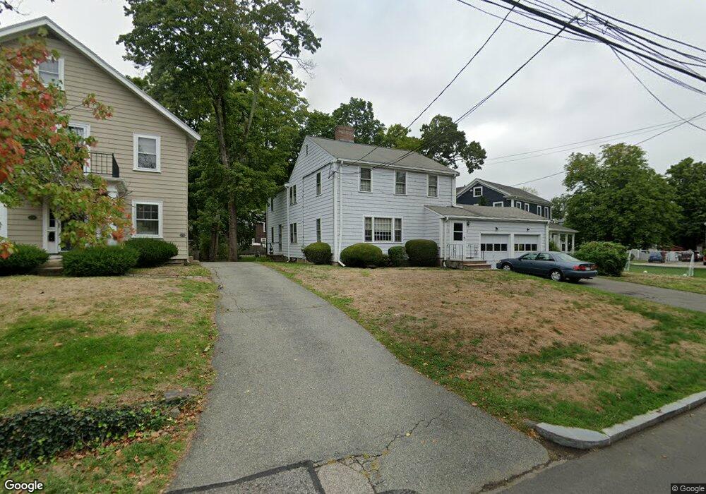
9 Maple St Unit 11 Auburndale, MA 02466
Auburndale NeighborhoodEstimated Value: $1,227,000 - $1,848,163
About This Home
This home is located at 9 Maple St Unit 11, Auburndale, MA 02466 and is currently estimated at $1,395,791, approximately $547 per square foot. 9 Maple St Unit 11 is a home located in Middlesex County with nearby schools including Williams Elementary School, Charles E Brown Middle School, and Newton South High School.
Ownership History
We collect this data history from publicly available records. To have your information removed, we recommend requesting removal directly through your county’s website.
Purchase Details
Home Values in the Area
Average Home Value in this Area
Purchase History
We collect this data history from publicly available records. To have your information removed, we recommend requesting removal directly through your county’s website.
| Date | Buyer | Sale Price | Title Company |
|---|---|---|---|
| $330,000 | -- |
Mortgage History
We collect this data history from publicly available records. To have your information removed, we recommend requesting removal directly through your county’s website.
| Date | Status | Borrower | Loan Amount |
|---|---|---|---|
| Open | $615,000 |
Tax History
We collect this data history from publicly available records. To have your information removed, we recommend requesting removal directly through your county’s website.
| Year | Tax Paid | Tax Assessment Tax Assessment Total Assessment is a certain percentage of the fair market value that is determined by local assessors to be the total taxable value of land and additions on the property. | Land | Improvement |
|---|---|---|---|---|
| 2025 | $11,290 | $1,152,000 | $826,500 | $325,500 |
| 2024 | $10,916 | $1,118,400 | $802,400 | $316,000 |
| 2023 | $10,313 | $1,013,100 | $652,900 | $360,200 |
| 2022 | $9,869 | $938,100 | $604,500 | $333,600 |
| 2021 | $9,260 | $860,600 | $554,600 | $306,000 |
| 2020 | $8,985 | $860,600 | $554,600 | $306,000 |
| 2019 | $8,405 | $804,300 | $518,300 | $286,000 |
| 2018 | $8,397 | $776,100 | $490,600 | $285,500 |
| 2017 | $7,917 | $712,000 | $450,100 | $261,900 |
| 2016 | $7,433 | $653,200 | $412,900 | $240,300 |
| 2015 | $7,088 | $610,500 | $385,900 | $224,600 |
Map
- 1935 Commonwealth Ave Unit 1935
- 2031 Commonwealth Ave
- 123 Auburn St Unit 1
- 107 Rowe St
- 20-22 Greenough St
- 283 Melrose St
- 288 Auburndale Ave Unit B
- 284 Webster St
- 289 Auburndale Ave Unit 291
- 349 Auburndale Ave
- 16 Ware Rd
- 25 Curve St
- 1581 Washington St Unit 1
- 41 Murray Rd
- 19 Rockwood Terrace
- 285 Lexington St
- 15 Woodbine Terrace
- 9 Johnson Place Unit 9
- 104 Oldham Rd
- 2239 Commonwealth Ave Unit 2239
- 17 Maple St Unit 19
- 17 Maple St Unit 17
- 17 Maple St Unit 2
- 17-19 Maple St Unit 1
- 17-19 Maple St Unit 2
- 17-19 Maple St
- 19 Maple St Unit 19
- 23 Maple St
- 23 Maple St
- 25 Maple St Unit 1
- 9 Maple St Unit 9
- 23 Maple St Unit 25
- 23 Maple St Unit right side
- 214 Auburn St
- 85 Central St
- 75 Central St Unit 77
- 220 Auburn St
- 22 Maple St
- 26 Maple St
- 81 Central St
Ask me questions while you tour the home.