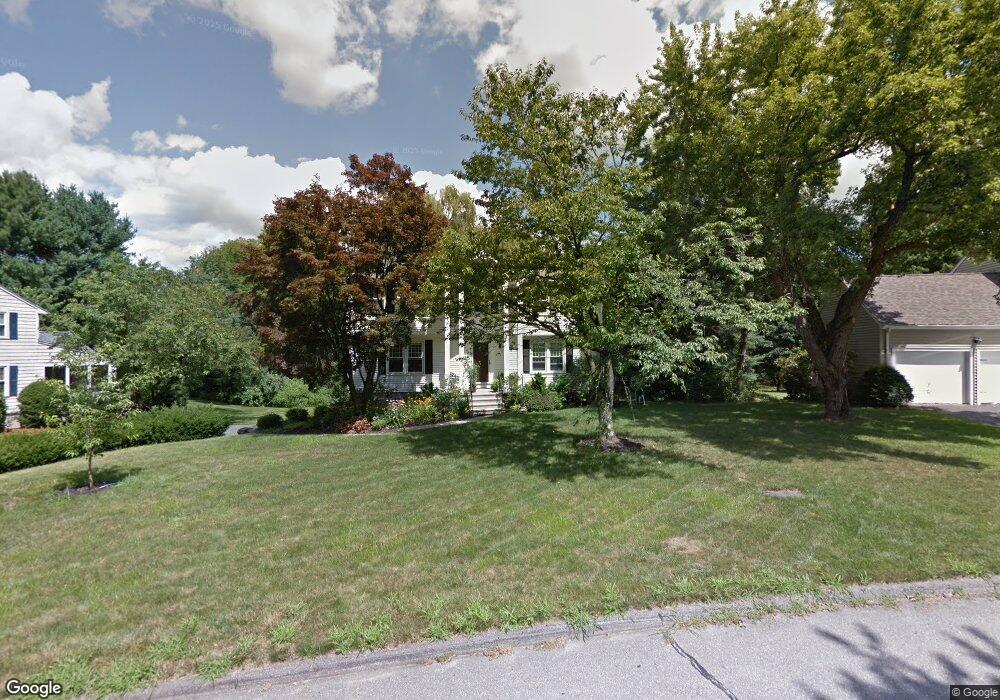
9 Maplecrest Dr Southborough, MA 01772
Estimated Value: $840,691 - $951,000
4
Beds
3
Baths
1,960
Sq Ft
$465/Sq Ft
Est. Value
About This Home
This home is located at 9 Maplecrest Dr, Southborough, MA 01772 and is currently estimated at $910,673, approximately $464 per square foot. 9 Maplecrest Dr is a home located in Worcester County with nearby schools including Mary E Finn School, Albert S. Woodward Memorial School, and Margaret A. Neary School.
Ownership History
Date
Name
Owned For
Owner Type
Purchase Details
Closed on
Nov 18, 2023
Sold by
Laning Joseph C and Laning Karen E
Bought by
Laning Ft and Laning
Current Estimated Value
Purchase Details
Closed on
Aug 10, 2000
Sold by
Spector Leon L and Spector Gertrude B
Bought by
Laning Joseph C and Laning Karen E
Create a Home Valuation Report for This Property
The Home Valuation Report is an in-depth analysis detailing your home's value as well as a comparison with similar homes in the area
Home Values in the Area
Average Home Value in this Area
Purchase History
We collect this data history from publicly available records. To have your information removed, we recommend requesting removal directly through your county’s website.
| Date | Buyer | Sale Price | Title Company |
|---|---|---|---|
| Laning Ft | -- | None Available | |
| Laning Joseph C | $340,000 | -- |
Source: Public Records
Mortgage History
We collect this data history from publicly available records. To have your information removed, we recommend requesting removal directly through your county’s website.
| Date | Status | Borrower | Loan Amount |
|---|---|---|---|
| Previous Owner | Laning Joseph C | $280,000 | |
| Previous Owner | Laning Joseph C | $228,000 | |
| Previous Owner | Laning Joseph C | $256,000 | |
| Previous Owner | Laning Joseph C | $252,000 |
Source: Public Records
Tax History
| Year | Tax Paid | Tax Assessment Tax Assessment Total Assessment is a certain percentage of the fair market value that is determined by local assessors to be the total taxable value of land and additions on the property. | Land | Improvement |
|---|---|---|---|---|
| 2025 | $10,751 | $778,500 | $329,300 | $449,200 |
| 2024 | $10,103 | $726,300 | $324,700 | $401,600 |
| 2023 | $9,618 | $651,600 | $307,200 | $344,400 |
| 2022 | $9,078 | $557,600 | $267,300 | $290,300 |
| 2021 | $5,286 | $544,900 | $271,900 | $273,000 |
| 2020 | $8,935 | $536,300 | $263,700 | $272,600 |
| 2019 | $8,894 | $531,300 | $249,700 | $281,600 |
| 2018 | $8,270 | $512,400 | $240,300 | $272,100 |
| 2017 | $8,011 | $489,100 | $240,300 | $248,800 |
| 2016 | $7,837 | $495,400 | $240,400 | $255,000 |
| 2015 | $7,850 | $490,000 | $226,200 | $263,800 |
Source: Public Records
Map
Nearby Homes
- 7 Maplecrest Dr
- 5 Maplecrest Dr
- 10 Maplecrest Dr
- 11 Maplecrest Dr
- 20 Pinecone Ln
- 18 Pinecone Ln
- 2 Pinecone Ln
- 12 Maplecrest Dr
- 8 Maplecrest Dr
- 4 Pinecone Ln
- 22 Pinecone Ln
- 16 Pinecone Ln
- 13 Maplecrest Dr
- 6 Pinecone Ln
- 14 Maplecrest Dr
- 101 Framingham Rd
- 24 Pinecone Ln
- 6 Maplecrest Dr
- 15 Maplecrest Dr
- 14 Pinecone Ln
Your Personal Tour Guide
Ask me questions while you tour the home.