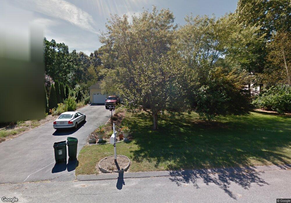
9 Morse Croft Ln Amesbury, MA 01913
Estimated Value: $873,229 - $1,058,000
3
Beds
3
Baths
2,526
Sq Ft
$371/Sq Ft
Est. Value
About This Home
This home is located at 9 Morse Croft Ln, Amesbury, MA 01913 and is currently estimated at $937,807, approximately $371 per square foot. 9 Morse Croft Ln is a home located in Essex County with nearby schools including Amesbury High School and Amesbury Seventh-Day Adventist School.
Ownership History
Date
Name
Owned For
Owner Type
Purchase Details
Closed on
Aug 11, 2006
Sold by
Jahnke Hartmut H and Jahnke Renate A
Bought by
Frost Peter M and Frost Marion C
Current Estimated Value
Create a Home Valuation Report for This Property
The Home Valuation Report is an in-depth analysis detailing your home's value as well as a comparison with similar homes in the area
Home Values in the Area
Average Home Value in this Area
Purchase History
| Date | Buyer | Sale Price | Title Company |
|---|---|---|---|
| Frost Peter M | $465,000 | -- |
Source: Public Records
Mortgage History
| Date | Status | Borrower | Loan Amount |
|---|---|---|---|
| Open | Frost Peter M | $340,000 | |
| Closed | Frost Peter M | $359,000 |
Source: Public Records
Tax History
| Year | Tax Paid | Tax Assessment Tax Assessment Total Assessment is a certain percentage of the fair market value that is determined by local assessors to be the total taxable value of land and additions on the property. | Land | Improvement |
|---|---|---|---|---|
| 2025 | $12,069 | $788,800 | $317,500 | $471,300 |
| 2024 | $11,520 | $736,600 | $299,500 | $437,100 |
| 2023 | $10,541 | $645,100 | $260,500 | $384,600 |
| 2022 | $10,315 | $583,100 | $226,500 | $356,600 |
| 2021 | $9,778 | $535,800 | $182,800 | $353,000 |
| 2020 | $8,794 | $511,900 | $175,700 | $336,200 |
| 2019 | $8,261 | $486,900 | $175,700 | $311,200 |
| 2018 | $8,806 | $463,700 | $167,200 | $296,500 |
| 2017 | $9,043 | $453,300 | $167,200 | $286,100 |
| 2016 | $8,828 | $435,300 | $167,200 | $268,100 |
| 2015 | $8,676 | $422,400 | $167,200 | $255,200 |
| 2014 | $8,583 | $409,300 | $167,200 | $242,100 |
Source: Public Records
Map
Nearby Homes
- 12 Locke Hill Ln
- 149 Market St
- 39 Unicorn Cir
- 5 Russell St Unit 1
- 20 Mason Ct
- 49 Orchard St
- 48 Orchard St
- 27 Lake St
- 101 Market St Unit B
- 51 Locust St
- 25 Cedar St Unit 4
- 8 Winter St
- 4 Boardman St
- 81 High St Unit 23
- 64 Whitehall Rd
- 2 Back River Rd
- 21 Congress St
- 10 Congress St Unit 301
- 10 Congress St Unit 302
- 19 Maple St Unit 21
- 7 Morse Croft Ln
- 11 Morse Croft Ln
- 6 Morse Croft Ln
- 8 Morse Croft Ln
- 4 Morse Croft Ln
- 24 Paige Farm Rd
- 19 Woodman Rd
- 22 Woodman Rd
- 28 Paige Farm Rd
- 22 Paige Farm Rd
- 17 Woodman Rd
- 5 Pennycook Ln
- 23 Paige Farm Rd
- 20 Paige Farm Rd
- 7 Pennycook Ln
- 18 Paige Farm Rd
- 9 Pennycook Ln
- 27 Paige Farm Rd
- 30 Paige Farm Rd
- 21 Paige Farm Rd
Your Personal Tour Guide
Ask me questions while you tour the home.