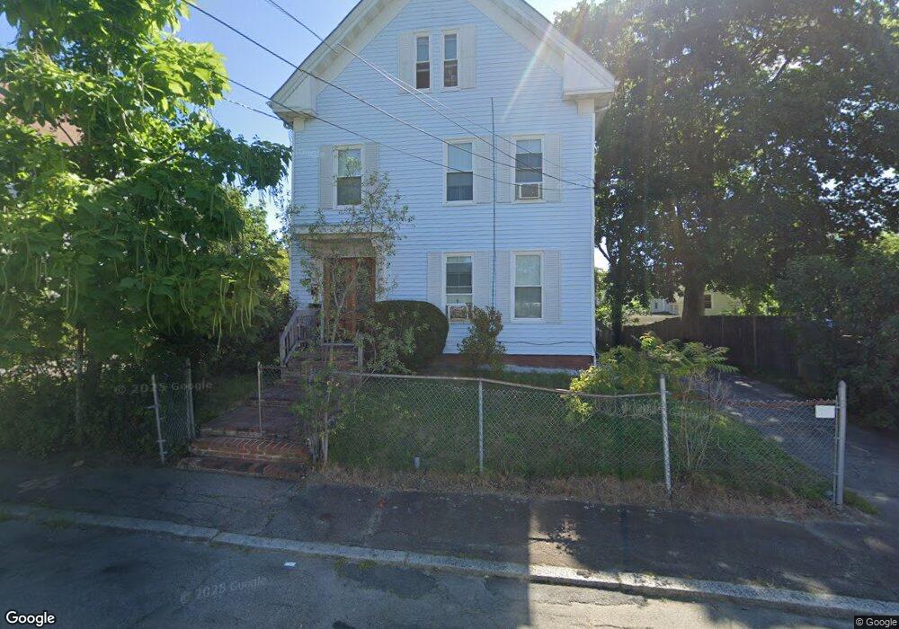
9 Mulberry St Brockton, MA 02302
Estimated Value: $540,949 - $650,000
4
Beds
2
Baths
1,932
Sq Ft
$311/Sq Ft
Est. Value
About This Home
This home is located at 9 Mulberry St, Brockton, MA 02302 and is currently estimated at $600,487, approximately $310 per square foot. 9 Mulberry St is a home located in Plymouth County with nearby schools including Brookfield Elementary School, Mary E. Baker Elementary School, and Downey Elementary School.
Ownership History
Date
Name
Owned For
Owner Type
Purchase Details
Closed on
Feb 25, 2000
Sold by
Young Patricia A
Bought by
Margeson John J and Margeson Virginia L
Current Estimated Value
Home Financials for this Owner
Home Financials are based on the most recent Mortgage that was taken out on this home.
Original Mortgage
$121,600
Interest Rate
8.15%
Mortgage Type
Purchase Money Mortgage
Create a Home Valuation Report for This Property
The Home Valuation Report is an in-depth analysis detailing your home's value as well as a comparison with similar homes in the area
Purchase History
| Date | Buyer | Sale Price | Title Company |
|---|---|---|---|
| Margeson John J | $128,000 | -- |
Source: Public Records
Mortgage History
| Date | Status | Borrower | Loan Amount |
|---|---|---|---|
| Open | Margeson John J | $139,000 | |
| Closed | Margeson John J | $121,600 | |
| Previous Owner | Margeson John J | $69,000 | |
| Closed | Margeson John J | $2,600 |
Source: Public Records
Tax History
| Year | Tax Paid | Tax Assessment Tax Assessment Total Assessment is a certain percentage of the fair market value that is determined by local assessors to be the total taxable value of land and additions on the property. | Land | Improvement |
|---|---|---|---|---|
| 2025 | $5,965 | $492,600 | $134,500 | $358,100 |
| 2024 | $5,970 | $496,700 | $134,500 | $362,200 |
| 2023 | $5,967 | $459,700 | $101,000 | $358,700 |
| 2022 | $6,011 | $430,300 | $91,600 | $338,700 |
| 2021 | $5,168 | $356,400 | $75,600 | $280,800 |
| 2020 | $4,409 | $291,000 | $71,500 | $219,500 |
| 2019 | $4,289 | $276,000 | $68,800 | $207,200 |
| 2018 | $4,336 | $270,000 | $68,800 | $201,200 |
| 2017 | $3,833 | $238,100 | $68,800 | $169,300 |
| 2016 | $3,922 | $225,900 | $66,600 | $159,300 |
| 2015 | $3,084 | $169,900 | $66,600 | $103,300 |
| 2014 | $3,057 | $168,600 | $66,600 | $102,000 |
Source: Public Records
Map
Nearby Homes
- 15 Mulberry St
- 78 Elliot St
- 86 Elliot St
- 23 Mulberry St
- 68 Elliot St
- 79 Elliot St
- 14 Emmet St
- 92 Elliot St
- 92 Elliot St Unit 92 Elliot st Unit 3
- 92 Elliot St Unit 3
- 92 Elliot St Unit 1
- 27 Mulberry St
- 83 Elliot St
- 18 Emmet St
- 12 Emmet St
- 77 Elliot St
- 89 Elliot St
- 96 Elliot St
- 67 Elliot St
- 16 Emmet St
Your Personal Tour Guide
Ask me questions while you tour the home.