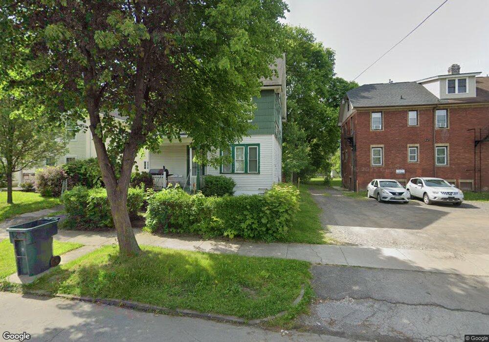
9 Nielson St Rochester, NY 14621
Northeast Rochester NeighborhoodEstimated Value: $65,000 - $105,000
About This Home
This home is located at 9 Nielson St, Rochester, NY 14621 and is currently estimated at $89,126, approximately $64 per square foot. 9 Nielson St is a home located in Monroe County with nearby schools including School 8-Roberto Clemente, School 9-DR Martin Luther King Jr, and School 50-Helen Barrett Montgomery.
Ownership History
We collect this data history from publicly available records. To have your information removed, we recommend requesting removal directly through your county’s website.
Purchase Details
Purchase Details
Purchase Details
Purchase Details
Home Values in the Area
Average Home Value in this Area
Purchase History
We collect this data history from publicly available records. To have your information removed, we recommend requesting removal directly through your county’s website.
| Date | Buyer | Sale Price | Title Company |
|---|---|---|---|
| -- | -- | ||
| -- | -- | ||
| -- | -- | ||
| -- | -- |
Tax History
We collect this data history from publicly available records. To have your information removed, we recommend requesting removal directly through your county’s website.
| Year | Tax Paid | Tax Assessment Tax Assessment Total Assessment is a certain percentage of the fair market value that is determined by local assessors to be the total taxable value of land and additions on the property. | Land | Improvement |
|---|---|---|---|---|
| 2025 | $638 | $68,500 | $5,500 | $63,000 |
| 2024 | $638 | $68,500 | $5,500 | $63,000 |
| 2023 | $327 | $28,800 | $2,800 | $26,000 |
| 2022 | $538 | $28,800 | $2,800 | $26,000 |
| 2021 | $521 | $28,800 | $2,800 | $26,000 |
| 2020 | $365 | $28,800 | $2,800 | $26,000 |
| 2019 | $408 | $25,400 | $2,800 | $22,600 |
| 2018 | $0 | $25,400 | $2,800 | $22,600 |
| 2017 | $0 | $25,400 | $2,800 | $22,600 |
| 2016 | $408 | $25,400 | $2,800 | $22,600 |
| 2015 | $1,478 | $24,000 | $2,800 | $21,200 |
| 2014 | $1,478 | $24,000 | $2,800 | $21,200 |
Map
- 25-27 Harris St Unit 25
- 183 Clifford Ave
- 60 Treyer St
- 34 Scrantom St
- 68 Lill St
- 36 Avenue A
- 1139 Saint Paul St
- 1085 Saint Paul St
- 330 Avenue B
- 79 Scrantom St
- 54 Avenue C Unit 56
- 340 Clifford Ave
- 116 Avenue D
- 256 Avenue D
- 274 Avenue D
- 22 Princeton St
- 37 Ok Terrace Unit 39
- 8 Princeton St
- 336 Avenue D
- 186 Hollenbeck St
- 15 Nielson St
- 13 Nielson St
- 17 Nielson St
- 11 Nielson St
- 19 Nielson St
- 14 Woodford St
- 12 Woodford St
- 12-14 Nielson St
- 12 Nielson St Unit 14
- 18 Woodford St
- 16 Woodford St
- 141 Conkey Ave
- 10 Woodford St
- 1 Gladys St
- 6 Woodford St
- 155 Conkey Ave Unit 157
- 155-157 Conkey Ave
- 3 Gladys St
- 22 Harris St
- 159-161 Conkey Ave
Ask me questions while you tour the home.