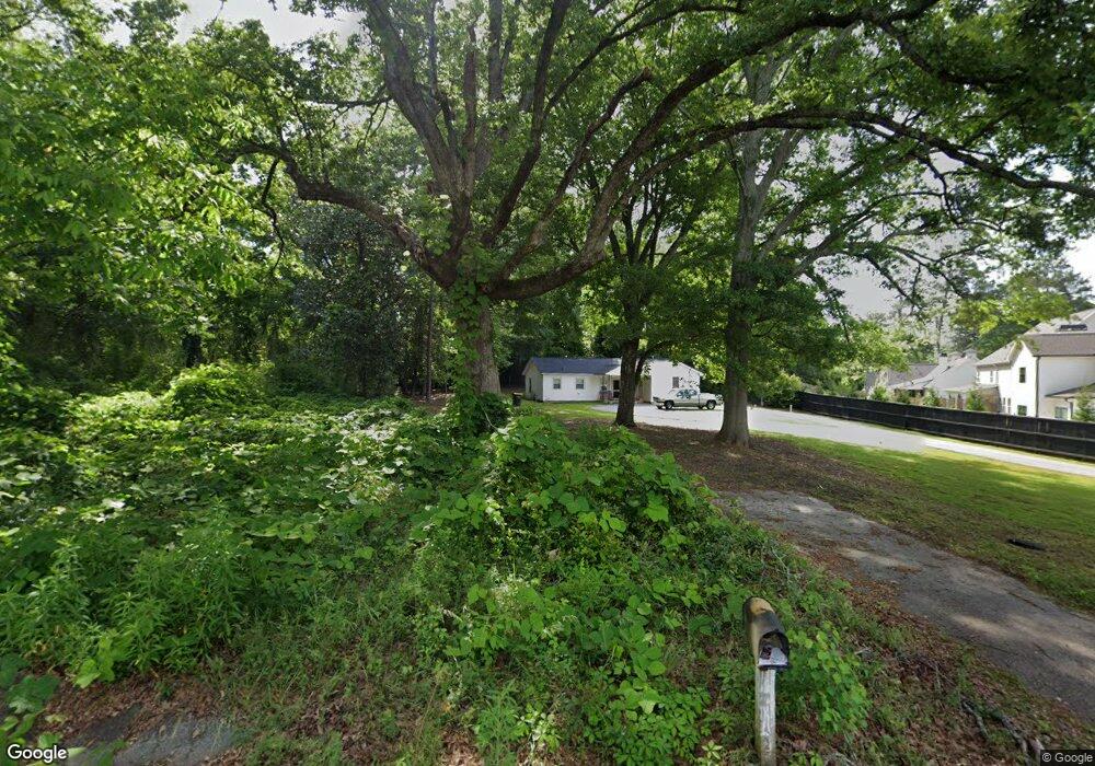
9 Phillips St Newnan, GA 30263
Newnan AreaEstimated Value: $98,000 - $347,000
About This Home
This home is located at 9 Phillips St, Newnan, GA 30263 and is currently estimated at $200,667, approximately $299 per square foot. 9 Phillips St is a home located in Coweta County with nearby schools including Elm Street Elementary School, Evans Middle School, and Newnan High School.
Ownership History
We collect this data history from publicly available records. To have your information removed, we recommend requesting removal directly through your county’s website.
Purchase Details
Purchase Details
Purchase Details
Purchase History
We collect this data history from publicly available records. To have your information removed, we recommend requesting removal directly through your county’s website.
| Date | Buyer | Sale Price | Title Company |
|---|---|---|---|
| $75,000 | -- | ||
| $22,500 | -- | ||
| -- | -- |
Tax History
We collect this data history from publicly available records. To have your information removed, we recommend requesting removal directly through your county’s website.
| Year | Tax Paid | Tax Assessment Tax Assessment Total Assessment is a certain percentage of the fair market value that is determined by local assessors to be the total taxable value of land and additions on the property. | Land | Improvement |
|---|---|---|---|---|
| 2025 | $192 | $8,000 | $8,000 | |
| 2024 | $183 | $8,000 | $8,000 | |
| 2023 | $183 | $8,000 | $8,000 | $0 |
| 2022 | $197 | $8,100 | $8,100 | $0 |
| 2021 | $218 | $8,100 | $8,100 | $0 |
| 2020 | $210 | $9,000 | $9,000 | $0 |
| 2019 | $41 | $1,363 | $1,363 | $0 |
| 2018 | $41 | $1,363 | $1,363 | $0 |
| 2017 | $41 | $1,363 | $1,363 | $0 |
| 2016 | $41 | $1,363 | $1,363 | $0 |
| 2015 | $367 | $12,162 | $1,363 | $10,798 |
| 2014 | $392 | $11,675 | $1,363 | $10,312 |
Map
- 22 Sanford Dr
- 7 Casey Rd
- 7 Casey Rd
- 3 Casey Rd
- 38 The Crescent
- 158 Jackson St
- 4 Casey Rd
- 6 Casey Rd
- 2 Casey Rd
- 145 Paxton Place
- 39 The Crescent
- 160 Paxton Place
- 144 Jackson St
- 12 Oak St
- 23 Willow Dr
- 12 Russet Way
- 0 Renkin Way Unit LOT 48
- 15 Turra Cove Unit LOT 4
- 61 Root Dr Unit 18
- 44 Flintwood Dr Unit 2
- 45 Roscoe Rd
- 5 Phillips St
- 51 Roscoe Rd
- 26 Sanford Dr
- 18 Phillips St
- 0 Parrott St Unit 3263504
- 0 Parrott St Unit LOT 68 7041778
- 0 Parrott St Unit 7127760
- 0 Parrott St Unit LOT 68 7131431
- 0 Parrott St Unit LOT 68 7447522
- 0 Parrott St Unit 8825723
- 55 Roscoe Rd Unit B1
- 55 Roscoe Rd
- 22 Phillips St
- 24 Sanford Dr
- 41 Sherwood Dr
- 57 Roscoe Rd
- 38 Sherwood Dr
- 0 Sherwood Dr Unit Lot 34 8430501
- 0 Sherwood Dr Unit LOT 34 9038995
Ask me questions while you tour the home.