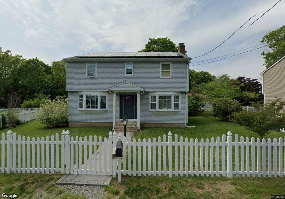
9 Spring St Gales Ferry, CT 06335
Gales Ferry NeighborhoodEstimated Value: $349,984 - $594,000
4
Beds
2
Baths
1,916
Sq Ft
$235/Sq Ft
Est. Value
About This Home
This home is located at 9 Spring St, Gales Ferry, CT 06335 and is currently estimated at $449,496, approximately $234 per square foot. 9 Spring St is a home located in New London County with nearby schools including Ledyard Middle School, Ledyard High School, and Academy Of St Therese.
Ownership History
Date
Name
Owned For
Owner Type
Purchase Details
Closed on
Mar 7, 2014
Sold by
Brown Colin P and Brown Vanessa M
Bought by
Levesque Benjamin and Levesque Kathryn
Current Estimated Value
Purchase Details
Closed on
Feb 20, 2002
Sold by
Richman David B
Bought by
Estey David J and Estey Theresa M
Create a Home Valuation Report for This Property
The Home Valuation Report is an in-depth analysis detailing your home's value as well as a comparison with similar homes in the area
Home Values in the Area
Average Home Value in this Area
Purchase History
| Date | Buyer | Sale Price | Title Company |
|---|---|---|---|
| Levesque Benjamin | $256,500 | -- | |
| Estey David J | $150,000 | -- |
Source: Public Records
Mortgage History
| Date | Status | Borrower | Loan Amount |
|---|---|---|---|
| Open | Estey David J | $240,000 | |
| Previous Owner | Estey David J | $124,000 |
Source: Public Records
Tax History
| Year | Tax Paid | Tax Assessment Tax Assessment Total Assessment is a certain percentage of the fair market value that is determined by local assessors to be the total taxable value of land and additions on the property. | Land | Improvement |
|---|---|---|---|---|
| 2025 | $5,821 | $156,730 | $42,070 | $114,660 |
| 2024 | $5,501 | $156,240 | $42,070 | $114,170 |
| 2023 | $5,400 | $156,240 | $42,070 | $114,170 |
| 2022 | $5,284 | $156,240 | $42,070 | $114,170 |
| 2021 | $5,250 | $156,240 | $42,070 | $114,170 |
| 2020 | $5,432 | $155,330 | $45,920 | $109,410 |
| 2019 | $5,446 | $155,330 | $45,920 | $109,410 |
| 2018 | $5,326 | $155,330 | $45,920 | $109,410 |
| 2017 | $5,054 | $155,330 | $45,920 | $109,410 |
| 2016 | $4,955 | $155,330 | $45,920 | $109,410 |
| 2015 | $4,722 | $155,330 | $45,920 | $109,410 |
| 2014 | $4,820 | $161,210 | $45,920 | $115,290 |
Source: Public Records
Map
Nearby Homes
- 15 Ferry View Dr
- 59 Kings Hwy Unit 5
- 14 Anderson Dr
- 1742 Route 12 Unit 2A
- 11 Blumenthal Dr
- 5 Blumenthal Dr
- 17 Comstock Ave
- 168 Kitemaug Rd
- 1637 Connecticut 12
- 32 Richard Rd
- 1581 Route 12
- 82 Christy Hill Rd
- 1561 Route 12
- 5 Tom Allyn Ct
- 9 Oakridge Dr
- 95 Kitemaug Rd
- 13 Hillside Dr
- 932 Long Cove Rd Unit LOT 4
- 19 Moxley Rd
- 20 Inchcliffe Dr
Your Personal Tour Guide
Ask me questions while you tour the home.