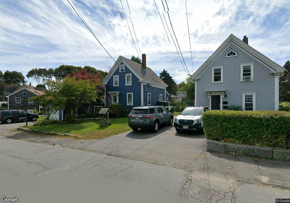
9 Stanwood St Gloucester, MA 01930
Estimated Value: $588,000 - $731,000
3
Beds
1
Bath
1,080
Sq Ft
$587/Sq Ft
Est. Value
About This Home
This home is located at 9 Stanwood St, Gloucester, MA 01930 and is currently estimated at $634,317, approximately $587 per square foot. 9 Stanwood St is a home located in Essex County with nearby schools including Beeman Memorial, Ralph B O'maley Middle School, and Gloucester High School.
Ownership History
Date
Name
Owned For
Owner Type
Purchase Details
Closed on
Sep 16, 1999
Sold by
Perry John J and Perry Elizabeth E
Bought by
Rigueiredo John R and Rigueiredo Joycee S
Current Estimated Value
Create a Home Valuation Report for This Property
The Home Valuation Report is an in-depth analysis detailing your home's value as well as a comparison with similar homes in the area
Purchase History
| Date | Buyer | Sale Price | Title Company |
|---|---|---|---|
| Rigueiredo John R | $185,500 | -- |
Source: Public Records
Mortgage History
| Date | Status | Borrower | Loan Amount |
|---|---|---|---|
| Open | Rigueiredo John R | $250,000 | |
| Closed | Rigueiredo John R | $223,600 | |
| Closed | Rigueiredo John R | $25,000 |
Source: Public Records
Tax History
| Year | Tax Paid | Tax Assessment Tax Assessment Total Assessment is a certain percentage of the fair market value that is determined by local assessors to be the total taxable value of land and additions on the property. | Land | Improvement |
|---|---|---|---|---|
| 2025 | $4,734 | $487,000 | $159,100 | $327,900 |
| 2024 | $4,665 | $479,400 | $151,500 | $327,900 |
| 2023 | $4,461 | $421,200 | $135,300 | $285,900 |
| 2022 | $4,312 | $367,600 | $117,700 | $249,900 |
| 2021 | $4,156 | $334,100 | $107,000 | $227,100 |
| 2020 | $4,058 | $329,100 | $107,000 | $222,100 |
| 2019 | $3,850 | $303,400 | $107,000 | $196,400 |
| 2018 | $3,675 | $284,200 | $107,000 | $177,200 |
| 2017 | $3,557 | $269,700 | $101,900 | $167,800 |
| 2016 | $3,461 | $254,300 | $106,300 | $148,000 |
| 2015 | $3,313 | $242,700 | $106,300 | $136,400 |
Source: Public Records
Map
Nearby Homes
- 2 Breezy Point Rd
- 31 Echo Ave
- 672 Washington St
- 13 Honeysuckle Rd
- 8 Mystic Ave
- 3 Rockland St
- 167 Atlantic St
- 178 Atlantic St
- 226 Atlantic St
- 98 Maplewood Ave
- 6 Monroe Ct
- 12 Arthur St
- 9 Cleveland Place
- 40 Sargent St
- 136 Leonard St
- 50 Warner St
- 113 Pleasant St
- 33 Maplewood Ave Unit 310
- 120 Washington St
- 15 Harvard St
Your Personal Tour Guide
Ask me questions while you tour the home.